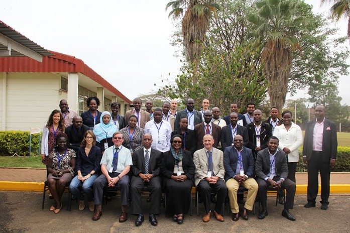
The Regional Centre for Mapping of Resources for Development (RCMRD) hosted a five-day forest degradation monitoring workshop from 19- 23rd, October 2015. The workshop attracted experts from various countries including Kenya, Burundi, Eritrea, Ethiopia, Djibouti, Rwanda, South Sudan, Sudan, Somalia, Tanzania, and Uganda. The workshop comprised presentations on methods, national capacities and dynamics, training and practical work, and synthesis of results and outlook. In terms of promoting forest monitoring in the East African region, the forest degradation monitoring workshop aimed at reinforcing the capacity to process, interpret and obtain information from satellite data, outline options and strategies for national forest agencies on how to monitor forest change, and assess worldwide forest change product by country.
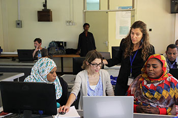
Participants being shown how a tool works during a training session in the lab.
This was among a set of workshops organized by the European Commission’s Joint Research Centre (JRC) to inform partner institutions and train them in techniques for monitoring and assessing forest degradation using remote sensing and field survey. The forest degradation monitoring workshop was under the ReCaREDD project hosted by JRC. The goal of the project is to increase the capacity of institutions in partner countries to report on forest degradation, in a dependable and cost-efficient way. RCMRD is implementing land degradation assessment and forest monitoring in the Intergovernmental Authority on Development (IGAD) region through the Monitoring for Environment and Security in Africa (MESA) project.
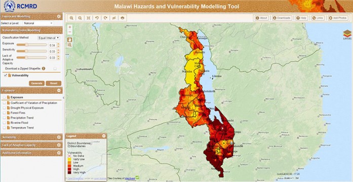
Malawi is among the countries most impacted by floods, droughts, forest fires, and variations in temperature and rainfall. The Regional Centre for Mapping of Resources for Development (RCMRD) and SERVIR-Eastern and Southern Africa have been collaborating with the Department of Disaster Management Affairs (DoDMA) in Malawi to find out just how vulnerable the country’s people are to these hazards and their effects on food security and livelihoods. RCMRD/SERVIR-E&S Africa and DoDMA compiled a
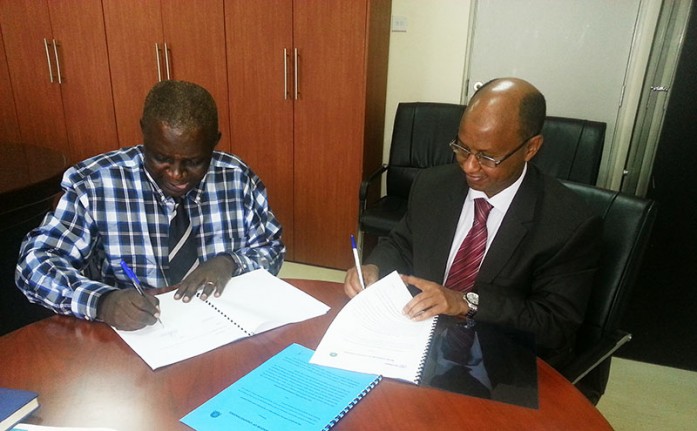
The Regional Centre for Mapping of Resources for Development (RCMRD) signed a memorandum ofunderstanding (MOU) with Lake Victoria Fisheries Organization (LVFO) on 28th October, 2015 in Jinja, Uganda. LVFO is a regional institution with a mandate to manage fisheries and aquaculture in the East African Community. The MOU was signed by Mr. Godfrey Monor, the Executive Director, LVFO, and Dr. Hussein Farah, the Director General, RCMRD. The partnership between RCMRD and LVFO will include sharing of water quality data, land cover maps, satellite imagery and geospatial products, and collaboration in capacity development of LVFO in Geographic Information System (GIS) and Remote Sensing (RS). Under the partnership, LVFO’s secretariat will provide historical Insitu water quality data to RCMRD for validating satellite derived water quality and improvement of RS methods.
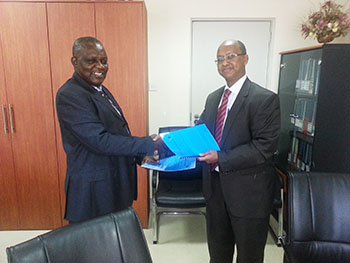
Signing of MOU between RCMRD and LVFO.
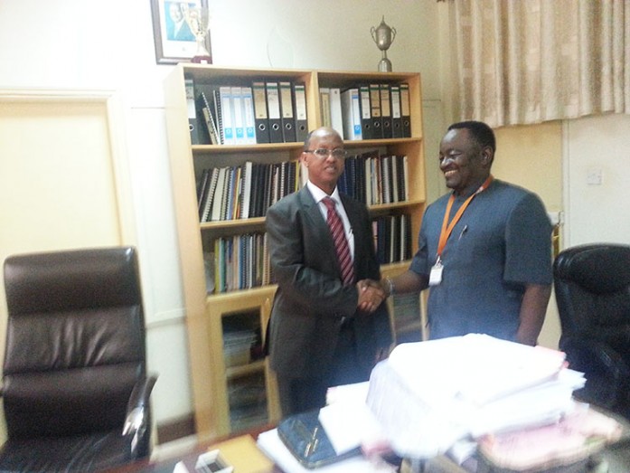
Dr. Hussein Farah, the Director General, Regional Centre for Mapping of Resources for Development (RCMRD) met Mr. Gabindadde-Musoke, the Permanent Secretary, Ministry of Land and Urban Development in Kampala, Uganda on 27th, October, 2015. Also present during the meeting was Mr. Wilson Ogaro, the Commissioner of Survey and Mapping, Uganda. The Permanent Secretary thanked RCMRD for the support they have provided to the Ministry and four other institutions in Uganda. He requested RCMRD to support his Ministry in training of staff in Geo-database creation and management and conversion of hardcopy maps into digital formats.
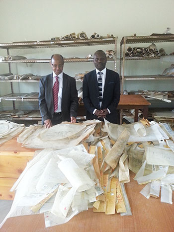
Dr. Farah at the Surveys and Mapping offices.