The Regional Centre for Mapping of Resources for Development (RCMRD) is holding the first meeting of the Global Geospatial Information Management (GGIM). The three-day meeting has attracted over 30 participants including heads of national institutions in charge of mapping activities in African countries and in the geospatial industry, experts from academia, research institutions, and the private sector, representatives of sub-regional and regional organizations, partners and other stakeholders, producers and users of geospatial information.
The United Nations Secretariat has established the United Nations GGIM with an aim of setting up a formal mechanism under the United Nations (UN) auspices to discuss and coordinate GGIM activities and by involving member States as the main players. The African Cluster (UN-GGIM: Africa) was established during the first meeting held in December, 2014 in Tunis, Tunisia. Member States chose the Economic Commission for Africa (ECA) as the secretariat of the interim bureau to guide the process toward its international recognition. At its 5th session, in August 2015, UN-GGIM adopted its decision, which formally established UN-GGIM: Africa and confirmed ECA as the regional committee’s secretariat.

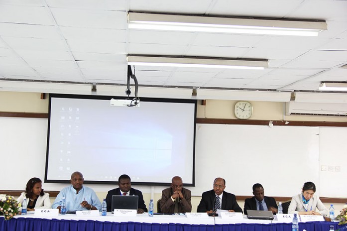
Participants of the UN-GGIM: Africa first meeting.
This first meeting aims at formally endorsing UN-GGIM: Africa by member States, discussing the important aspects and agree on a basic set of concepts, practices, standards and guidelines that are significant to operations, assess and validate the draft Action Plan being prepared, adopting rules of procedure and organizational structure with the election of its bureau, and formalizing the establishment of the working groups. The primary aim of the first meeting is to discuss, adopt and endorse a regional body charter to coordinate UN-GGIM activities in Africa.


