Transparency is a critical component of a functioning land administration system with regards to the scarcity of clear and credible information on land availability, land rights and land transactions and the poor distribution of public information on land policy and institutions. The danger of corruption and inequalities are very real in land allocation

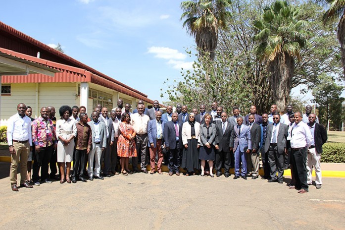
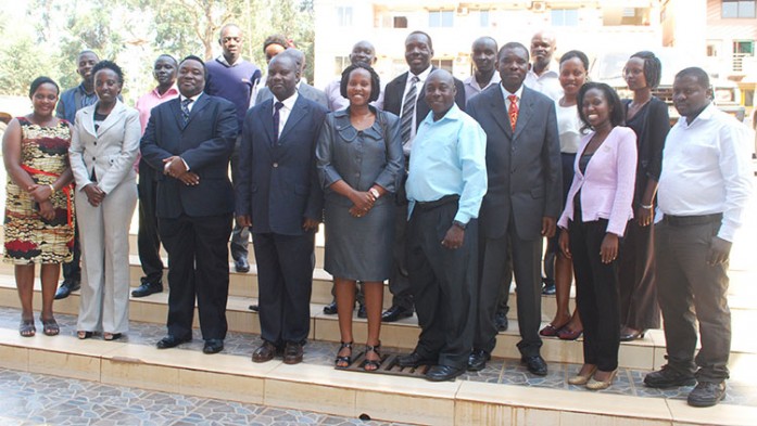
The Regional Centre for Mapping of Resources for Development (RCMRD) held a national workshop on agricultural productivity and drought prediction in the week of 29th September in Kampala, Uganda. The workshop’s goal was to introduce the Drought Prediction and Agricultural Productivity project and tools being developed at RCMRD to

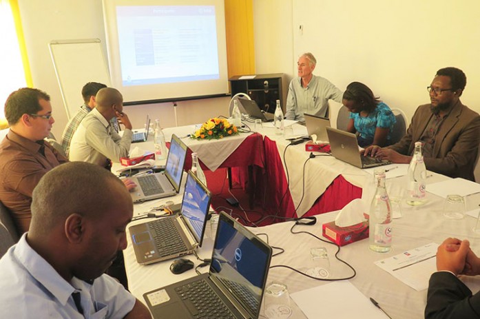
The Regional Centre for Mapping of Resources for Development (RCMRD) attended the water open information system workshop held in Tunis from 5-9th October, 2015. The workshop was organized by the European Space Agency’s Tiger Capacity Building Facility / ITC in collaboration with Sahara and Sahel Observatory (OSS). Water Open Information System (WOIS) is an open source software suite developed by ESA (European Space Agency) under the framework of the Technology Informatics Guiding Education Reform (TIGER) initiative. WOIS contains workflows for processing satellite imagery and derived products to evaluate, track and quantify some aspects related to water resources management.
Cross Reference
http://www.oss-online.org/

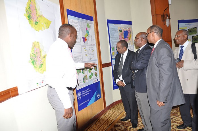
In the last three years, the Regional Centre for Mapping of Resources for Development (RCMRD) has focused on developing countries’ capacities to create land cover maps appropriate for Greenhouse Gas (GHG) emissions inventories. The RCMRD/SERVIR-Eastern and Southern Africa land cover mapping project started with six countries,