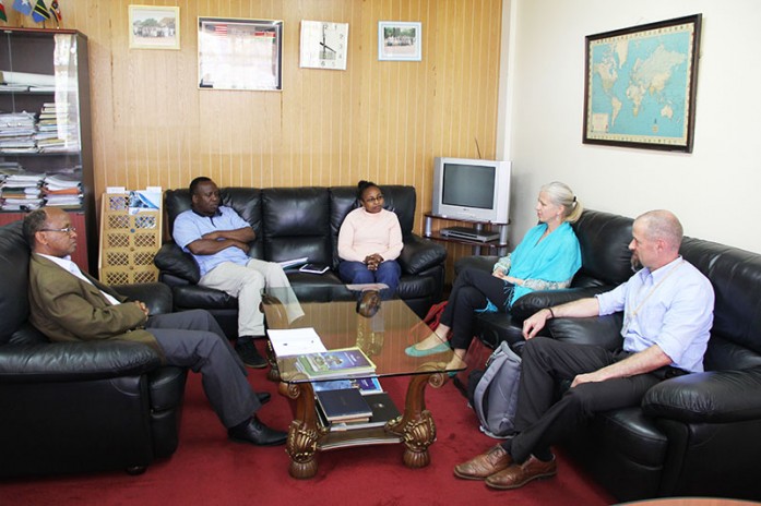
The management of the Regional Centre for Mapping of Resources for Development (RCMRD) held a closed door meeting with Athina Trakas, the Director European and Africa Services, the Open Geospatial Consortium (OGC) and Arnulf Christl, Spatial Systems Architect, former president and founder, the Open Source Geospatial Foundation (OSGeo) on 6th November, 2015. The aim of the meeting was to get more information on OGC and OSGeo and their related activities. OGC is a member of OSGeo and OSGeo is a member of OGC. OGC is a standards body dealing with geospatial data with 520 members, while OSGeo is a voluntary membership project with a mission to support the collaborative development of open source geospatial software, and promote its widespread use. Also, RCMRD was a member of OGC.


