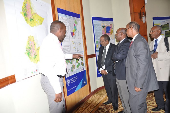
In the last three years, the Regional Centre for Mapping of Resources for Development (RCMRD) has focused on developing countries’ capacities to create land cover maps appropriate for Greenhouse Gas (GHG) emissions inventories. The RCMRD/SERVIR-Eastern and Southern Africa land cover mapping project started with six countries,
including Malawi, Rwanda, Zambia, Namibia, Tanzania, and Botswana. During 2014-2015, the project expanded to include three additional countries; Lesotho, Uganda, and Ethiopia.
The land cover in Lesotho, Uganda, and Ethiopia is fairly diverse. In Lesotho, much of the forest vegetation is in the form of plantation forests that resulted from policy changes in recent years that encourage reforestation. Uganda is one of the few countries within the East Africa region that still maintains its tropical forests. However, in Uganda a great deal of deforestation has taken place; much of the remaining forested land is within protected areas. The significant drivers of change in this region have been a rapidly growing population, poverty, and an increase in agricultural lands and urban areas to cater to the rise in population. On the other hand, Ethiopia has a more diverse land cover than the other countries. The north eastern side of the country is mostly degraded and features bare lands and rock outcrops. The central part of the country is mostly agricultural land, and forests can be found in the west. Read more
Cross Reference
http://www.ena.gov.et/en/index.php/environment/item/611-ethiopia-s-forest-coverage-reaches-15-pct


