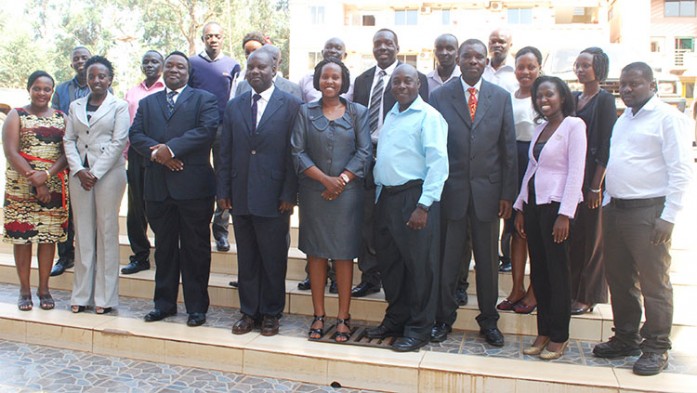
The Regional Centre for Mapping of Resources for Development (RCMRD) held a national workshop on agricultural productivity and drought prediction in the week of 29th September in Kampala, Uganda. The workshop’s goal was to introduce the Drought Prediction and Agricultural Productivity project and tools being developed at RCMRD to
help various ministries use data from Earth observation satellites to assess drought and crop productivity in Uganda. The workshop also served as a user needs assessment to gather the needs of the various ministries and their capacities in using earth observation data and products for decision making.
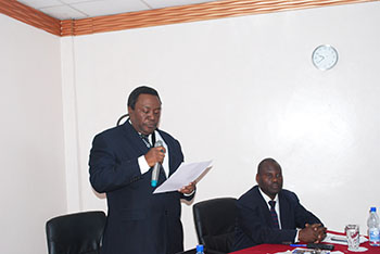
Mr. Richard Oput, a Commissioner in the Ministry of Lands, Housing and Urban Development, Land Tenure Reform Program speaking during the opening ceremony.
The stakeholders involved in the workshop were from different institutions including National Forest Authority, Ministry of Water and Environment, National Environmental Management Authority, Uganda Meteorological Department, Ministry of Agriculture, Uganda Bureau of Statistics. The participants had technical expertise and some had some knowledge and skills in GIS. The workshop mainly involved introduction to the Regional Hydrologic Extremes Assessment System (RHEAS) which is the framework that combines a hydrologic model; the Variable Infiltration Capacity (VIC) for hydrological assessment and a crop model; the Decision Support System for Agrotechnology Transfer (DSSAT). Further, climate and crop yield modelling tools GeoClim and GeoWRSI developed by FEWSNET were also demonstrated. The Ministry of Agriculture Ministry of Agriculture appreciated the usefulness of these tools and showed its willingness to embrace them to improve information to decision makers.


