![]()
![]()
Forest management requires reliable information on forest status and its evolution. The main intention of forest inventories is to define the extent, assess the composition and condition of forest resources to ensure sustainable forest management, which calls for an up to date forest inventory.
Great attention has been paid to biomass estimation in recent years because biomass can simply be converted to carbon storage which is very important to understand the carbon cycle in the environment. Biomass is typically defined as the oven-dry mass of the above ground portion of a group of trees in forestry. Conventionally, it is estimated using measurements which are recorded on the ground. On the other hand, LIDAR (Light Detection and Ranging) data is also very useful in estimating forest biomass. Hence time-consuming field works can be avoided, and data from inaccessible areas can be acquired using a relatively low cost and automated LIDAR system. Tactical decisions on natural resource management require accurate and up to date spatial information for sustainable forest management. Remote sensing devices using multi-spectral data obtained from satellites or airborne sensors, allow substantial data acquisition that reduces the cost of data collection and satisfies demands for continuous precise data.
RCMRD/SERVIR E&SA has been involved in capacity building of several stakeholders involved in the forest resources assessment and management. RCMRD collaborated with the Kenya Forest Service (KFS) to collect field data which will assist in training and validation of LIDAR measurements. RCMRD has over time received requests from member States to offer capacity building on specific applications of LIDAR data for tree height mapping and canopy density measurements.
Due to the inadequate technical skills in LIDAR data processing for forest biomass estimation within the region, RCMRD/SERVIR E&SA is collaborating with NASA Science Coordination Office to bridge this gap. RCMRD and NASA, with support from USAID will engage an expert in LIDAR data processing to provide training on this subject. A training workshop is scheduled that will take place at RCMRD from March 11 to 14, 2019. The lead trainer Dr. John David Armston has a wide experience in application of LIDAR data in an array of fields, which regional institutions would immensely benefit from.
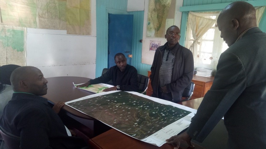
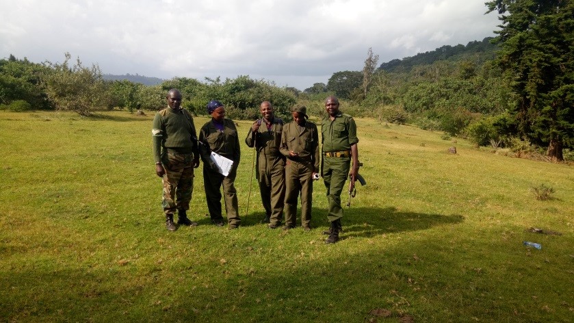
For the training to be effective, a baseline forest data on tree metrics (tree heights, diameter, and the crown cover) are required in the validation of LIDAR point clouds, and hence the need to collect field plot data based on the approved KFS data collection protocol. It was for this reason that KFS/RCMRD undertook a collaborative data collection exercise in the Central highland forests in Kenya between February 3 and 8, 2019. The plots have been mapped and demarcated on the ground as per the ICFRA biophysical assessment technical manual. These were sampled with the help of highly experienced foresters from the forest department.

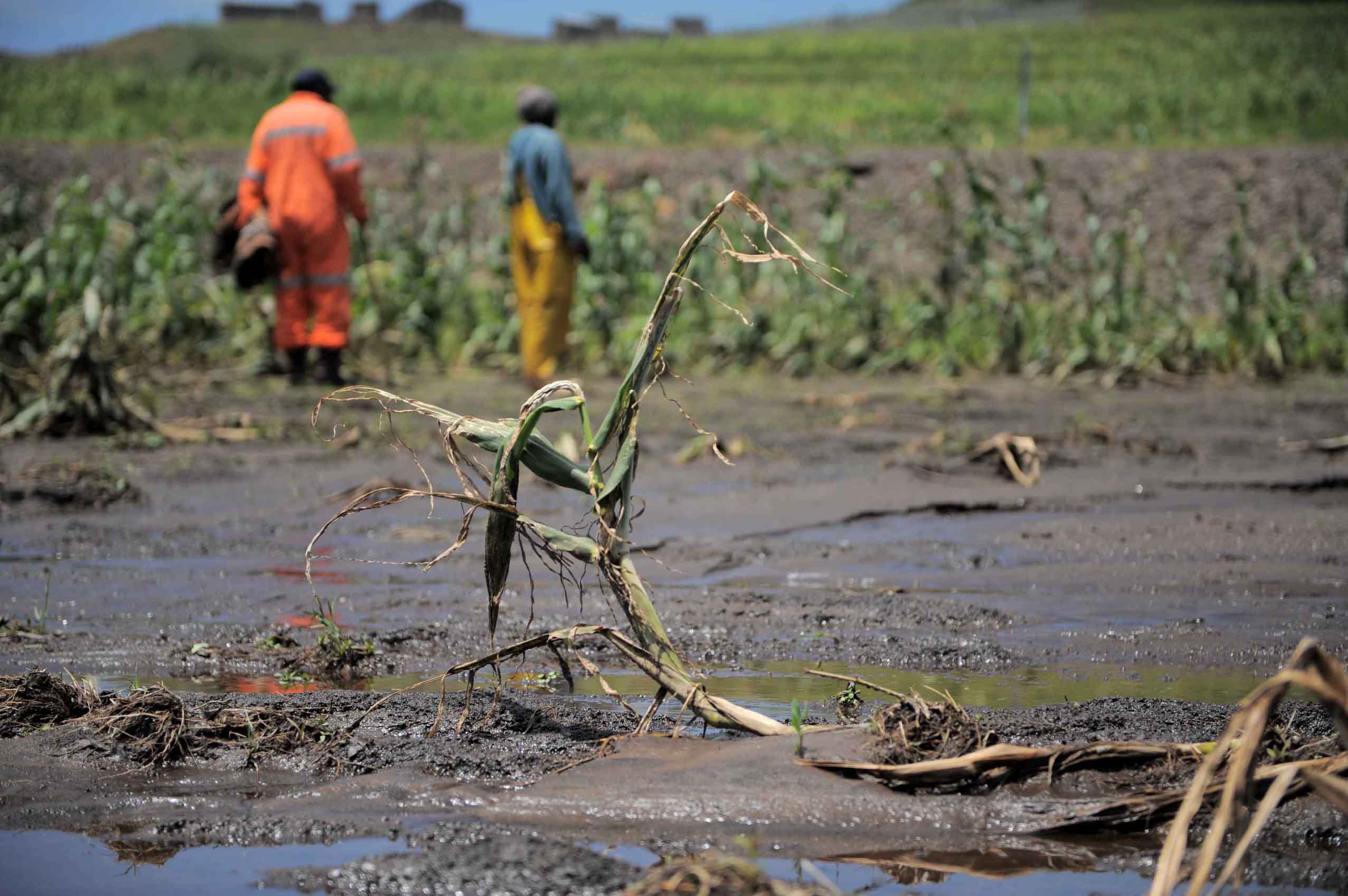
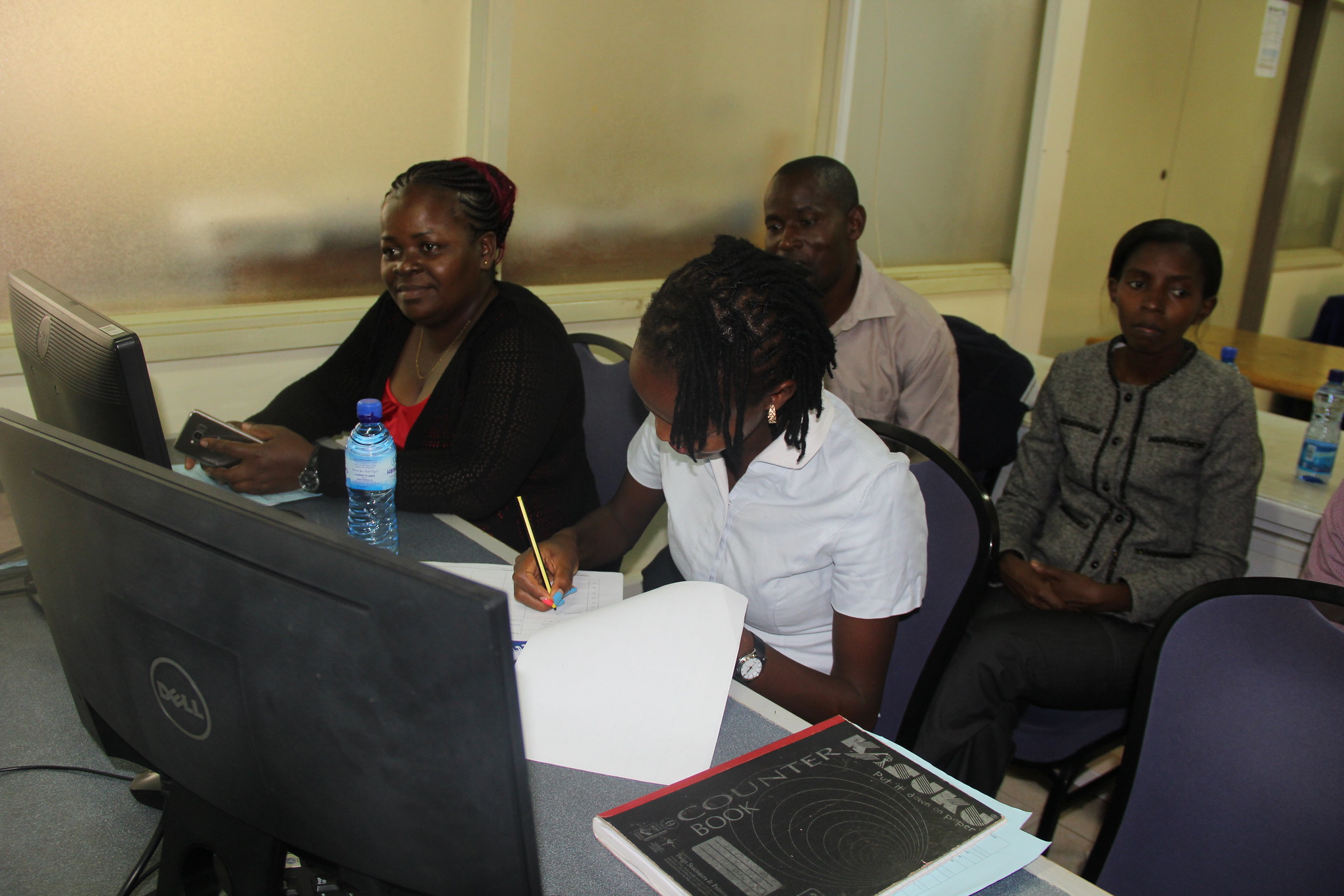
Poor farmers in developing countries often face a high risk of losing crops to drought or other weather-related disasters. Agricultural index insurance is a promising tool to transfer risks for smallholder farmers, allowing them to invest more in productive inputs and recover better in the face of shocks. However, households currently have no way to tell whether and when a contract will fail them in a time of need just by looking at its terms and cost. It can take years before a catastrophe makes the difference clear. By then it’s too late.
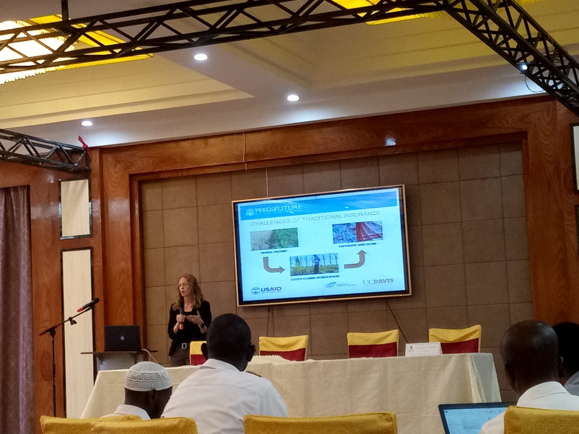
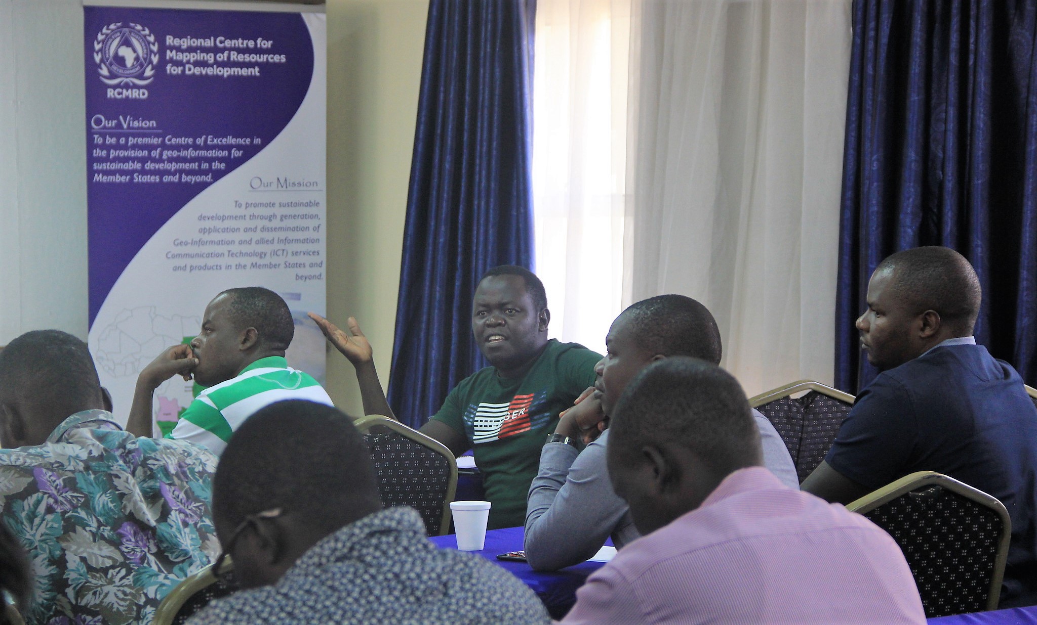
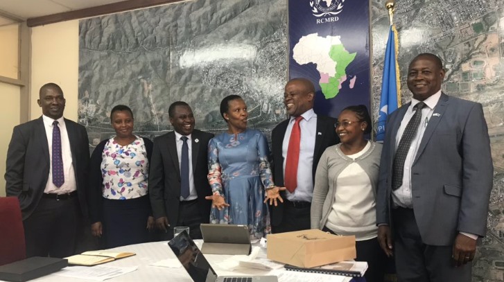
The Regional Center for Mapping of Resources for Development (RCMRD) is partnering with the University of California, Davis (UC-Davis) to establish an agricultural index insurance quality certification in Kenya and neighbouring coountries. In mid February, stakeholders held a meeting whose objective was to engage the Ministry of Finance in Uganda and government and insurance stakeholders in the region (Uganda, Ghana, Kenya, Mozambique, Zambia); to discuss the roles of public and private sector in the agriculture insurance.
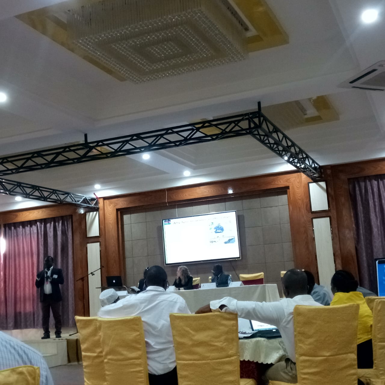
The meeting was organized by the UC-Davis team consisting of (Prof. Michael Carter, Tara Chiu and Eleanor Benami) with RCMRD participating and providing context on satellite imagery and the Centre’s role in the planned implementation of the Quality Index Insurance Certification (QUIIC). The meeting was opened by a principal economist in the Ministry of Finance – Mr. Richard Ndyanabo and Sheila Desai- who is the USAID Director for Economic Growth Office in Uganda. Day one focused on presentations from participants on their experiences implementing agricultural insurance.
Some of the challenges identified included acquisition and synthesis of satellite data in insurance products design, the needs for capacity building and costs of data acquisition. With the growth in satellite imagery, how can the insurance providers understand if they are using the best and the right satellite data in their products design. One of the greatest challenges with agricultural insurance is if it does not work, the farmers situation is even worse since they lose their assets despite investing in insurance. Prof. Michael Carter and Tara Chiu from UC-Davis emphasized on the need for assessing the quality of the insurance products. RCMRD's Lilian Ndungu the Thematic Lead, Agriculture & Food Security provided context on RCMRD’s role as a strategically positioned Centre of excellence in geo-information and their role in the development and implementation of minimum quality standards through implementation of the QUIIC on day one.
The Ministry of Agriculture representative from Kenya Mr. Tom Dienya presented on implementation of the Kenya Crop Insurance Program emphasizing the role of RCMRD in supporting the Ministry in improving agricultural monitoring and implementing the sampling frame through use of satellite derived products. Day two focused on economics of contract quality and insurance contract Design.
Participants also had a chance to test a prototype for simulating the Minimum Quality Standard that is the principle behind the QUIIC. Application of the right datasets in product design is critical in the success of an insurance product in accurately triggering payouts when extreme events Occur. Ndungu presented on the current work being done by RCMRD in supporting insurance products design. The two-day meeting held on February 14 and 15 provided an avenue for further engaging stakeholders and sensitizing them on the need for quality assessments in the implementation of the insurance products through the QUIIC.
An ongoing partnership between RCMRD/SERVIR-ESA project and the University of California, Santa Barbara (UCSB) has improved the use of hydrological and climate data, information and web services to solve development problems in the Eastern and Southern Africa region.
Mr. Dennis Macharia, the SERVIR E&SA Weather and Climate Lead at RCMRD noted that “Data and skills are the two most critical needs of a hydro meteorologist in order to successfully accomplish his or her duties." He added, "In our region, accessing data can be a challenge, and when it is possible, still requires expertise. Our partnership with UCSB and hydro met service agencies in the E&SA regions addresses these challenges quite remarkably." Several training workshops have been completed in the region with the main objective of these training workshops being to provide hands-on training using case studies from the region on access to hydrological and climate based satellite earth observation and model data from the National Aeronautics and Space Administration (NASA) and regional agencies, water availability monitoring and modelling, climate scenario modelling, and crop weather index insurance analysis.
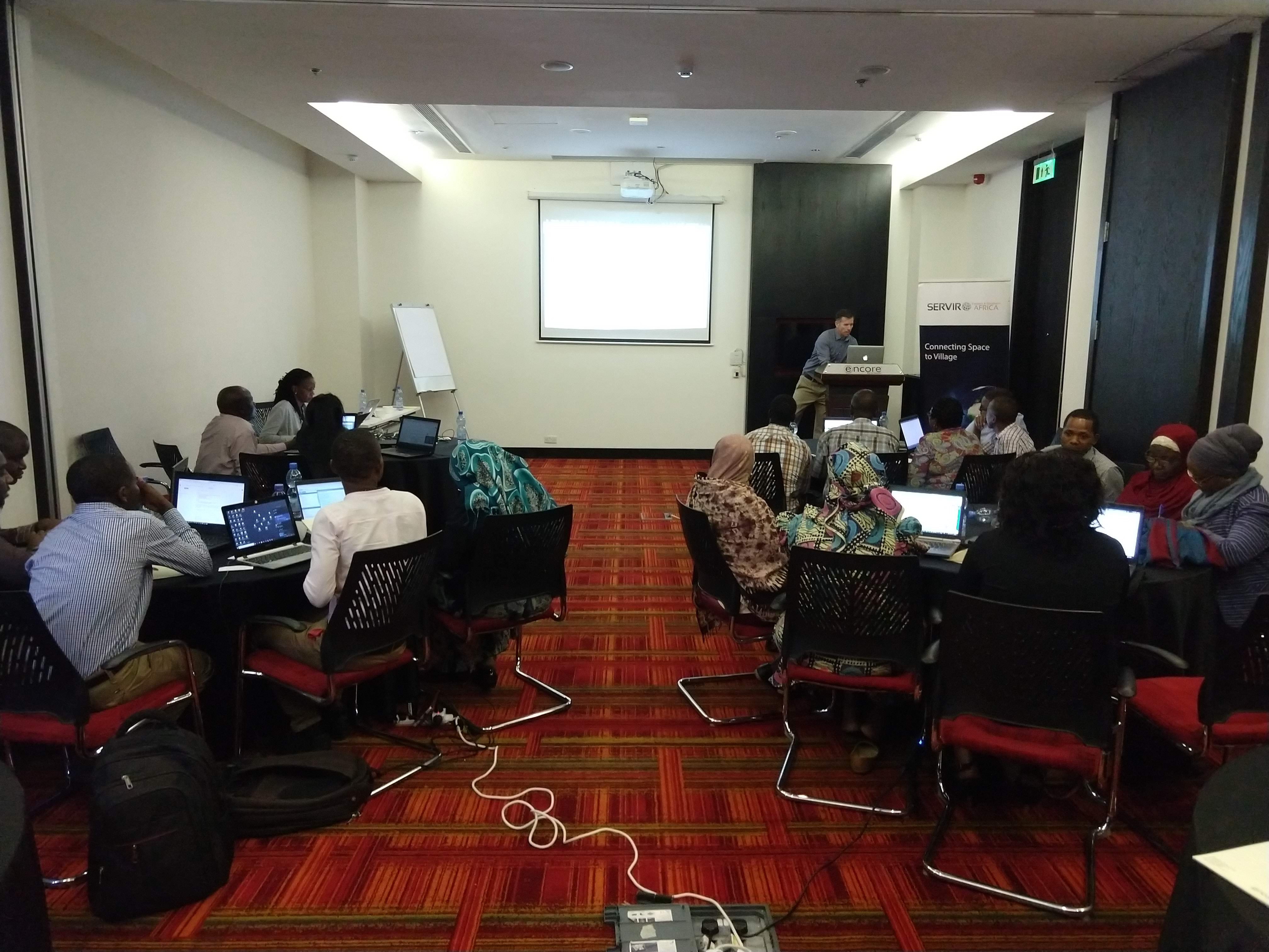
Over the last two and a half years, UCSB has been working with RCMRD to enhance access to remote sensing datasets, models and tools that can improve regional hydro climate applications/analyses and ultimately, aiding decision making. One national workshop was held in Kenya in 2017 followed by two regional workshops held in Tanzania and Zambia in 2018 with a group of participants from Kenya, Tanzania, Uganda, Rwanda, Ethiopia, Malawi, Botswana, Mozambique and Zambia. Participants were mainly drawn from hydro-meteorological services. In the third and final joint regional workshop organized with support from the University of Maryland (UMD) and UCSB who are both SERVIR-Applied Sciences Team (AST) grantees took place in Dar es Salaam, Tanzania from February 27 to March 1, 2019. A core group trained in the other two workshops have demonstrated utility of datasets and skills transferred to them. This project benefits both the trainees and the University of California, Santa Barbara’s Climate Hazards Center (CHC) through the reciprocal nature of collaborative training. The trainees were introduced to advanced EOs and web services, and the CHC comprehends the existing needs and challenges in the application of EOs and web services. Mr. Macharia, the activity lead and Mr. Patrick Kabatha a GIT Technical Expert attended the workshop and facilitated at the training.
The joint training brought together a core group of participants who attended the previous trainings in Kenya, Tanzania and Zambia and demonstrated useful practical use of the datasets and skills transferred to them. There was a second group of participants drawn from the Tanzanian Ministry of Agriculture (MoA). This group has been working with UMD in implementing the Tanzania Crop monitor together with UMD. In addition to the Agriculture Ministry staff and the regional hydro-meteorologists, RCMRD and her partners added two female participants who joined in the “Rwanda Women in Vulnerability Assessments” workshop held in Kigali in January this year to increase the participation of women in science activities as an approach to implement the SERVIR- ESA gender strategy. The benefits of such trainings span the breadth of the CHC widespread network of affiliates and partners. 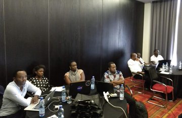
In the last five years, the UCSB team has produced a consistent rainfall data set and recently, an analogous temperature data set. Both data sets support analyses that are proving useful in addressing developmental challenges in the E&SA countries. The partnership is also providing key skills that are necessary to realizing maximum potential in the use of the data sets, training technical users in different applied skills like climate seasonal scenarios development and hydrological modeling.

A multitude of different datums, different ellipsoids and different projections, confusion within countries as to appropriate datums, projections and transformations to use, confusion and delays in cross-border projects including transport corridors, mapping projects, conservation and environment, exploitation of mineral resources and confusion and conflict regarding international borders.
Consequently, the African Geodetic Reference Frame (AFREF) was conceived as a unified geodetic reference frame for Africa to be the fundamental basis for the national and regional three-dimensional reference networks fully consistent and homogeneous with the International Terrestrial Reference Frame (ITRF).
AFREF was established as a continental reference system as a basis for national reference networks. It was also established as a permanent GNSS (Global Navigation Satellite Systems) base stations such that users will be within 500km of a base station and that data is freely available to all users. It is also meant to realize a unified vertical datum and to support efforts to establish a precise African geoid. 
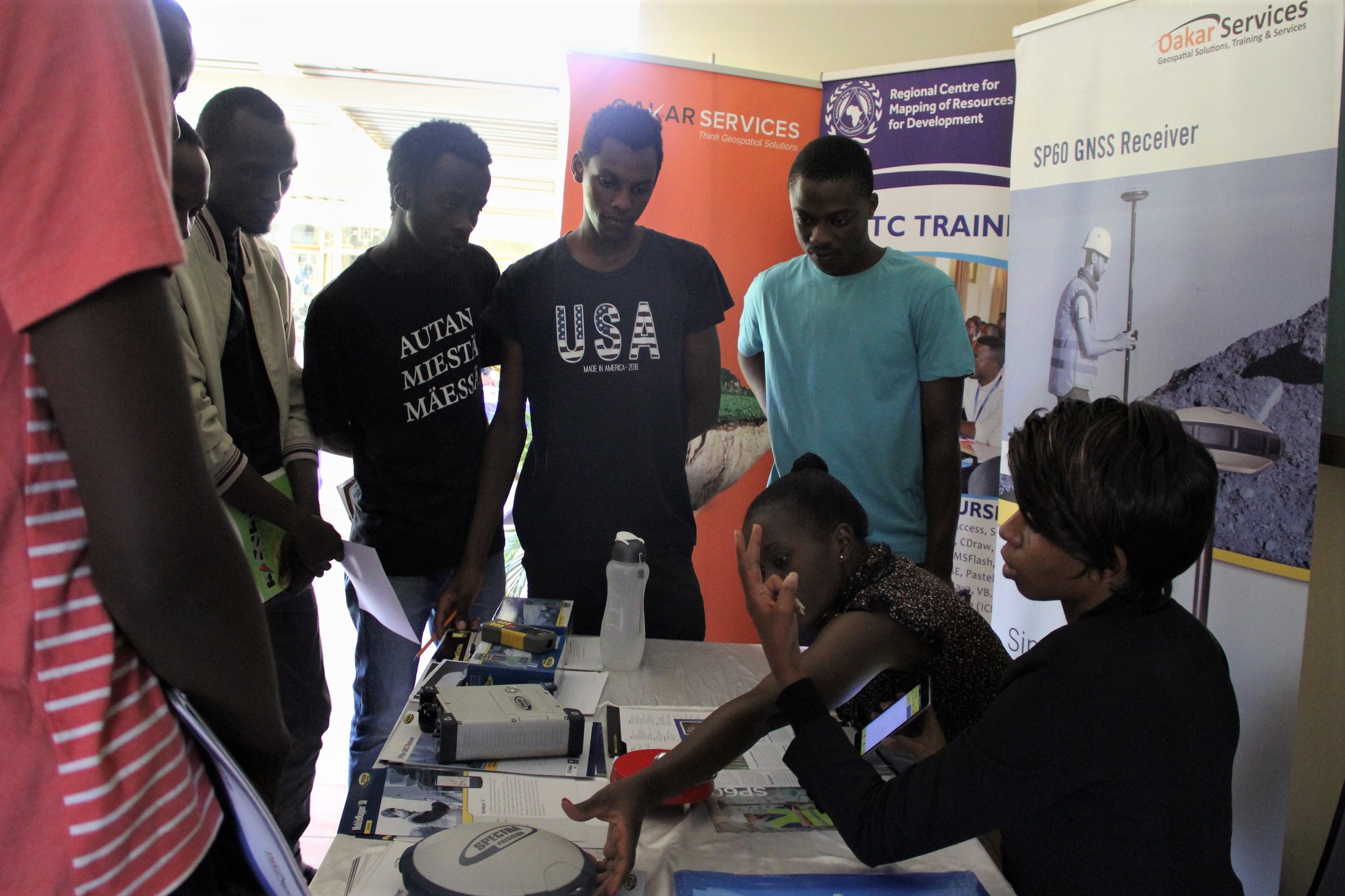
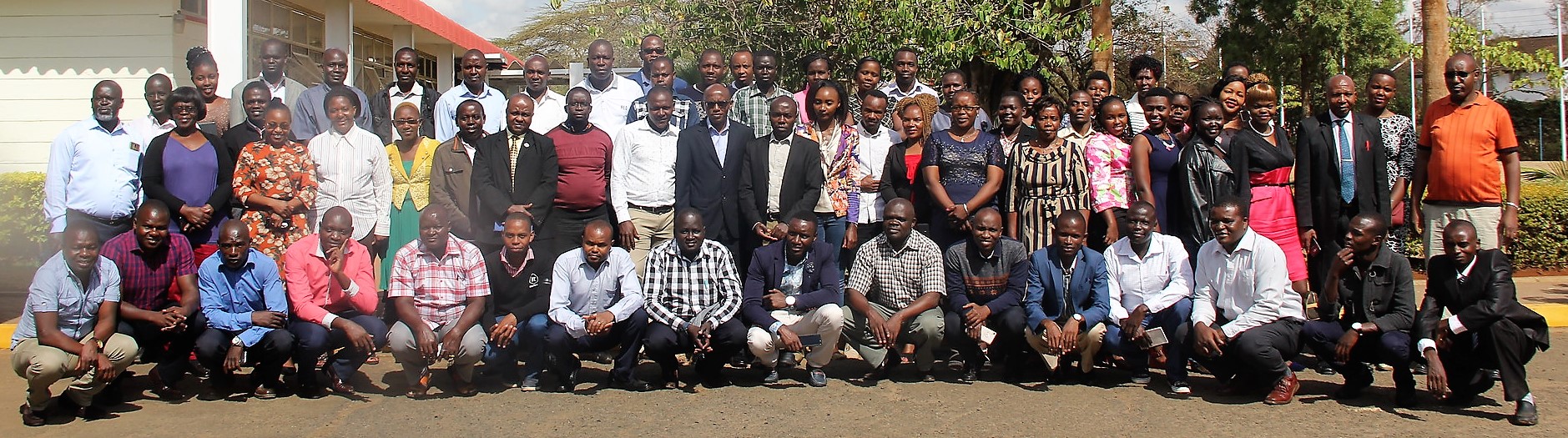
The 2019 edition of AFREF and GNSS Data Processing Training was held at RCMRD premises between March 4 and 8, 2019 with over 60 participants from across Africa. RCMRD is mandated to coordinate the implementation of the AFREF project. The training was supported by various firms such as Trimble, Leica, TOPcon, ComNav Technology, Measurements systems, SinoGNSS, OAKAR services and SEGAL.
The purpose of the course was to provide technical skills in the establishment of AFREF and National Real Time GNSS Networks, installation of CORS, handling, dissemination and processing of GNSS data. AFREF has been held in September in previous years but was held in March which was agreed upon by partners from this year onward.
The trainees were Land surveyors, Geodesist, Engineers, Researchers and Cartographers from African countries with some experience in Global Navigation satellite System (GNSS) technologies. The course covered: AFREF Concepts and progress; Global Navigation Satellite System (GNSS) Technologies; Establishment of Continuously Operating GNSS Reference Systems (CORS), and National Real Time GNSS Networks (NRTN); GNSS Augmentation Systems and Availability in Africa; Reference systems, AFREF, datum and Coordinate systems & transformations; Practical field work on Static GNSS surveys, RTK surveys using Base/Rover, and RTK surveys using CORS as well as Practical GNSS data post processing and reporting using open source software.
The one week workshop instilled skills on data collection using different data collecting systems, and post processing of the data on the trainees who were mostly land surveyors, engineers, lecturers, and data collectors. In his opening remarks, Director General RCMRD Director General Dr. Emmanuel Nkurunziza said, "I encourage individuals from different countries to advice policy makers to use modern technology as far as survey measurements is concerned." The main areas covered were on Global Navigation Satellite Systems Technologies on data collection and data processing, and the aim, effects, and the structure of AFREF in Africa.
The participants heard that, AFREF aims at harmonizing geodetic systems from neighbouring countries into one reference system, i.e. from local reference system to global reference system. Moreover, it also unifies vertical controls in the region. To achieve this, GNSS base stations require to be established such that users are within 500km from a particular base station.
In Africa, there are countries that have established GNSS base stations such as Kenya Rwanda, South Africa, Botswana, and Ethiopia. With these, a data collector Kenya can be connected to a Continuously Operating Reference System (CORs) in any African state. In the workshop, other member States of RCMRD were urged to advice their policy makers on the need to establish GNSS base stations in partnership and assistance from RCMRD.
Giving the status of implementation, Mr. Muya Kamamia the Principal Geomatic Officer at RCMRD said that presently, 22 Countries had established GNSS permanent stations, more than 50 permanent stations are sending data to AFREF data holding centre, some countries have CORS networks including South Africa, Botswana, Rwanda and Namibia while most member States have carried out feasibility studies to establish AFREF with the support of RCMRD. He also said some countries were currently implementing AFREF via World Bank support and they include Rwanda, Uganda, and Zambia. He also said other countries had resources from their national funds including Botswana and Kenya.
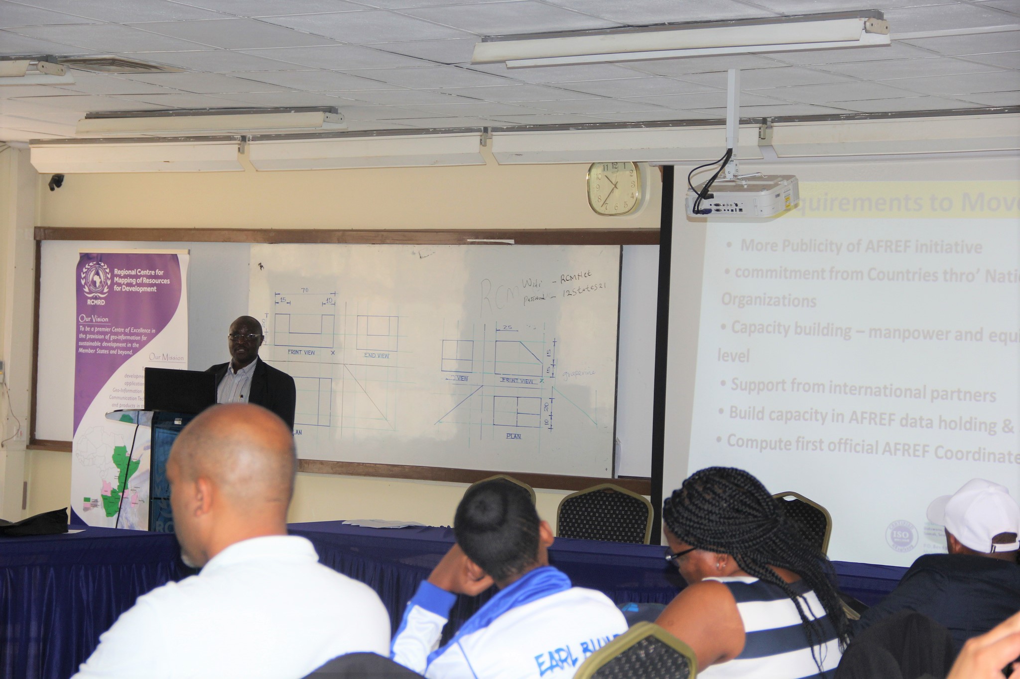
Muya said when fully implemented, AFREF would consist of a network of CORS such that a user anywhere in Africa would have free access to including the generated data. On the way forward, the workshop concluded that there was need for more publicity for the AFREF initiative, while more commitment was required from Countries through their National Mapping Organizations as well as the need for capacity building (manpower and equipment at national level) and support from international partners. It was also agreed that there was need to build capacity in AFREF data holding & analysis centres as well as computing first official AFREF Coordinates.
It was also agreed that AFREF and CORS networks shall be used in all applications requiring positioning and mapping including; Topographical mapping, cadastral mapping, precision farming, civil aviation, asset tracking & monitoring, monitoring earth crustal movement, weather forecasting and construction via automation.
Whereas different information systems exist in Rwanda, a short summary on the crop conditions for decision makers is lacking. SERVIR E&SA in conjunction with the University of Maryland has been promoting regional and national implementation of the crop monitors for agricultural decision making.
While SERVIR E&SA’s overarching goal focuses on assisting developing countries improve environmental management and resilience to climate change by strengthening the capacity of governments and other key stakeholders to integrate Earth Observation information and geospatial technologies into development decision-making, the University of Maryland's (UMD) crop monitor collaborators goal is enhancing the availability of food production information within the context of commodities markets and early warning of production shortfalls.
Successful implementation in Uganda, Tanzania and Kenya has improved monitoring and reporting of crop conditions through the combination of field data, earth observation data and expert knowledge. This has led to an interest in implementation of national crop monitors in Rwanda where the lack of a clear synthesis and development of a report for rapid assessment of crop conditions and other critical in season information precipitated the need for a National Crop Monitor.
The planned implementation of the Rwanda National Crop Monitor will allow for development of synthesis reports drawing information from existing sources and data collection systems such as the MIS (Management Information System), Smart Nkunganire and the Agricultural Land Information System (ALIS). This will allow for development of a timely, accurate and regular actionable information tool, provide a soft copy report that integrates data from different sources, reduce duplication of efforts in crop monitoring, and allow for structured engagements with critical partners and projects.
The national crop monitor capacity building sought to build the capacity of key selected technical officers in the application of Earth Observation (EO) data for crop conditions monitoring. The workshop build the capacity of selected participants in application of EO for crop conditions assessment and reporting. Pre-selected participants attended a five-day intensive training workshop consisting of hands-on training in crop conditions assessment using satellite and field data as well as national assessment report and readily available weather/climate data.
Experts from UMD and RCMRD delivered the training. Participants for the training were drawn from MINAGRI, Rwanda Meteo and RAB (Rwanda Agricultural Board). The training focused on discussing the implementation of the Rwanda National Crop Monitor, identifying regional champions to spearhead the process and identifying existing information sources that can contribute to the bulletin. Further, the training focused on building the capacity of the participants on application of Earth observation information for crop conditions monitoring using the GLAM portal, the EWX and the crop monitor portal. Successful implementation of a regional and national crop monitor system, that allow integration of data from existing sources, to provide synthesized briefs for decision makers, has prompted the request for downscaling crop monitoring systems.
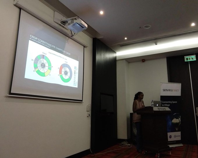
20 officers were equipped with practical skills in crop conditions assessment using satellite data from the Global Agriculture Monitoring System (GLAM). They were also trained on using the crop monitor interface for assessing, interpreting and reporting crop conditions by combining EO assessments with field reports. The participants were further trained on synthesis of crop monitor information to develop actionable information in a bulletin as well as developing a roadmap for implementation of the Rwanda National crop monitor.
During the training, they discussed reporting timelines, defined roles and reporting structures, bulletin information composition and formats, customizations (reporting boundaries, priority crops, aesthetics etc.). The participants also discussed about the development of a bulletin template and field reporting template. Strengthened practical skills in crop assessments using novel tools for timely reporting on the status of agricultural crops and streamlined crop conditions reporting and synthesis for decision making are expected of the participants after the training undertaken last week between March 4 and 8.

The five-day workshop comprised of presentations, extensive hands-on practical sessions, group discussions and experience sharing by participants. Pre- and post- workshop evaluations were conducted, and further training needs assessed. UMD has been promoting regional and national implementations of the crop monitors for agricultural decision making. The monitors provide an easy to use interface for combining earth observation datasets with other sources of information and generating maps on crop conditions at defined boundaries. The Monitors provide the countries and regions the flexibility to define their monitoring administrative boundaries, priority crops, reporting metrics; and provides their implementers with an easy to use interface for reporting the crop conditions and the drivers of other than favorable conditions.
The crop conditions determined through field observations and satellite data are combined with monthly and seasonal weather forecasts to provide an outlook for the season’s production. The information is then synthesized into bulletins with narratives and maps for internal decision making and dissemination to stakeholders. The training was led by Dr. Catherine Nakalembe and Dr. Jan Dempewolf from UMD in collaboration with RCMRD/SERVIR staff Lilian Ndungu the Thematic Lead Agriculture and Food Security and Stephen Sande the Technical Expert Agriculture and Food Security.
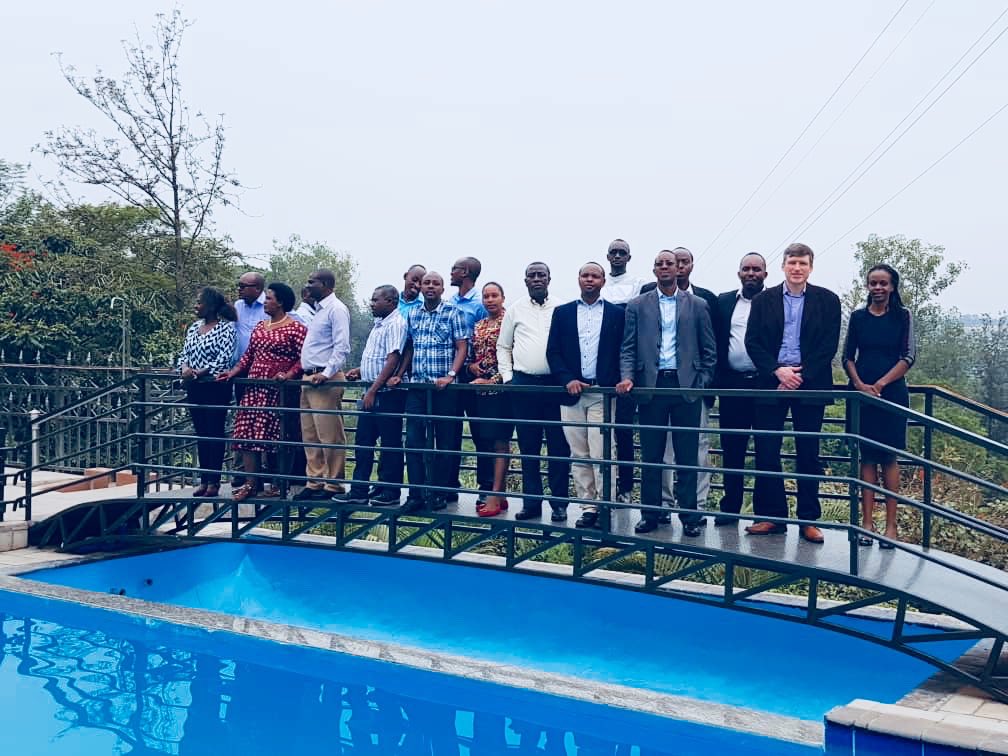
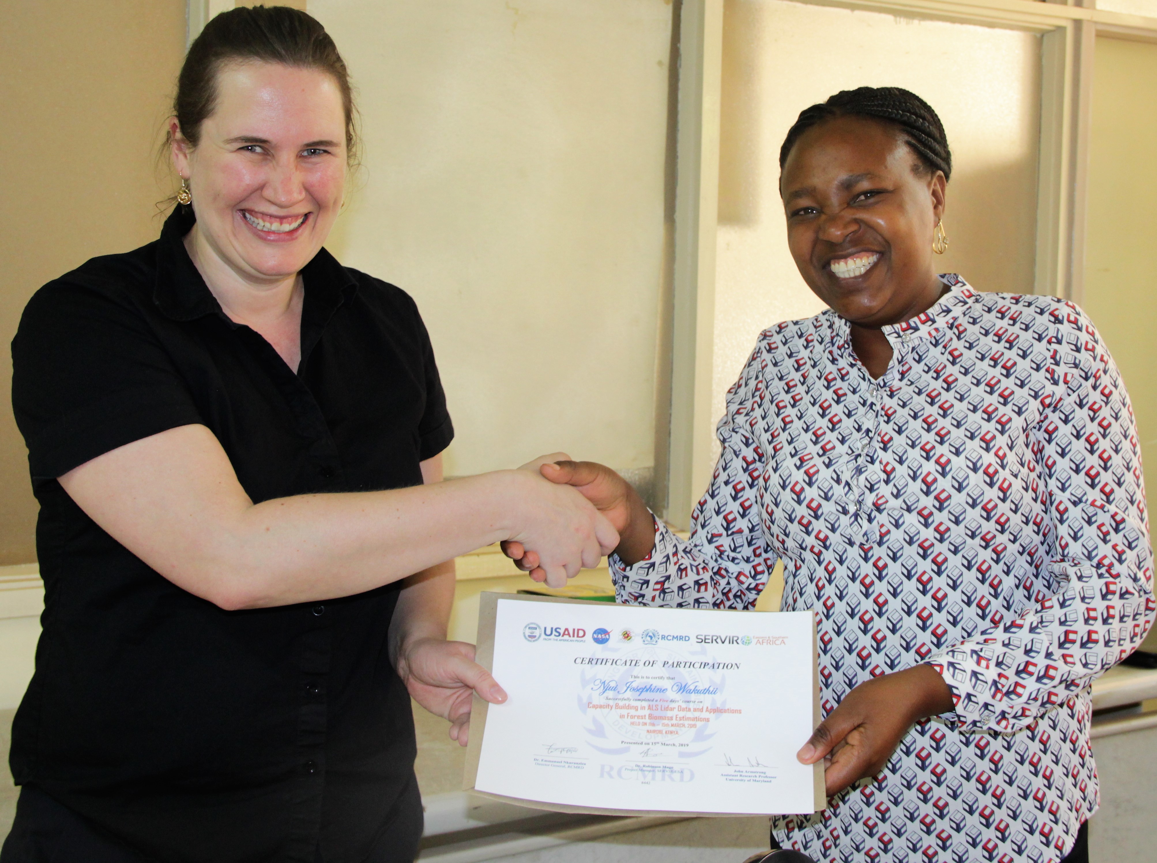
The SERVIR Eastern and Southern Africa (E&SA), in Nairobi, Kenya and the SERVIR-West Africa (WA) in Niamey, Niger, approaches to the Land Use Land Cover (LULC) Mapping services are needs oriented. The hubs have over time received requests from member States to offer capacity building on specific applications of lidar data for tree height mapping and canopy density measurements that are greatly utilized accurate estimations of tree height and biomass.
Light detection and ranging (lidar) mapping is an accepted method of generating precise and directly georeferenced spatial information about the shape and surface characteristics of the Earth. Recent advancements in lidar mapping systems and their enabling technologies allow scientists and mapping professionals to examine natural and built environments across a wide range of scales with greater accuracy, precision, and flexibility than ever before.
The linkage between this capacity building effort and those of SilvaCarbon are also very closely knit. The biomass estimations from SAR data require refinements using lidar data. This capacity enhancement initiative will go a long way in ensuring a more holistic service provision in addressing needs related to forest issues experienced in the countries. For many of the member countries, the capacity gap in working with some of the existing data is one that has not been addressed. Kenya for instance, besides recently procuring a laser scanner, has lidar data covering two of the protected water areas. Additionally, there is a lot more data within the private sector. This is the case for many of the countries within the region. Sporadic point cloud data is available.
Additionally, interests from infrastructure agencies (Roads, Railway, Pipelines, Gas exploration) in working with lidar data for corridor and terrain mapping have been made to Regional Centre for Mapping Resource For Development (RCMRD) several times. Most recently, requests were made from KenHA (Kenya Highways Authority) to be trained by an external consultant. Some of the hub staff had a general knowledge of working with lidar data, but a more comprehensive capacity building effort was required. Specific requests from Kenya included: KFS (Kenya Forest Service), KenHA, KURA (Kenya Urban Roads Authority), Lapsset (Oil Corridor Project). For SERVIR-West Africa, similar requests were made to AGRHYMET by the Kandadji Dam Commission of Niger, which had acquired lidar data for the areas upstream of the Kandadji Dam.
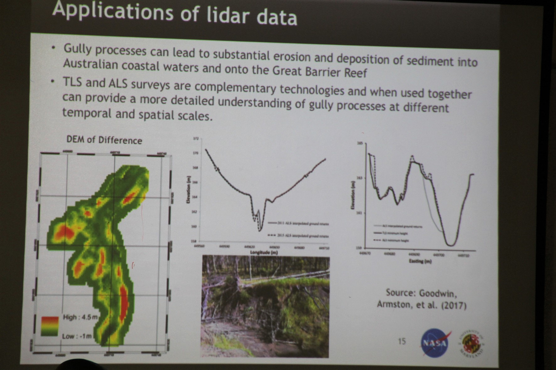
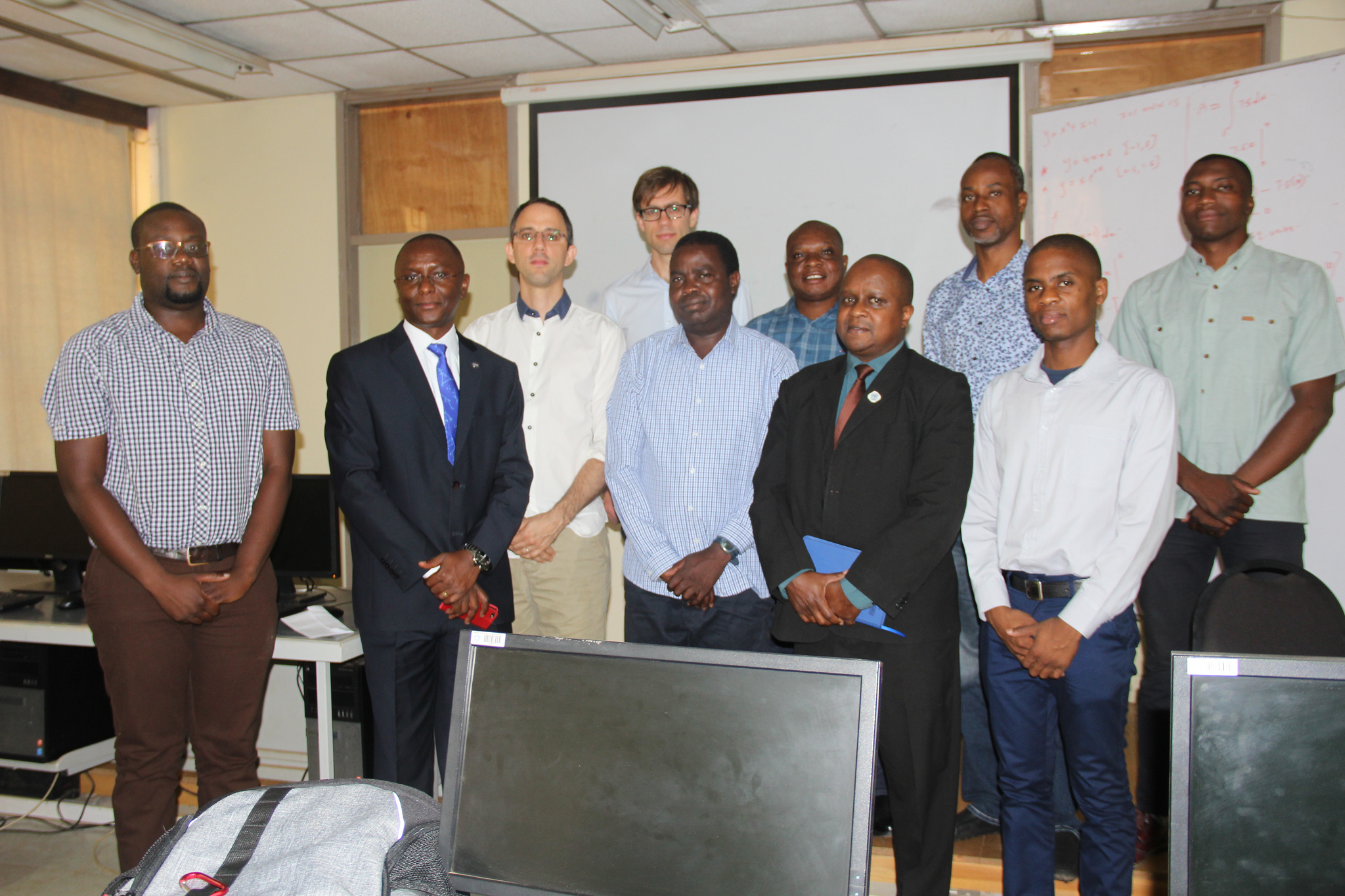
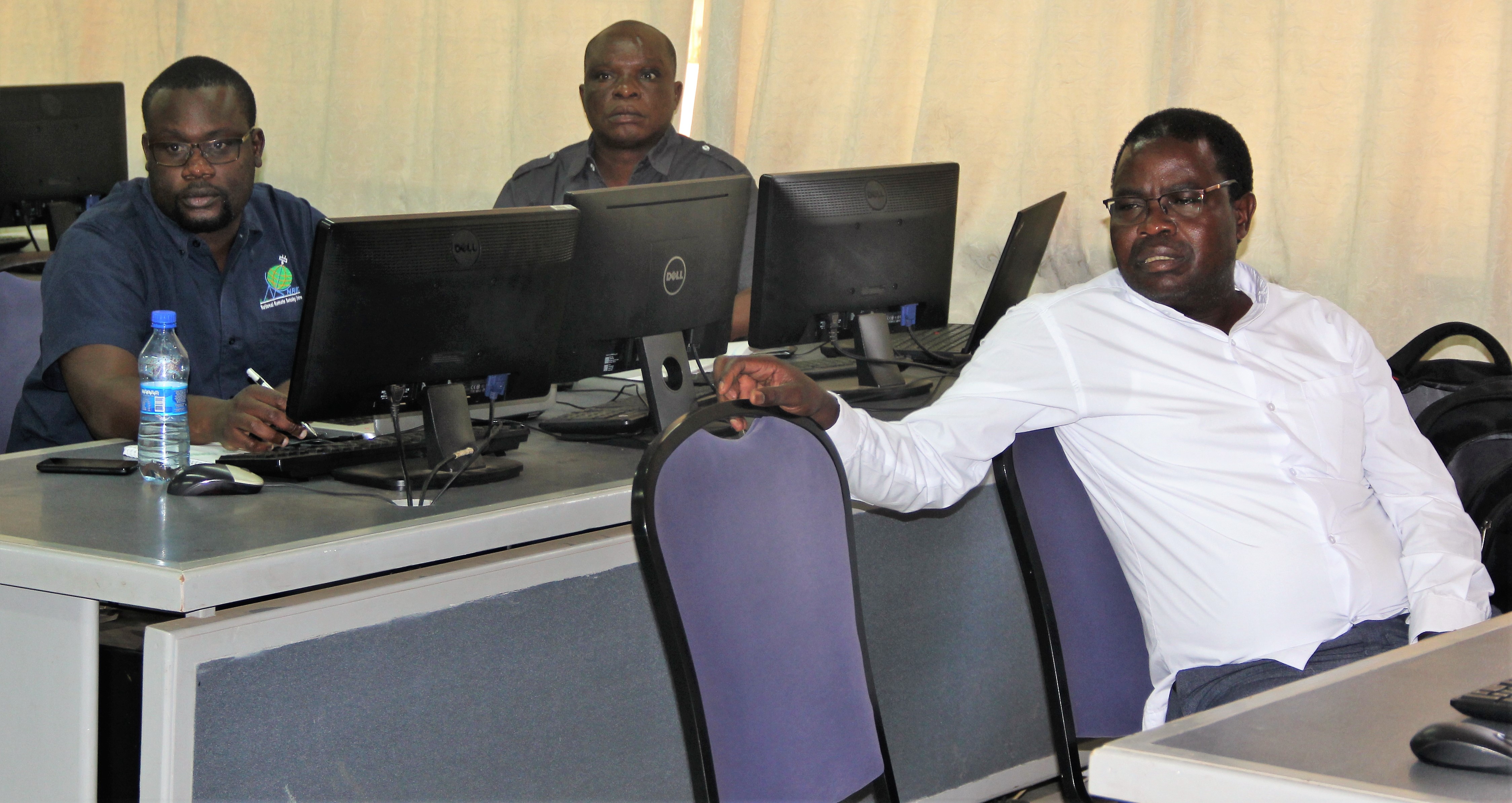
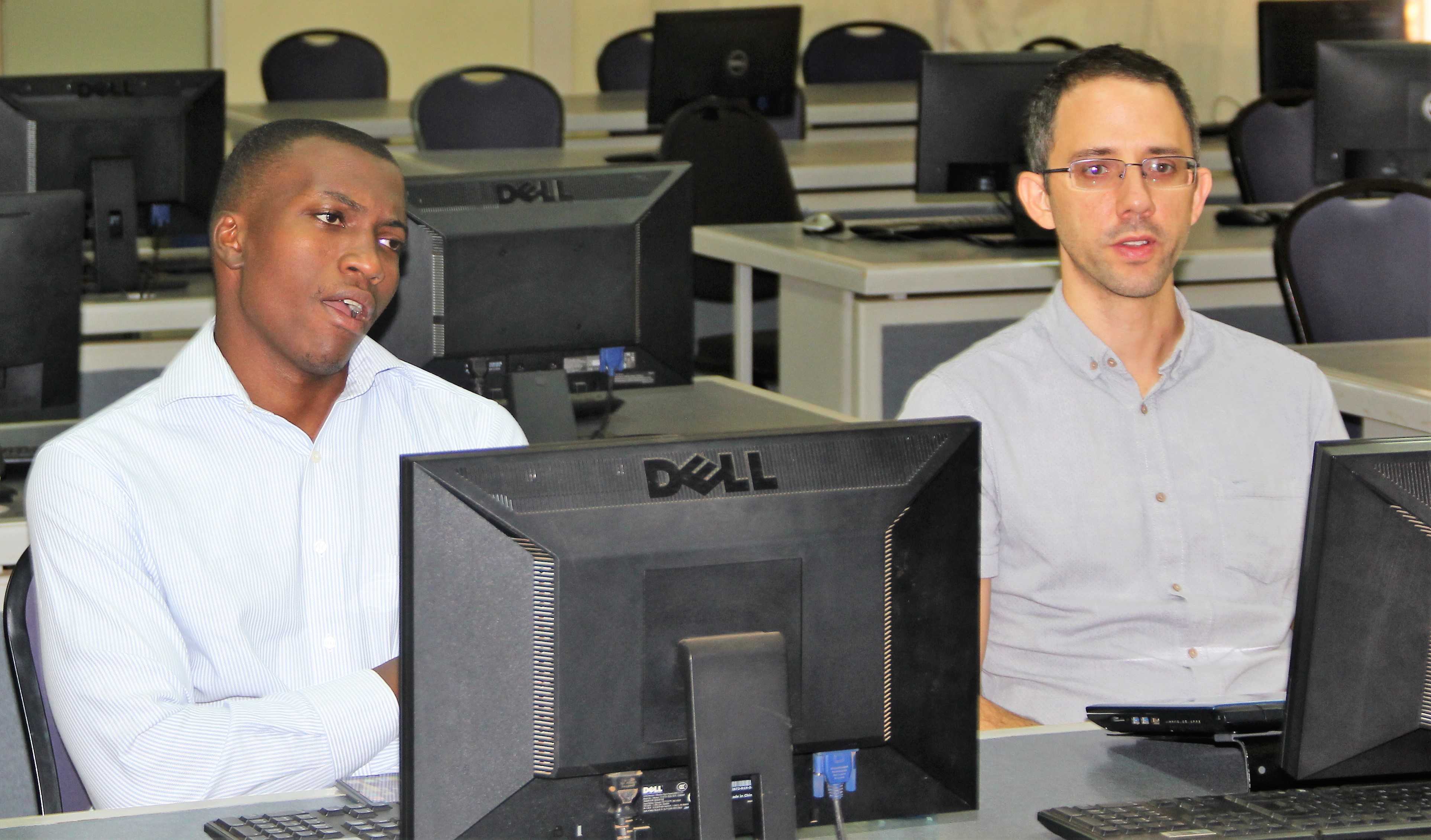
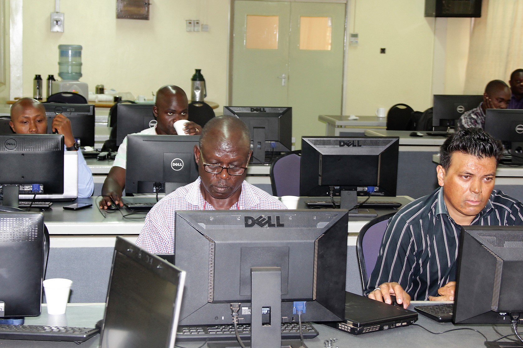
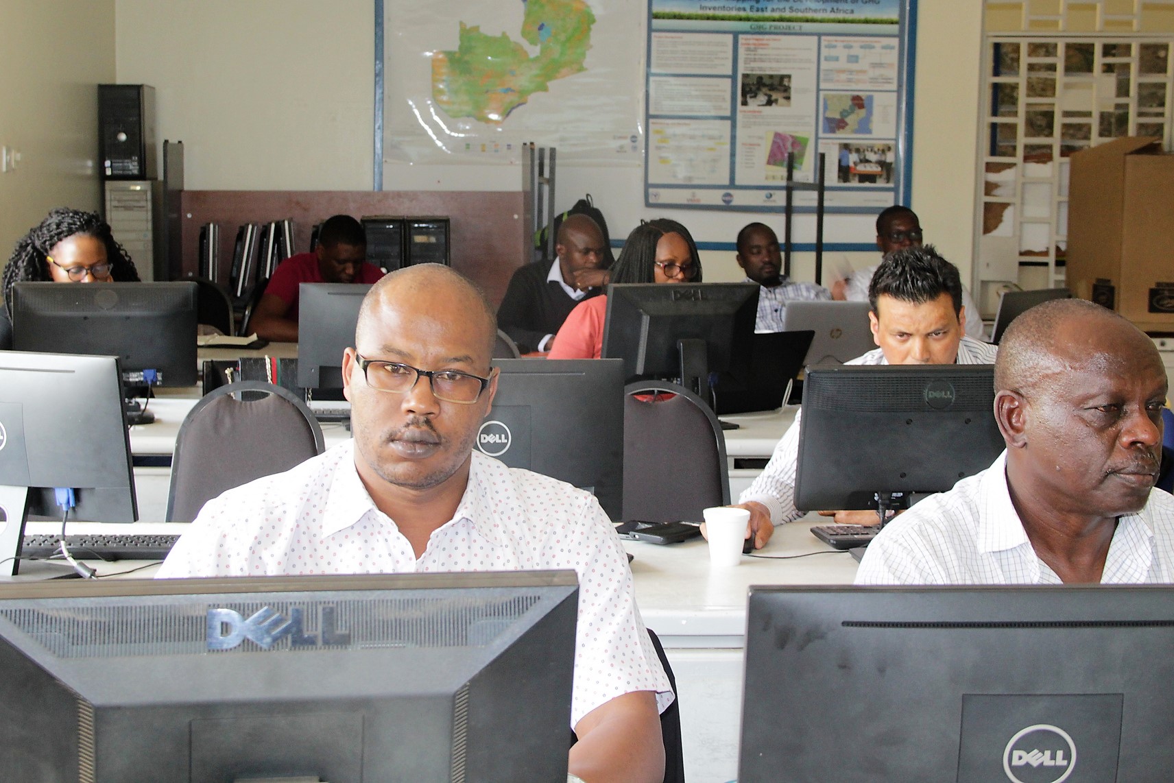
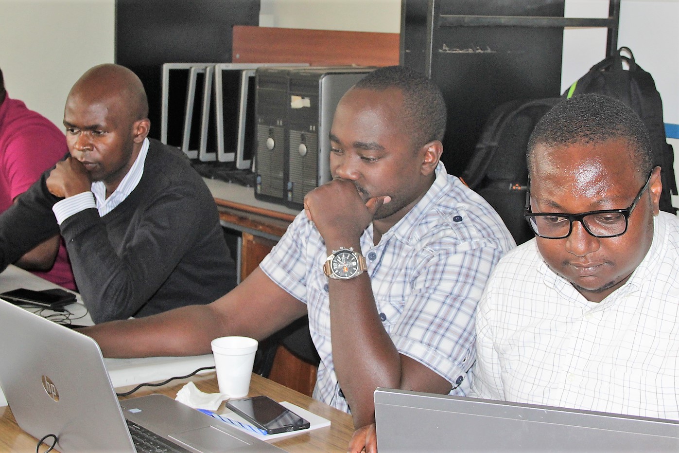
In the workshop, participants discussed several considerations in using airborne laser scanning (ALS) data in forest biomass surveys and how these considerations should factor into the design and implementation of data processing workflows. They were also introduced to upcoming spaceborne lidar mission data products and their potential applications. Pilot activities were done for SERVIR E&SA in Kenya and for SERVIR-West Africa with AGRHYMET in Niger. Training was undertaken in Nairobi, Kenya, and Accra, Ghana, respectively, with the following topics covered: Introduction and background, Principles of lidar remote sensing, Sources of lidar remote sensing data and Introduction to R and Python notebooks as well as QA/QC, basic processing and visualization of airborne laser scanning (ALS) point clouds.
Participants also learnt about Terrain and canopy measurements, ALS point cloud processing workflows, Processing ALS point clouds to images, Digital Elevation Models (DEMs), Canopy Height Models (CHMs), Canopy height and cover metrics and Individual tree segmentation. In addition, they acquired new knowledge on Aboveground biomass modeling including: Biomass allometry and processing of tree survey data, Linking field plots with lidar cover and height metrics, Development and evaluation of regression estimators and Mapping aboveground biomass estimates and their uncertainty and upcoming spaceborne lidar data products and tools from the NASA Global Ecosystem Dynamics Investigation (GEDI) and ICESat-2 missions.
Dr. John Armston and Dr. Laura Duncanson from the University of Maryland were the training's instructors. The training was held at RCMRD premises between March 11 and 15, 2019. Emily Adams the NASA – SERVIR Eastern and Southern Africa Science Coordination Lead also attended the training. Phoebe Oduor and Edward Ouko the Thematic Leads for Land Use Land Cover and Ecosystems at SERVIR E&SA/RCMRD coordinated the training.
The World Bank developed the Satellite Monitoring for Forest Management (SMFM) project to develop satellite Earth Observation (EO) methods and global knowledge to address challenges related to monitoring tropical dry forest ecosystems and forest degradation assessment.
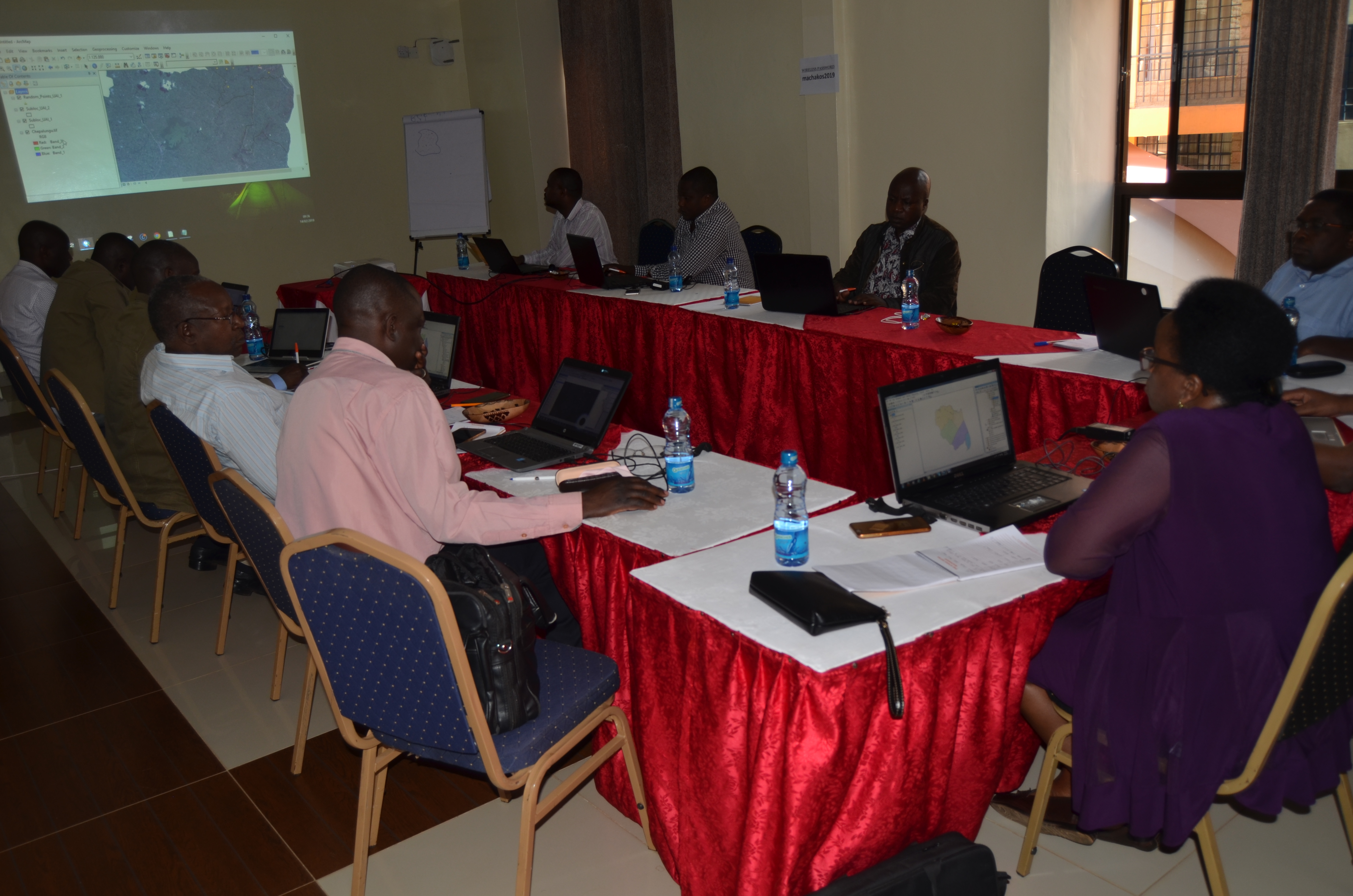
The SMFM project team designed new and enhanced satellite EO methods to address the requirements and gaps in capabilities defined with methods that took advantage of the new technical capabilities provided by the ESA Sentinel satellites, in compliment with other EO data sets. The SMFM workshop was conducted from March 11 to March 15, 2019. The workshop took the form of theoretical instruction and practical computing sessions, followed by work on individual projects.
In attendance were three representatives from each of Mozambique and Zambia, as well as some participants from Kenya. The workshop was coordinated by Prof. Iain Woodhouse and Dr Sam Bowers from The University of Edinburgh.
The objectives of the workshop were: to work with the SMFM tools 1 and 2 to produce prototype forest monitoring approaches at small scales, and introduce SMFM tool 4; to work on individual projects to produce national or sub-national map products using the SMFM tools as well as providing capacity building in techniques for remote sensing of dry forest ecosystems and facilitating south-south knowledge exchange.
The workshop took place at The Regional Centre for Mapping of Resources for Development (RCMRD) in Nairobi and unlike previous SMFM workshops, the emphasis was less about learning new technical skills (such as Python and Linux), and more on generating useful remote sensing products.
The facilitators made time at the workshop for participants to work on building the products, and provided guidance where needed. The workshop coordinators gave a summary of the SMFM tools available at: https://docs.wixstatic.com/ugd/6b4651_93baf6614a2142aba1dd45f9025a0def.pdf. The workshop had participants with a range of experience, including those already working with the SMFM tools and those new to the SMFM project. That meant that sometimes, there were running concurrent sessions. The work done at the workshop was largely self-directed, and accommodated a range of objectives.
The week had two ‘menus’. For those who were new to the SMFM tools and Linux, they recommended menu A, and if they had spent more time with SMFM tools or had experience with the command line, they recommended menu B.
Utilities represent classic geography - how to get things from here to there. While utilities are a diverse group, the basic mission to move resources from source to destination efficiently, safely, and cost effectively stays the same. Whether it's natural gas, electricity, water, steam, telecommunication, fiber optics, or broadband internet each resource has its own unique characteristics that need to be considered.
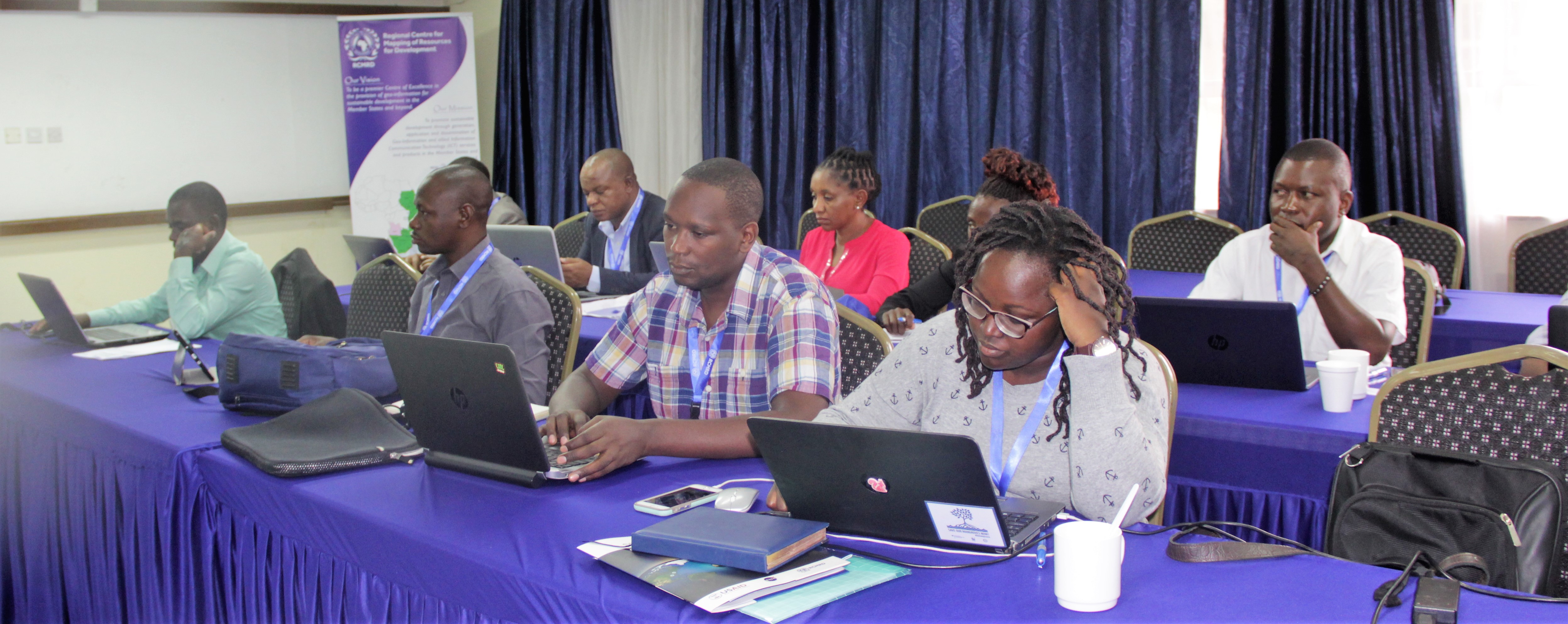
For this reason, Regional Centre for Mapping of Resources for Development (RCMRD) held a two week course for professionals in the energy sector. The course which commenced on March 12 ended on March 22 and had 20 participants. They were drawn from across the energy corporations in Kenya including Kenya Power and Lightning Company (KPLC), Energy Regulatory Commission (ERC), Geothermal Development Company, Kenya Electricity Generating Company (KenGen) and the Ministry of Energy.
During the first week, the training conducted by Mr. Leonard Sweta, RCMRD's Geo-Information Training Coordinator & Principal Trainer instilled knowledge on the basics of Geographical Information System(GIS), such as database development of consumer base, map production, and dissemination, working with google earth in planning of wayleaves and rural population density verification for connectivity, mapping representation of electric corridors, population densities, and rural road networks and wayleaves.
In the second week, participants were equipped with knowledge on applied GIS connectivity and power supplies, which involved analyzing radius served by grid lines, monitoring and evaluation of existing and newly installed grids and transformers, determining the population served by transformers installed and risks to connections or connectivity grids.
GIS allows for creating, and querying of electrical database to generate information, with an added advantage of analyzing spatial data. Through this training, the participants applied hands on experience to reinforce the training. The utility sector, which is rapidly growing and the nerve center of basic infrastructure is one of the areas that GIS software is used. GIS has become a crucial planning, management, and implementation tool for industries such and Transportation, and energy.
The quality geospatial mapping and GIS can play a critical role in planning, installation, maintenance and workflow monitoring of these diverse utility sources creating a foundation of awareness supporting effective decision-making, preventative maintenance and cost-effective management practices. Staff from Kenya's Ministry of Energy were trained in the application of GIS Utilities mapping at RCMRD and like most planning efforts, building and installing utility infrastructure is not simply a technical process but requires continous training.
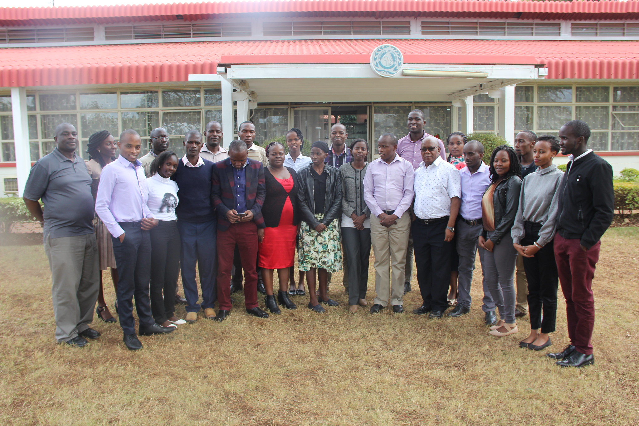
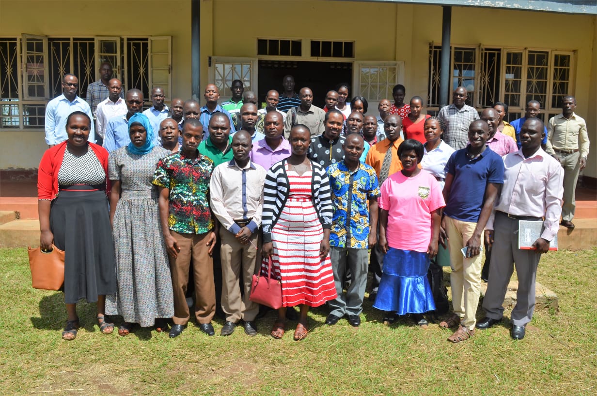
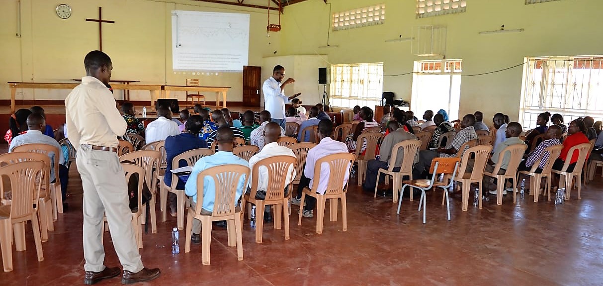
Kenyan teachers were oriented ahead of the Kenyan chapter of the RCMRD Space Challenge 2019. The Challenge leverages on a partnership between RCMRD and the GLOBE program in Kenya, an initiative that provides students with an opportunity to participate in data collection and learn basic scientific processes.
60 teachers from both Primary and Secondary schools attended a three day orientation at our premises on implementing the Space Challenge this year. The schools are: Juja Prep & Senior Schools, Ortum Boys School, St. Scholastica Catholic, SFS Intergrated Primary, Holy-Cross Sec.Kacheliba, Kitololoni Primary, Manyati Primary, Maranda High School, Bushiangala Sec, Maseno School, Mpesa Foundation Academy, ACK Manyati Primary, Ng'iya Mixed Primary, Nyandarua High School, Teremi High School, Keringet Sec. School, Homa Bay Boys, Kamketo Girls Sec, Ortum Boys School, Ortum Girls School, St. Elizabeth Girls, Magomano Girls, Mukumu Girls, St. Georges Primary, Moi Forces Academy, Sirua Aulo H. School, Shree Swaminaraya Academy, Holy Cross Mix, St. Johns Sirende, Kamketo Sec., S. S. Academy, Bushiangala Sec., St. Elizabeth Morpus,Ortum Boys School, Queen Esther School, Visa Oshwal Primary, Mwiki Goodhope School, Mpesa Foundation Academy and St. Scholastica Catholic. Consequently, several primary and secondary school teachers attended a three day orientation on implementing the RCMRD Space Challenge. The teachers drawn from 60 schools including Mangu High School; Moi Forces Academy in Nairobi, Homabay High School; Thome Boys Secondary School and St. Scholastica Catholic School participated in the training. The space challenge is part of RCMRD’s strategy on engaging the youth within its 20 member States. RCMRD in partnership with GLOBE program through the Kenya Space Agency launched the final edition of a three year program dubbed RCMD space challenge under the theme of land degradation and climate change.
This entails organisation of inception workshops to equip the science and geography teachers from various schools with necessary skills in training their students on weather trends and various weather parameters associations. In the first year (2017), students were required to compute trends in humidity, temperature and rainfall in various zones (the data to be provided by GLOBE and Trans-African Hydro-Meteorological Observatory (TAHMO) and determine weather change drivers (similarities and difference) in various zones. They were also required to mention the link between the weather parameters.
This year, students were required to determine relationships between weather parameters(temperature, precipitation, humidity), NDVI (MODIS) and Malaria occurrence in Homa Bay County. This focuses on food security and health pillars by the Kenyan government. There were limitations in terms of spatial coverage/data capture boundaries and resolutions of the data provided but they could plot the data and have fun. The weather data was sourced from the Automatic Weather stations - same as the one installed at RCMRD close to MODIS receiver, NDVI from MODIS and Malaria Data from Ministry of Health in Kenya).
Monitoring, Evaluation and Learning (MEL) Workshop for RCMRD Staff
Objectives
• Discuss MEL in the context of RCMRD products and services
• Understand why and how we collect useful data for measuring progress and systematic learning;
• Improve current MEL Plans and ensure better alignment of these plans with work plans, design of services, and Theories of Change;
• Ensure consistent use of standard methods and approaches for conducting data quality assessments (DQA);
• Review current MEL tools for RCMRD products and services
• Increase capacity of RCMRD staff to apply these learned concepts in their work.

RCMRD in partnership with the the SERVIR Support Team convened a grant kick-off meeting on Wednesday, 24th April 2019 to Friday 26th April at RCMRD premises in Nairobi. SERVIR-E&SA one of five international hubs under a joint NASA/USAID project called SERVIR awarded grants to nine organizations in the East African region. These grants, administered under SERVIR-Eastern and Southern Africa's small grants program, promote use of information provided by Earth observing satellites and geospatial technologies to support informed environmental decision making in the Eastern and Southern Africa region.

The meeting which brought together partners who will benefit from the grant funding and take lead in implementation of the key components of the SERVIR funding, sought to sensitize the members and harness input from them on how best to implement the programme.
During the three day workshop, SERVIR-E&SA personnel led by Prof. John Kiema the Director of Technical Services the kick-off workshop for nine grantee organizations selected under the SERVIR-E&SA Grants Program at the Regional Centre for Mapping of Resources for Development (RCMRD), Kenya. The purpose of the event was to define roles and responsibilities, outline grant activities, and provide opportunities for the grantees to interact in person with SERVIR-E&SA staff. Another aim was to enhance networking among organizations, universities, and institutions in these regional endeavors.
The grantees were selected through a rigorous two-stage application process under two solicitations: one focused on research activities within the four SERVIR service areas (land cover/land use & ecosystems, water resources & disasters, food security, and weather & climate), and the other focused on exploring the intersection of gender and geospatial technology in relation to improving environmental management and resilience to climate change in the Eastern and Southern Africa Region. Applications were solicited from organizations in Kenya, Tanzania, Rwanda and Uganda.
The grantees are: 1. E-Link Consult Ltd; 2. Kenya Meteorological Society; 3. CORDIO East Africa; 4. Laikipia Wildlife Forum; 5. Rwanda Water and Forest Authority; 6. Wetlands International Kenya; 7. Ardhi University and 8. National Fisheries Resources Research Institute (NaFIRRI). Each presentation was followed by a short Q&A session. The meeting also created an opportunity for grantees to build a collective vision and network. This grants program is managed as a partnership between the SERVIR-E&SA Hub based in Nairobi, Kenya, and the SERVIR Support Team based in Washington, DC, USA.

The grants are awarded through a Grants Under Contract (GUC) component under the SERVIR Support contract, and payments are administered by the SERVIR Support team. The SERVIR-E&SA team plays a critical role in each stage of the grants program, including providing technical feedback during the selection process, providing technical support to the grantees (both on science, and cross-cutting issues such as user engagement, monitoring & evaluation, communication, logistics, and gender mainstreaming), and providing technical approval for deliverables.
Lecturers at the Regional Training Centre Institute (RCTI) recently undertook a Competency Based Education and Training Courses – CBET course. The training was administered by the Technical and Vocational Education and Training (TVET) Curriculum Development Assessment and Certification Council (TVET CDACC). The workshop aimed to provide support for the ongoing competency-based curriculum reform on teacher education of the Kenyan government. It focused on deepening the understanding of teacher educators on competency-based curriculum, pedagogy, instructional strategies and assessment, high quality rubric design, the teacher professional development policy framework and the Kenya Professional Teaching Standards.
The four-day workshop used the cooperative learning base group approach, where participants worked in small groups to encourage group activities and discussions, reflection, feedback, peer review activities and presentations. The workshop covered learner-centered instructional strategies and assessment practices, such as multiple intelligences, a method that teachers can use to evaluate their own as well as learner’s learning styles to understand how to approach learners in a learner-centered manner.
Kenya has developed seven basic education core competencies that all students are required to have. These competencies include: (1) communication and collaboration, (2) critical thinking and problem solving, (3) imagination and creativity, (4) citizenship, (5) digital literacy, (6) learning to learn and (7) self-efficacy. The competencies progress as students move up through grade levels. Therefore, the participants developed competency descriptors and indicators across several grade levels for specific learning outcomes.
At the end of the training, all teachers are expected to acquire the knowledge, skills, and attitudes necessary for effective implementation of CBC, apply innovative pedagogical approaches and models, demonstrate competencies in assessment and be self- reflective, self-improving and supportive learners themselves. The Competency-Based Curriculum for early years education was rolled out in pre-primary 1 and 2, and grades 1,2 and 3 across Kenya early in January 2019.
The Synthetic Aperture Radar (SAR) Handbook , a Comprehensive Methodologies for Forest Monitoring and Biomass Estimation was released during the GFOI Plenary 2019 will be held in Maputo, Mozambique between April 8 and 11 April 2019. This Handbook contains a collection of state-of-the-art methods and theoretical background to facilitate the use of SAR data for forest monitoring and biomass estimation. The SAR Handbook was edited by Africa I. Flores-Anderson, Kelsey E. Herndon, Rajesh B. Thapa, and Emil Cherrington.

Chapters were authored by SAR experts Franz Meyer, Josef Kellndorfer, Paul Siqueira, Sassan Saatchi, Marc Simard, and Hans Andersen. SERVIR hub point-of-contacts contributed greatly to the international trainings and material development, especially Phoebe Oduor (RCMRD/SERVIR-Eastern & Southern Africa), Bako Mamane (AGRHYMET/SERVIR-West Africa), Rajesh Thapa (ICIMOD/SERVIR-Hindu Kush-Himalaya) and Nguyen Hanh Quyen (ADPC/SERVIR-Mekong). The objective of the Global Forest Observations Initiative (GFOI) is an informal partnership to coordinate international support to developing countries on forest monitoring and Measurement, Reporting and Verification (MRV) of greenhouse gas (GHG) mitigation procedures for REDD+ and related activities. Through collaborative action, GFOI aims to provide a larger and more targeted package of support than any one partner can provide alone.

The Plenary included an open forum, component meetings, exhibitions and much more. RCMRD/SERVIR-Eastern & Southern Africa's Phoebe Oduor and Lawrence Okello participated in the the GFOI Plenary 2019. SERVIR works in partnership with leading regional organizations around the globe to provide satellite-based earth observation data and science applications to improve environmental management and resilience to the impacts of climate change by developing the capacity of government agencies, institutions, and other key stakeholders to use and integrate geospatial information and technology into their decision-making processes. SERVIR has been partnering with SilvaCarbon initiatives and the Global Forest Observations Initiative (GFOI) to leverage its capacity building efforts.

GFOI has been established as an international partnership on forest monitoring, and measurement, reporting and verification (MRV) issues for REDD+. GFOI brings together a community of international experts, donors, and specialist organizations, and provides a forum for them to consolidate their considerable resources into a more holistic and specialized package of support for REDD+ countries. GFOI is currently conducting a series of train the trainer workshops with a range of REDD+ related guidance and training material with the aim of enabling participants to further disseminate the knowledge and insights gained to and train other relevant people who are involved in REDD+ monitoring and reporting in their country, in order to further build their capacities.
African development experts and institutions will today end a five-day meeting in the Senegalese capital, Dakar, that weaved together strategies and mechanisms of delivering on the services they are mandated to provide under the banner of the Global Monitoring for Environment and Security and Africa and Africa). A joint initiative of the African Union Commission and the European Commission, GMES and Africa aims to address the growing needs of African countries to access and use Earth Observation (EO) data for the implementation of sustainable development policies, management of the environment and natural resources, as well as monitoring of humanitarian operations in Africa.
The GMES and Africa Coordinator, who is also the African Union Commission’s Space Science Expert, Dr. Tidiane Ouattara, describes the meeting as an opportunity for the participants from different thematic backgrounds to share experience and forge ideas on the design and development of Water and Natural Resources services. “It enables them to plan together training and capacity development activities, and drive the operationalization of ICT tools and digital platforms created to facilitate seamless communication among stakeholders”, he observes. Some of the institutions and experts under the GMES and Africa banner have extensive and cross-cutting experience in service delivery on the programme’s four thematic pillars and will use the Dakar convergence to impart best practice ideas and models to their peers.
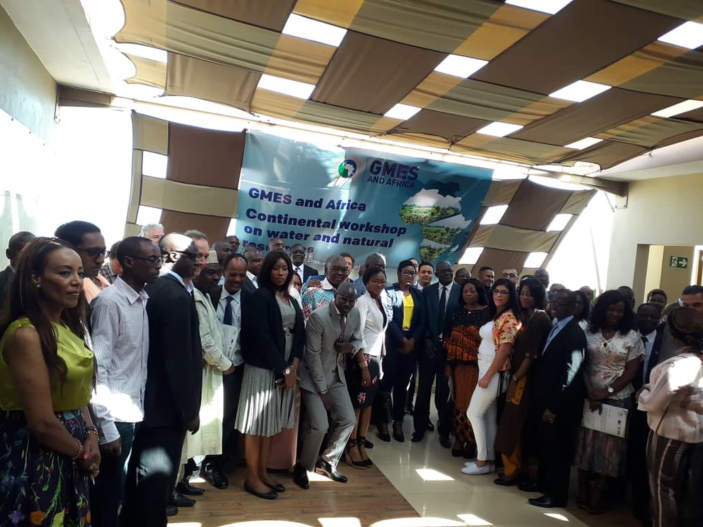
GMES and Africa is built on aspirations of the African Agenda 2063, which craves for a prosperous, peaceful and integrated Africa, and for a robust and responsive African outer space programme. It focuses on thematic areas reflecting Africa’s developmental priorities, including Water and Natural Resources, and is implemented through consortia of regional and national institutions across the continent. The Dakar meeting, which will also be attended by officials from the AU’s Regional Economic Communities and organizations, and from European technical institutions, is a platform to discuss and provide solutions to the implementation of the four pillars of GMES and Africa, including Infrastructure and Data, Products and Services, Training and Capacity Development, as well as Outreach, Awareness and Engagement.
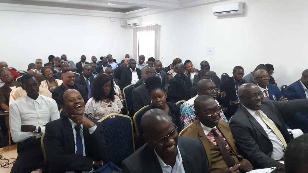
Part of the RCMRD-GMES team attended the five-day meeting in the Senegalese capital, Dakar, to weave together strategies and mechanisms of delivering on the services they are mandated to provide under the banner of the Global Monitoring for Environment and Security and Africa (GMES and Africa). The Centre is implementing three applications i.e. Land Degradation Monitoring & Assessment, Wetlands Monitoring & Assessment and Open Geographical Regional Reference Vector Database for water and & agro-ecological zoning. As a RIC, three main partners will help with the implementation of the RCMRD project . They are Rwanda Water and Forestry Authority (RWFA), Ethiopian Geo-Spatial Information Agency (EGIA) and Makerere University.
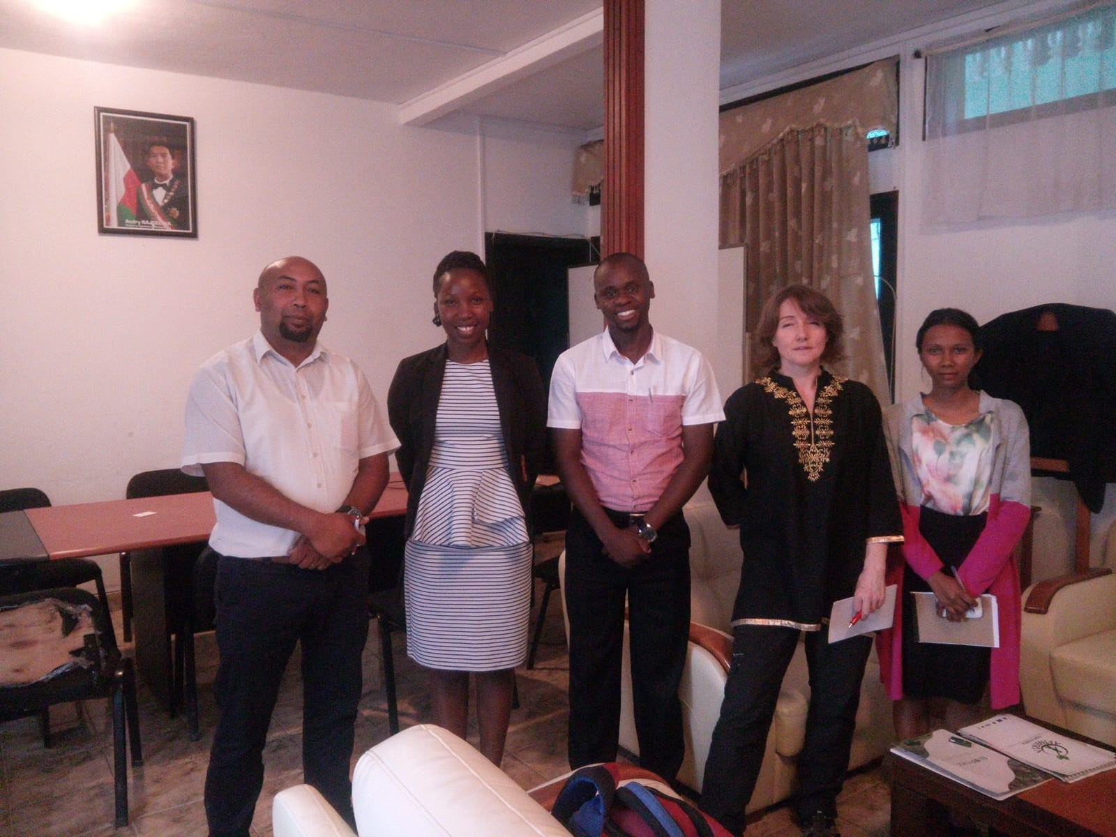
BIOPAMA team together with the Director General in the Ministry of Environment and Forestry (DGEF) Dr, Herizo Rakotovololonalimanana, on the far left.
RCMRD together the International Union for Conservation of Nature (IUCN) and the Joint Research Centre of the European Commission (JRC) are visiting Antananarivo, Madagascar this week for a data gathering and networking exercise to us understand the priorities of Madagascar in terms of Protected Areas management, governance and equity under the BIOPAMA project. Key goals for BIOPAMA include getting high-quality conservation-relevant information to policy and decision makers in forms they can use, and supporting communities of best practice.
Purpose of the Pilot Visit
Madagascar in one of the three pilot countries that will be visited these year. The other two being Botswana and Tanzania. The aims of these visits are listed below:
1) Identifying needs and get country inputs on the Regional Resources Hub (RRH) and Regional Reference Information System (RRIS)
2) Demonstrating the functionalities of the RIS and establish a workflow of feeding data into the RRIS
3) Provide guidance to software/GIS/ Tool development in line with the country needs and priorities
4) Conducting a data audit to identifying key information and data available around the area of management effectiveness and governance and equity that could be linked into the RRH and the State of Protected Area (SoPA) report.
5) Collecting data and information for the SoPA and the RRH
6) Expand the RRH network in the region and build a useful resource for policy development and decision-making.
More information about BIOPAMA programme can be accessed here https://rcmrd.org/projects/biopama
About Madagascar
Fact Sheet
• Capital: Antananarivo
• Population: 25 million
• Area: 587,041 sq km (226,658 sq miles)
• Major languages: Malagasy (official), French
• Major religions: Indigenous beliefs, Christianity
• Life expectancy: 64 years (men), 67 years (women)
Source UN, World Bank
Country Profile
Madagascar is the world’s fourth largest island. It’s situated off the southeast coast of Africa, Having developed in isolation, the island nation is famed for its unique wildlife. It is home to unique flora and fauna and has good soil and abundant natural resources.
Madagascar is among the countries hardest hit by global climate change. It is particularly affected by frequent cyclones and periodic drought, which damage infrastructure and, increasingly, destroy harvests. Uncontrolled expansion of agriculture and forestry poses a growing threat to woodlands, soils and biodiversity. Madagascar is one of the non-contracting member states at RCMRD.
Teachers from 34 schools participated in the orientation ahead of the Uganda Space Challenge scheduled for October this year. The orientation took place at Wanyange Girls in Jinja, Uganda. This is the second year in which RCMRD through the SERVIR-ESA project is organizing the RCMRD Space Challenge in Uganda.
It is held as a way of giving back to society. SERVIR -ESA introduced the activity dubbed RCMRD Space Challenge targeting primary and secondary schools to enlighten and equip children in RCMRD member States on some of the causes and drivers of climate change. The RCMRD space challenge is meant to equip students from high schools in Uganda and other RCMRD member States with necessary skills related to climate change and its drivers.
The challenge helps in building resilience to climate change among the youthful generation in the society and also influences behavior change in regards to climate related issues.This platform also encourages exchange of climatic data and partnerships between likeminded institutions like GLOBE and TAHMO for sustainability purposes.
The Uganda Space Challenge leverages on a partnership between RCMRD, TAHMO, GLOBE Program [Uganda] an Environmental Education program which provides students with practical skills in environmental study, data collection and analysis), Makerere University, Akorion, Ministry of Lands, Housing and Urban Development, and the Ministry of Education and Sports Uganda. This year, RCMRD added Linking weather parameters to land cover changes. RCMRD intends to replicate the challenge across the member States.
On May 18, 2019, RCMRD hosted the Hon. Kefentse C. Mzwinila who is the chairperson RCMRD's Conference of Ministers (CoM) and the Minister of Land Management, Water and Sanitation Services, Republic of Botswana.
In his maiden familiarisation tour of RCMRD, the chair sent an advance team that included Ms. Elizabeth Bonolo Khumotaka, Chairperson RCMRD Governing Council, and Permanent Secretary, Ministry of Land Management, Water and Sanitation Services in Botswana, Mr. Tshepo Mophuting, Deputy Permanent Secretary, Ministry of Land Management, Water and Sanitation Services and Mr. Tshiamiso Oitsile, Director of Surveys and Mapping and member of the RCMRD Governing Council Technical Committee.

The GC Chairperson briefed the meeting about their entire visit and lessons learnt on the previous day before handing over to Hon. Mzwinila, Chairperson CoM, who briefed the meeting that it was a learning event to understand the Centre’s activities. The Minister requested the Director General RCMRD Dr. Emmanuel Nkurunziza to apprise him on the procedure of recruiting new member States, the current position and what his office could do to attract more States to join RCMRD. Dr. Nkurunziza explained that there were different approaches depending on the country. He noted, " there is always involvement of Foreign Affairs Ministries with support of the Chairpersons of CoM and GC. However, DG continued, the main challenge is when the Chairpersons of CoM and GC have the left the office without briefing the incoming chairperson." Hon. Mzwinila directed that RCMRD needs to target countries that are more likely to honor their annual commitments.
Mr. Joseph Murage the Monitoring and Evaluation Specialist presented the Strategic Plan 2019-2022 highlighting the key lessons learnt during the 2014 to 2018 strategic plan, the revised Vision and Mission, the strategic interventions and the key year 2019 work plan achievements for Quarter 1. This was followed by a presentation from Mr. Vincent Mtarooni the Principal GIS & Cartographic Officer on the Centre activities, initiatives and projects for member States and specifically for Botswana. He featured the geographical coverage, governance structure and the RCMRD Profile as well as products and services, thematic areas, capacity building, project Implementation including BIOPAMA, the census cartographic mapping, monitoring wildlife corridors, AFREF (African Geodetic Reference Frame) and the role of RCMRD as a National Spatial Data Infrastructure (NSDI) facilitator.
The Minister was given a tour of the Centre, where he interacted with the staff and witnessed the different activities taking place. He was particularly interested in knowing the number of member States with Satellites. To this, the DG Dr. Nkurunziza and Prof. John Kiema the Director of Technical Services said countries that have launched small satellite cubes included; South Africa and Kenya. They added that Rwanda had started using Drones. The CoM chair noted that it would be economical for countries to have shared Satellites, although he pointed out that it would be a lenghty process.
The Minister discussed with the management of RCMRD the progress of the implementation of the Strategic Plan, and in particular, resource mobilization for infrastructural development of conference and hotel facilities at RCMRD after reviewing the RCMRD master plan of the new complex displayed outside the DG's office.
The CoM Chair further discussed the issue of national spatial plans. He wanted to know how many member States have spatial plans and how they are using them to link that with development, economic, political and social planning. The management informed him that Kenya and Rwanda have Spatial Development Plans. The Hon. Minister noted that Botswana recently developed one with support of some Danish Consultants. He said after development of the Spatial Plan, there was an opportunity the Centre could explore developing National Economic Development Plan. Hon. Mzwinila further requested the Centre to identify opportunities to show case their technical expertise that included broad key areas such as development of spatial plans.
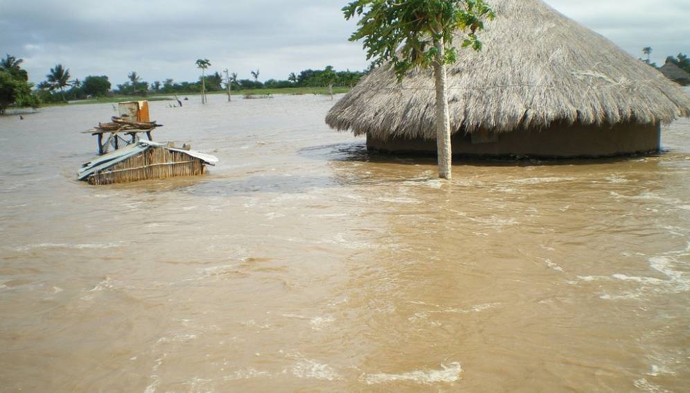
The Minister also asked if the Centre had the capacity to address water and related disasters such as the ones that occurred in Mozambique, Malawi and Zimbabwe. To this Prof. Kiema responded that the Centre had the capacity to address such disasters. He cited the SERVIR project models of flood warning that included CREST and Flash Flood Forecasting (EF5) that had been developed. Mr. James Mumina additionally said the Centre could partner with disaster management institutions such as the Kenya Red Cross and compliment their efforts.
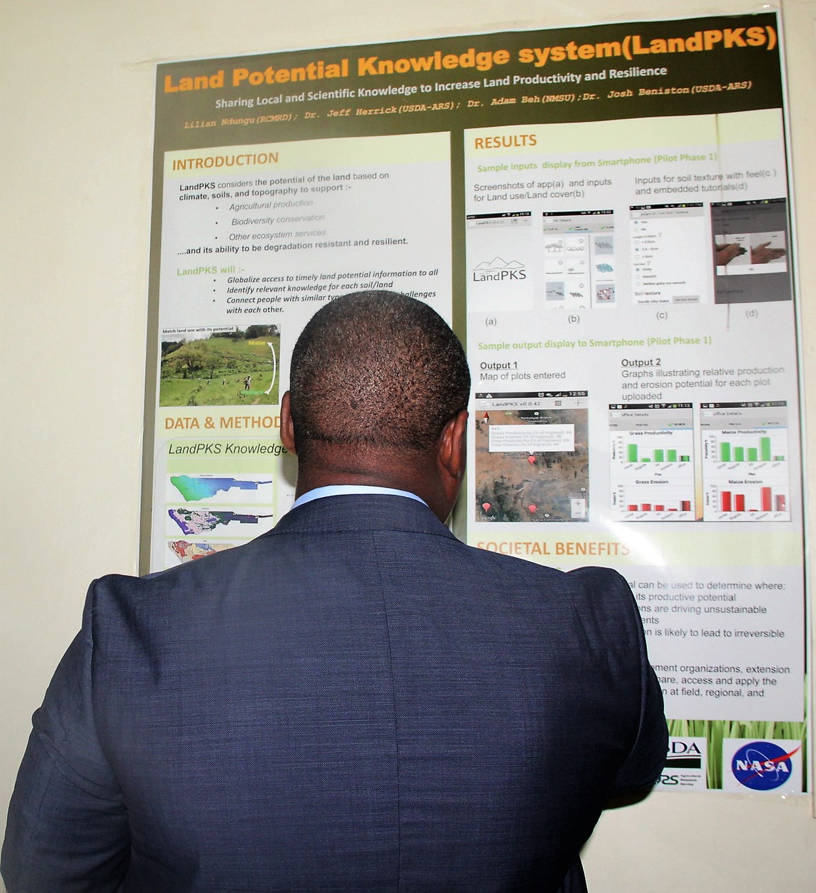
In the tour of the SERVIR Eastern and Southern Africa (SERVIR-ESA) project lab, Mr. James Wanjohi a Technician on the project explained about the thematic areas: Agriculture &Food Security, Land Cover & Land Use Change and Ecosystems, Water and Water Related Disasters and Weather and Climate. The Hon. Minister was impressed with Land Potential Knowledge System and asked whether it could be replicated in Botswana, how long it would take for it to be implemented in Botswana and what is would cost. Prof Kiema and Mr. Wanjohi responded that the system was free but there were associated costs on training and project implementation. It was agreed that RCMRD would submit a concept note detailing the requirements and budget.
At the conclusion of their tour, the Hon. chairpersons assured the staff of their continued support to the Governing Council that will meet In November at RCMRD and to the Conference of Ministers to enable RCMRD achieve its mission and strategic plan.
Mr. Mathias Bazirinkangu Kabunduguru, the Deputy Permanent Secretary in the Ministry of Lands, Housing and Human Settlements Developmentin Tanzania visited RCMRD on May 22, 2019. The Deputy PS was accompanied by Ms. Elizabeth Mrema an Assistant Director, Department of Lands MLHHSD, Tanzania. The Deputy Principal Secretary chaired a technical session where briefing was done on the background of the RCMRD, operations and activities of the various sections and activities that RCMRD has executed in Tanzania. He was updated on the establishment of RCMRD in 1975 as Centre of Excellence on Geo-Information and ICT by the African Union (AU) and United Nations Economic Commission for Africa (UNECA) and that presently there are 20 contracting member Countries in Eastern and Southern Africa Region.
Mr. Vincent Mtaroni the Principal GIS & Cartographic Officer (Ag. Director Technical Services) in his presentation showcased the RCMRD service profile describing it as Capacity Development, Project implementation, Advisory Services, research development and innovation, repair service and calibration of mapping equipment and data/information dissemination. He also listed the RCMRD thematic areas as Agriculture & Food Security; Weather and Climate Change Modelling/Analysis, Water Resources Management; DRR, Land Resources Management; Land Administration/Management and Knowledge Management.
He said capacity building in various areas of our expertise were Academic (fundamental /basic), Applied and Tailor made. RCTI was mentioned as special vehicle to supplement member State contributions and carried out certificates/diplomas in Land surveying, photogrammetry, GIS and IT. Other ongoing initiatives which are being carried out included: AFREF (https://www.rcmrd.org/apps-data/afref-and-geodesy),SERVIR-ESA (https://www.rcmrd.org/projects/servir-esa), NELGA (https://www.rcmrd.org/projects/nelga-land-web-portal-data-repository) BIOPAMA (https://www.rcmrd.org/projects/biopama) AfriGEO (http://www.earthobservations.org/afrigeoss.php). The DPS made recommendation that courses conducted should be tailor made taking cognisance of the capacities of targeted staff. This should be clear in invitation letters. He also advised RCMRD to continue striving to be a centre of excellence and partner even with the private sector to be in better position to support member States.
Through the Lands Department RCMRD was asked to support/sensitize member States on the procurement function with the ministry to make technical decisions with regard to equipment/hardware/software acquisition. It was agreed that RCMRD should purpose to carry out needs assessment to identify gaps/wants of the ministry as well as departments within the ministry such as lands and planning and thus develop programmes to address these gaps. This should have internal introspection (Where are they?, what do they need? ) with main target as Mapping, Surveys and town planning department.
The technical session was followed by a tour of project rooms, laboratories and premises including the construction site. The DPS was shown how the photogrammetry lab functions. 
The DPS indicated his willingness to support initiatives geared to increasing the visibility of RCMRD in Tanzania across the thematic areas described. He also informed RCMRD's Management on the high-level government forum which happens weekly for PS & DPS executives chaired by the Chief Secretary. RCMRD Director General Dr. Emmanuel Nkurunziza and the Management team at RCMRD were invited to make presentation in Quarter 3 of 2019 on te following proposals to support Tanzania: Census Cartography Mapping, Crime Assessment & Geo-Policing, Health Availability Mapping, Upgrading Photogrammetry services of the Lands Department, Development of Web mapping portals and data/dissemination services, design testing and development of Land Management Systems.
It was agreed that RCMRD would provide tailor-made courses in all thematic areas, design and instal GEO-IT systems, conduct topographic Map Updating, develop and institutionalise geodetic reference systems and for RCMRD to develop a policy dossier for pitching in Tanzania. Other issues included challenges facing the centre including remittances of membership fees, high turnover in executive and senior staff in member State agencies, Increasing linkages with senior staff in members States line ministries, extending relationships with other ministries in member States governments which can benefit from services of the Centre and identification of development agencies active in member States.
In attendance was: Mr. Mathias Kabunduguru Deputy Permanent Secretary MLHHSD Tanzania, Ms. Elizabeth Mrema Assistant Director, Department of Lands MLHHSD, Tanzania, Dr. Emmanuel Nkurunziza Director General RCMRD, Mr. Mitchum Galafa Human Resource & Administration Officer RCMRD, Mr. Vincent Mtaroni GIS Officer (Ag. Director Technical Services) RCMRD, Mr. Byron Anangwe Business Development & Marketing Officer (Ag. Director Common Services) RCMRD, Dr. Robinson Mugo SERVIR-ESA Project Manager RCMRD, Ms. Dorah Nesoba Communications Expert SERVIR-ESA/RCMRD, Mr. Dennis Macharia SERVIR-ESA Climate Change & Disaster Management Thematic Lead RCMRD, Mr. Joseph Murage Monitoring & Evaluation Officer SERVIR-ESA/RCMRD Mr. Josephat Makanga Photogrammetry Officer RCMRD, Mr. Anthony Kimani Accountant RCMRD, Mr. Julius Gichohi Training Coordinator RCTI/RCMRD Mr. Degelo Sendabo Remote Sensing Officer RCMRD. In closing the DPS thanked the Director General, staff and management for the warm reception accorded to him and Ms. Mrema as well as for the support extended to Tanzania over the past years. He assured the RCMRD management of the support of his office towards increased collaboration and linkages within Tanzania.
RCMRD's Survey Assistant Mr. David Abwalaba Sakwa was among over 200 University of Nairobi students who received accolades for their exemplary performance. The University organized an annual prize giving day, where over 200 students were awarded cash awards, certificates, trophies and medals for their excellent academic achievements over the last three years. The ceremony was held in Taifa Hall, Main Campus on May, 10, 2019.
Sakwa received the African Urban Quarterly prize 2019. He got a prize of Kshs. 5,000 as the overall best final year student in the Department of Geography for the year 2016/2017. Speaking during the event, University of Nairobi Vice Chancellor, Prof. Peter Mbithi congratulated the students for their exemplary performance and urged them to come back for further studies promising to support them in their academic endevours.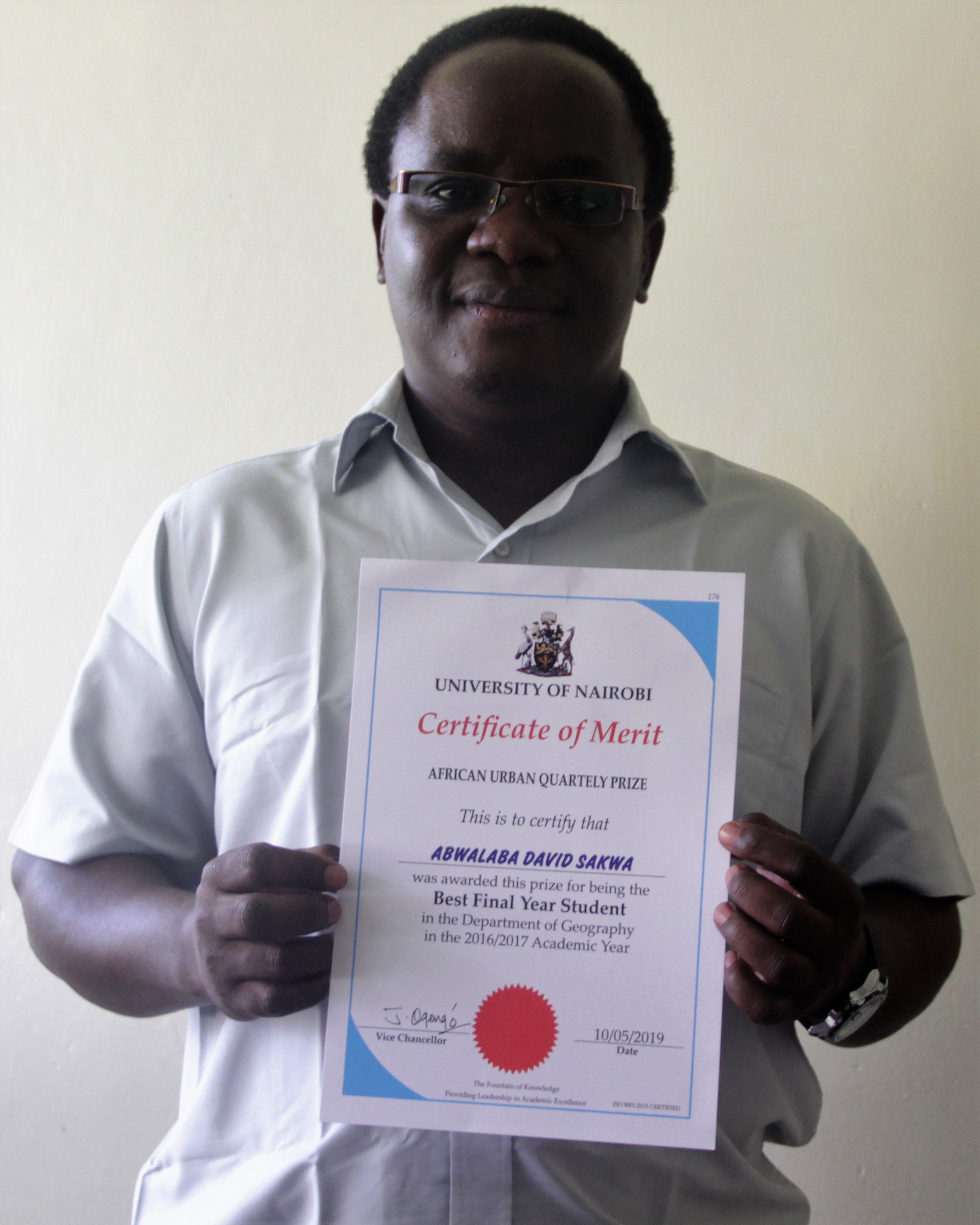
In the 2015/2016 academic year, Singh Amitoj won the gold medal and in the 2016/2017 academic year Essajee Asya Abdulatif won the same award.
Prof. Mbithi noted that dreams don’t become a reality through magic, it takes sweat, determination and real hard work. “The mouth doesn’t eat if the feet doesn’t walk and if the hands doesn’t work. I congratulate you on your outstanding achievement. Ahead of you is the task of doing the utmost to keep the dream alive," he said. The Vice Chancellor, took the opportunity to thank staff members who generously contributed towards the prize giving day. He urged more staff members, parent and stakeholders to join the list of awards sponsors. “Charity begins at home. I challenge more staff members to donate towards prize giving and sponsor more prizes,” he said.
The RCMRD fraternity congratulates all for their exemplary performance and especially Mr. David Sakwa.
RCMRD conducted a training for Kenya National Highways Authority (KeNHA) staff in the GIS and Survey Department. The course provided an introduction to the theory and practice of geographic information systems (GIS). The training was conducted from May 27 to June 1, 2019. This was in line with the Survey Department's GIS section that is implementing various activities as per the Work plan 2018/2019 work plan.
Mr. Leonard Sweta the RCMRD Geo-Information Training Coordinator and Principal trainer conducted the training for 20 staff drawn from different departments and sections at KeNHA in Naivasha, Kenya.

The KeNHA survey department purchased Esri products including ArcGIS Desktop, Portal, Mobile mapping apps and operation dashboard for implementation of activities that will include mapping, digitization and creation of a central GIS database for KeNHA's assets.
The The training was vital since it not only exposed the staff to a wide range of GIS solutions used by other road agencies all over the world but also improved their understanding of GIS workflows for effective service delivery as per the Authority’s mandate.The training will also leverage on the best GIS practices in highways and construction industry.
Roysambu, Kasarani
Nairobi, Kenya
+254 020 2680748 / 2680722
+254 723 786161 / +254 735 981098
P.O. Box 632-00618 Nairobi, Kenya
rcmrd@rcmrd.org


