Soil is an important resource for sustainable agricultural development, hence the need to understand factors that can lead to its degradation, such as wind erosion. Land degradation is becoming a serious threat to agricultural production. Understanding spatial and temporal patterns in land susceptibility to wind erosion will help in developing strategies to control it. RCMRD is one of the 13 consortia of institutions that were selected by the African Union Commission (AUC) to serve as Regional Implementing Centres for the Global Monitoring for Environment and Security and Africa (GMES and Africa) Support Programme. Under this project, RCMRD is implementing the following application areas: Land Degradation Monitoring & Assessment; Wetlands Monitoring & Assessment as well as an Open Geographical Regional Reference Vector Database for water and & agro-ecological zoning.
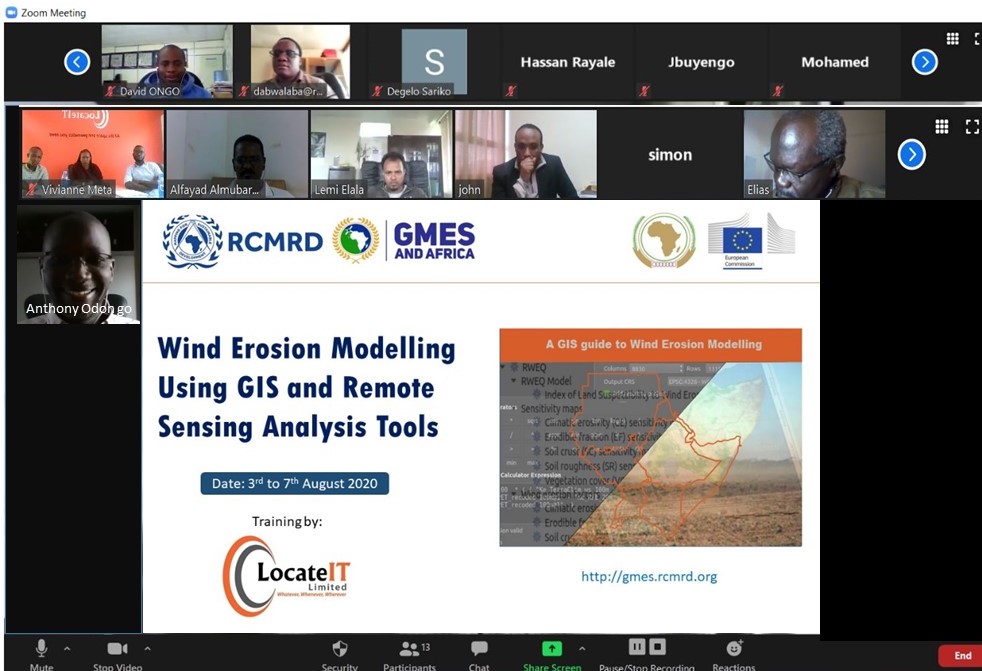
During the month of August 2020, the RCMRD GMES team will be undergoing an online training on four areas. One of these being The Wind Erosion Modelling using Remote Sensing and GIS , which aims at strengthening skills of those professionals interested in Earth Observation, to better understand land degradation monitoring and assessment. The other courses to be covered will be Wetlands Vulnerability Analysis, Socio-Economic Valuation of Degraded Lands and Wetlands as well as Land Productivity Analysis and Methodology.
The “Wind Erosion Modelling Using GIS Analysis Tools” course is facilitated by Locate IT, a Geo-ICT company that offers cutting-edge location-based products and services. The consultants are covering four units that comprise of 15 lessons namely; wind erosion dynamics, Revised Wind Erosion Equation (RWEQ) QGIS plugin that will touch on Computing Climate Erosivity (CE), Computing Erodible Fraction Factor (EF), Computing wind erosion factors and sensitivity maps, which will cover computing soil crust and fractional vegetation cover. The last unit will be Index of land susceptibility to wind erosion, covering areas on computing the surface roughness factor, Index of Land Susceptibility to wind erosion and the way forward.
It is expected that after the one-week engagement, the project team professionals will be equipped with skills on Earth Observation methodology for wind erosion modeling, which will be of use in supporting land degradation assessment through the open data and other tools. Additionally, it is expected that the participants will acquire a solid background to wind erosion modelling, apply remote sensing data to model wind erosion, analyze index of land susceptibility to wind erosion, and competently perform image analysis using QGIS image processing tools. Further, the skills will be shared to the policy makers for better informed decision making on tangible matter – mitigation of land degradation due to wind erosion and its dynamics at regional and national level.


