Floods occur in Kenya due to natural factors like flash floods, river floods and coastal floods. They may also occur due to human manipulation of watersheds, drainage basins and flood plains. For example, in some cases floods have occurred in the river basins even with normal rains because of excess surface water run-off occasioned by deforestation, land degradation upstream. Kenya is affected by floods following torrential rainfall. These force thousands of people living in the lowlands to move to higher grounds. There are several technological solutions that offer immediate to long term interventions to alleviating floods. These include integrated flood detection, forecasting, warning and response actions.
Between November 18 and 19, 2019, The Regional Centre for Mapping of Resources for Development (RCMRD) through SERVIR Eastern and Southern Africa (SERVIR E&SA) project in collaboration with the University of Oklahoma (USA) conducted a training on the use of Ensemble Framework for Flash Flood Forecasting (EF5) for flood monitoring and notification system customized for the East Africa region.

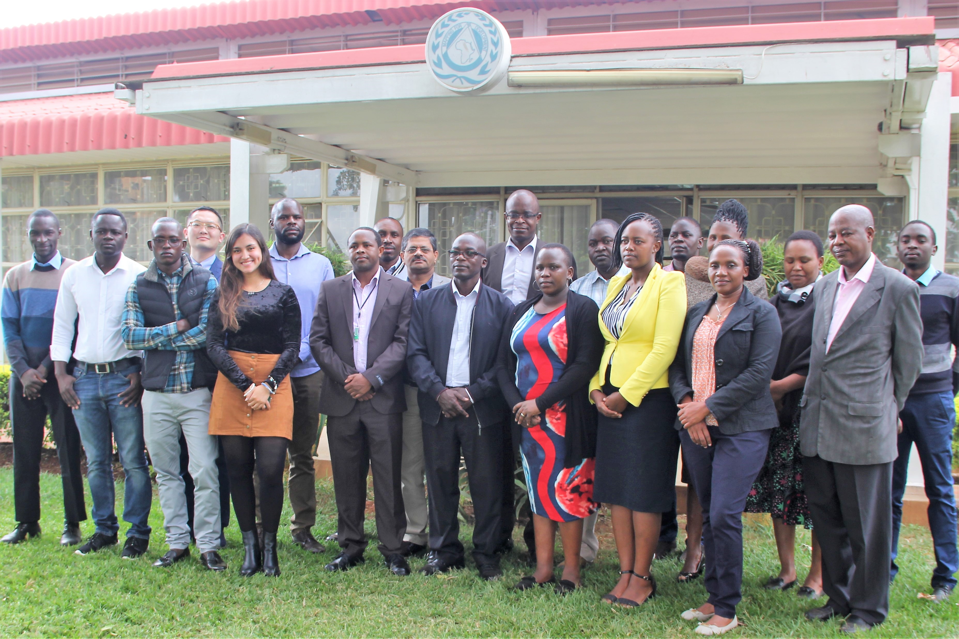
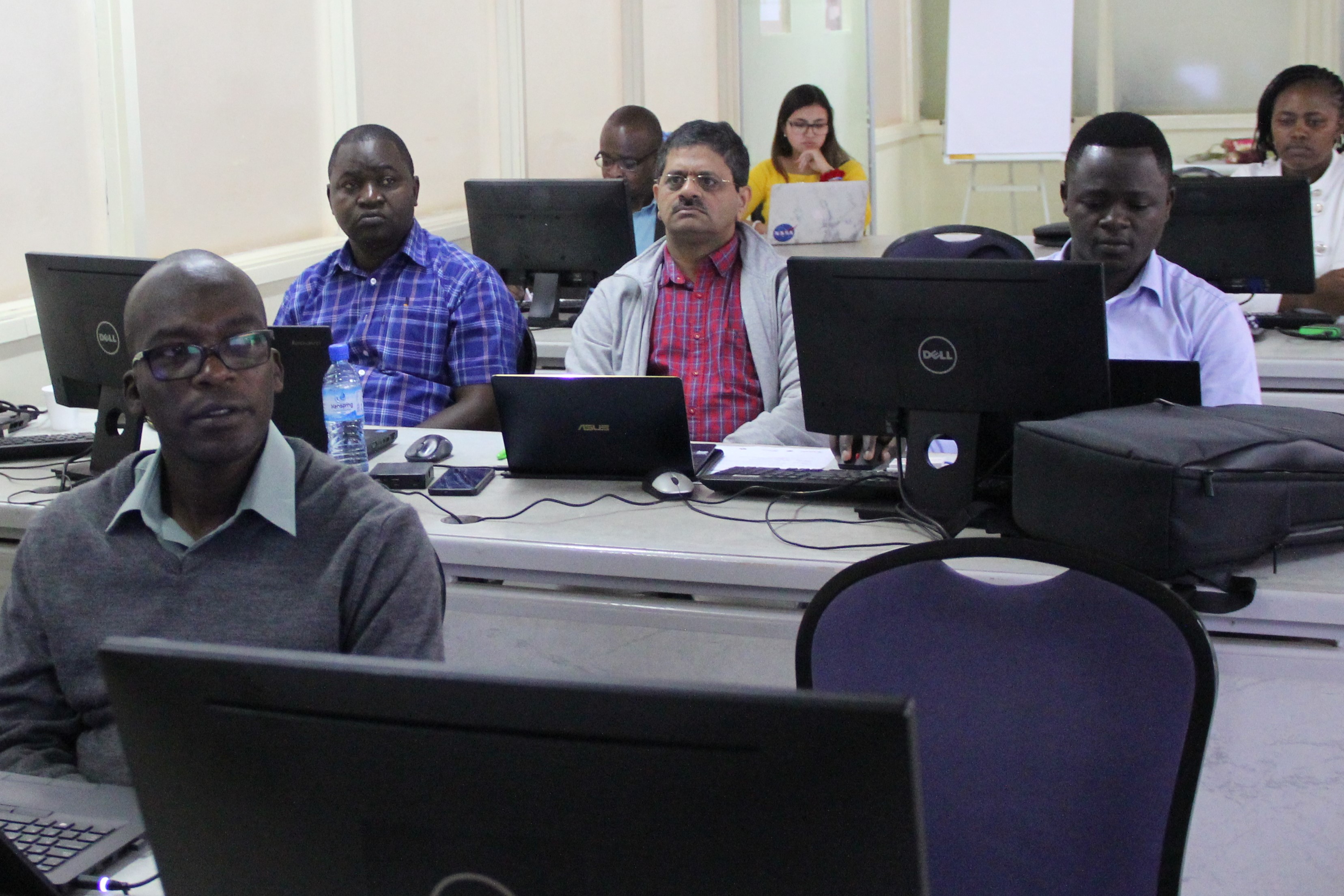
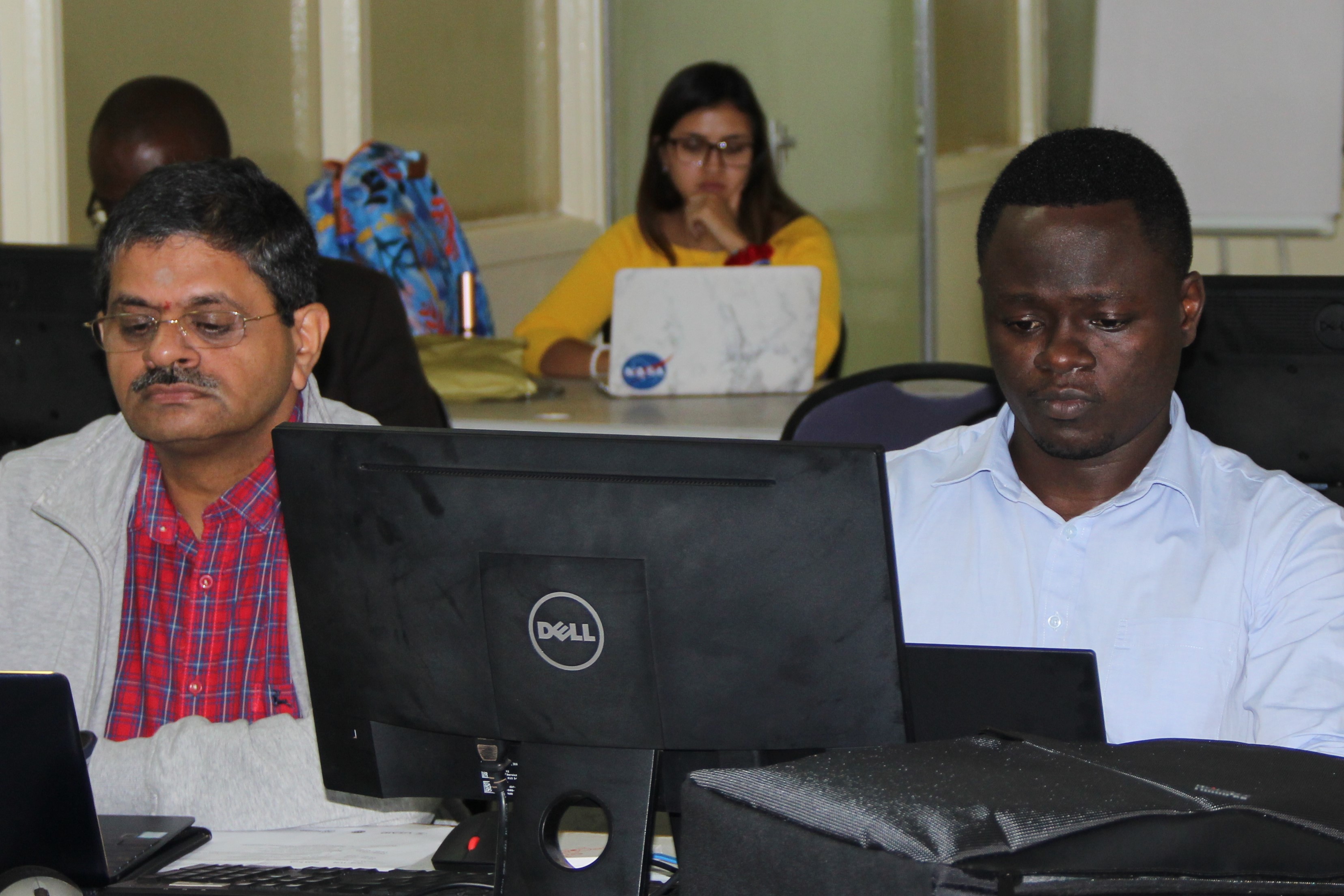
RCMRD and her partners developed and piloted the use of Ensemble Framework for Flash Flood Forecasting (EF5) for flood monitoring and notification system customized for the East Africa region. The EF5 is hydrological model platform allows that users to monitor and forecast hydrological phenomena such as floods and droughts based on GIS and remote sensing applications technology. The institutions organized a two day training workshop for the EF5 and its application on flood modelling, monitoring and forecasting for Kenya. The training workshop was held on the 18th and 19th of November 2019 at RCMRD in Nairobi Kenya with the aim of building technical capacity in on flood and drought disasters monitoring. The workshop’s participants were hydrologists, hydro-meteorologists, water resources engineers and professionals drawn from the Ministry of Water and Irrigation, Kenya Meteorological Services (KMS), Water Resources Authority (WRA), IGAD Climate Prediction and Applications Centre (ICPAC), Kenya Water Institute (KEWI), Kenya Red Cross Society, research institutions and other private sectors.

The training is followed the Advanced EF5 hydrological modelling training held in April 2018 and participants were already familiar with the hydrological modelling and basic of EF5 concepts. The RCMRD and its partners have been running the EF5 model using, GIS techniques, remote sensing, and the hydrological model outputs. In this workshop, the participants will learn the applications of the EF5 model and setting up the flooding threshold to activate the alerting system to mitigate the communities from water and water related disasters. It was expected that the participants would be able to: Set-up and run the regionalized EF5 model for East Africa Region to forecast flooding and drought on river basins of interest. They were also expected to set-up the flooding threshold to activate the alerting. Participants had this to say of the training: "We appreciate the fact that SERVIR through RCMRD, developed this initiative to train stakeholders on flash flood forecasting, both the basic and advanced training. " Another participant also said she was impressed since the model was meant to be customized to suit local catchment characteristics.

The model output will give early warning on the areas of potential flooding using forecast rainfall as input data with notifications being sent out via email and SMS. The model leverages on the use of Earth Observation data to model flashfloods and it is vital in regions that do not collect in situ data. This capability enables the estimation and prediction of flood occurrence in all regions.
See photos here: https://flic.kr/s/aHsmJBcqNa


