Ministry of Lands (Malawi) through the World Bank funded Agricultural Commercialization (AGCOM) project is currently implementing the national Land Information Management System (LIMS) in collaboration with Trimble Land Administration, RCMRD, ESRI South Africa, Africa Bees Limited (UK) and Kennedy Z36 Systems (Malawi).

The LIMS intends to automate business processes in the delivery of land administration services by linking the processes and datasets of the three key departments of Lands, Surveys and Physical planning as well as other key stakeholders involved in land management in Malawi. Key benefits of the LIMS include reduction of the time and costs associated with land transactions and registration; and improving efficiency and effectiveness in the delivery of land administration and management services.

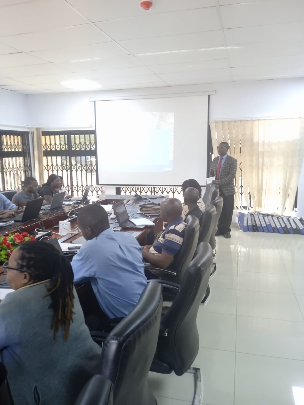
Surveyor General (SG) Mr. Julius Chisi giving remarks on the training
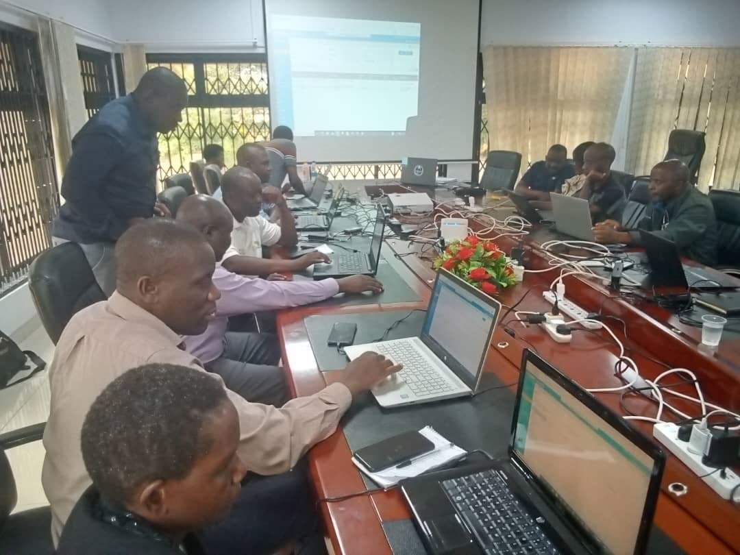
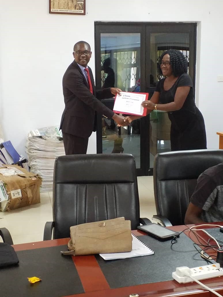
The main objective of the training was to build capacity of Ministry of Lands staff in using the LIMS software platform - Malawi LIMS Landfolio. Training participants were drawn from the LIMS user group comprising of technical officers and managers from the departments of Lands, Surveys, Physical Planning and ICT.

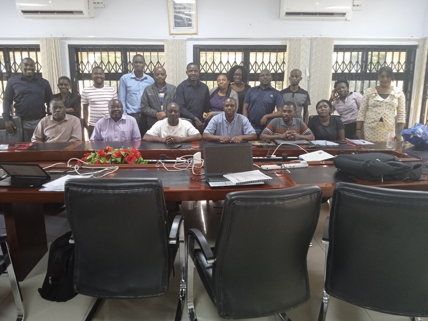
LIMS user training group photo
The training focused on equipping the participants with theoretical and practical skills to register and process different land transactions on the Malawi LIMS Landfolio platform such as leases, deeds, caveats, consents, transfers, official searches, etc. Areas of concentration during the training included: Landfolio interface; Business data; documents and reports; workflows and actions; maps and map services. Trimble Landfolio is a standards-based and configurable software platform used to implement the comprehensive, automated, integrated and transparent land information management system for Malawi.


