The Kenyan rangelands contribute significantly to the country's GDP through livestock production and tourism. With dependence on rain-fed pastures, climate variability coupled with human induced factors such as overgrazing has adversely affected the rangeland ecosystems however, even though indigenous communities and conservation experts already use their knowledge of the landscape to make decisions, this information is usually localized. Successful management of the rangelands requires reliable and relevant information on vegetation changes to quantify the effects of these changes on the rangeland ecosystem. Intensive and long-term ground-based assessments can produce fine scale, accurate and localized information. However, they are expensive, time and labor intensive; and do not provide full coverage and visualization of the spatial dynamism in rangeland ecosystem.
Locally, organized groups have been established to develop mechanisms for improving the health of the rangelands. These include conservancies such as the Northern Rangelands Trust (NRT) which brings together 35 community led conservancies to collectively implement initiatives for sustainable management of the rangeland ecosystems. This is achieved through efforts such as reseeding and practicing planned rotational grazing. The conservancies use emerging technologies and the indigenous knowledge of the rangelands landscape, to implement measures geared toward improving the rangelands ecosystem.
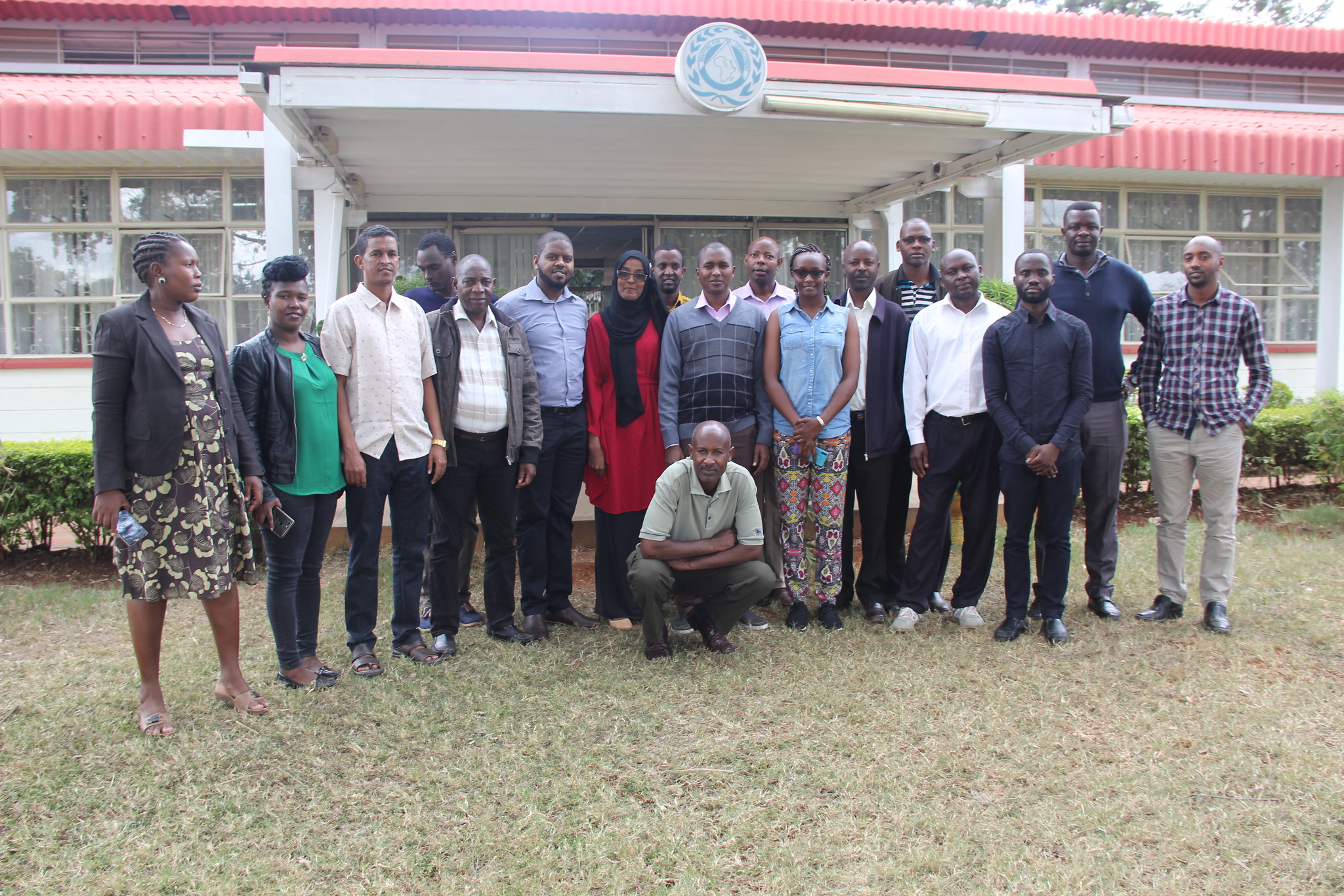
SERVIR E&SA has been developing the Rangelands Decision Support Tool as a response to the need from stakeholders for a dynamic rangeland monitoring tool. The main goal of developing it is to facilitate near real time assessment and monitoring of rangeland resources by developing a web based tool that will aggregate key indicators to rangeland productivity with ancillary data and allow for integration of user selected indicators to produce maps at different administrative and conservancy boundaries. Between October 2 and 4, 2019, RCMRD/SERVIR E&SA conducted a training for stakeholders drawn from various counties in Northern Kenya. The training was on the Rangelands Decision Support Tool as a response to the need from stakeholders for a dynamic rangeland monitoring tool.
The the web-based Rangelands Decision Support Tool (RDST) automates data processing and provides an easy to use interface for accessing indices for rangeland monitoring. MODIS Normalized Difference Vegetation Index (NDVI), anomalies and deviation indices are provided on the tool at decadal, monthly, and seasonal time steps. Users begin their assessments by selecting their monitoring units and an NDVI index that responds to their specific questions. These questions respond to assessing current conditions, monitoring trends and changes in vegetation, and evaluating proxies for drought conditions. The information can then be overlaid with other ancillary datasets (roads, water sources, invasive species, protected areas, place names, conflict areas, migration routes), for context.
At the click of a button, the information can be downloaded as a map for further analysis or application in sub regional decision making. Information and maps generated by this tool are being used decision making tool by rangeland managers in the counties and in other management units (conservancies and ranches). Specifically, inform adjustments to existing grazing plans, managing movement of livestock from designated grazing areas in wet and dry season, monitoring the success of rehabilitation efforts and resilience of the rangeland ecosystems, monitoring drought, managing scarce water resources, and monitoring the spread of invasive species. Successful implementation and application for decision making has relied heavily on local indigenous knowledge and capacity building on use of the earth observation indices. The SERVIR project service planning engagement approach was used in engagements with stakeholders. This improved their participation in co-development of the tool and indices; and in adoption of the tools for decision making.
The Rangelands Decision Support Tool (RDST) allows specific user groups to plug in program specific data that can be used to provide interpretations of rangeland conditions. Data includes vegetation greenness/proxies to productivity at multi temporal scales (10 day, monthly, seasonal). The greenness indices include Normalized Difference Vegetation Index (NDVI) maximums, averages, Standard anomalies (Z-score) and absolute anomalies (difference from long term mean) and a Vegetation condition Index (VCI). The tool provides users with explanations that directs them in selecting the right indicators, preferred boundary (county/conservancy/grazing block), and allows users to select overlay data such as invasive species, towns, water sources and produce pdf map for assessment and monitoring. Further, surface water maps which are a critical driver in rangelands management are being developed as an addition to the tool.
To build capacity on the use of the tool, SERVIR E&SA held a three day capacity building workshop to train selected participants on application of the tool. After the training participants were expected to have a clear understanding on the use of the tool, and demonstrate how they can link the information to their monitoring plans. Feedback on the tool would also be provided.