![]()
![]()
Although the complex interactions between land use and transport are often acknowledged and appreciated, the state of practice is to fall back on purely transport and mobility-related metrics when evaluating infrastructure investment decisions.

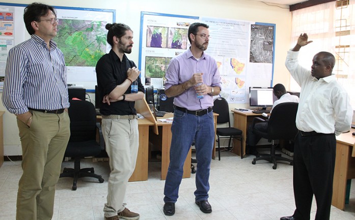
Inclusive land tenure, pragmatic land valuation and taxation and rational land use and land development practices are important characteristics for good land administration. To ensure seamless interaction this needs to be anchored on sound land information infrastructures developed from appropriate built and natural environment data sets.
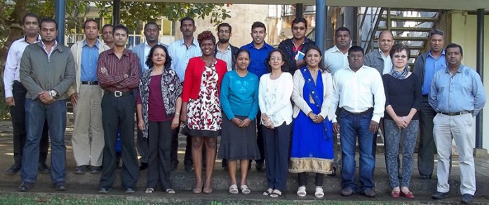
RCMRD conducted a one-week training on Geospatial tools for better land use and land cover monitoring to support GHG inventories at the University of Mauritius, Mauritius, from 13-17th June, 2016. The training aimed at equipping 22 participants with Geospatial tools and techniques for better land use land cover monitoring to support their third
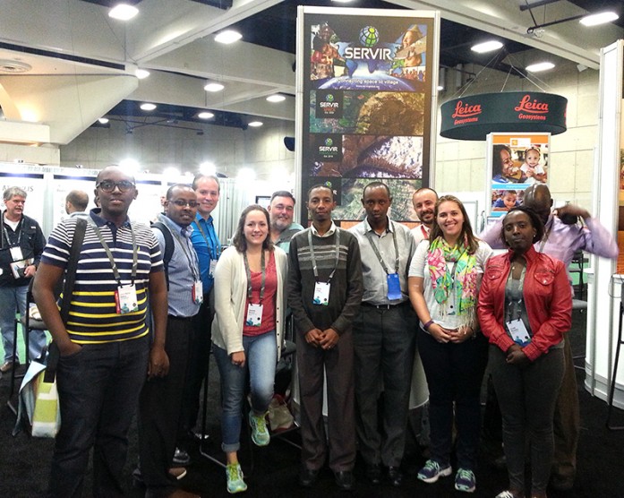
A team from RCMRD/SERVIR-Eastern and Southern Africa is attending a one-week ESRI User Conference in San Diego, California, USA. The team is making presentations on story maps, their activities, and helping out at the SERVIR Global stand under the Sustainable World Showcase theme. On 28th June, the team held talks with ESRI in
Roysambu, Kasarani
Nairobi, Kenya
+254 020 2680748 / 2680722
+254 723 786161 / +254 735 981098
P.O. Box 632-00618 Nairobi, Kenya
rcmrd@rcmrd.org


