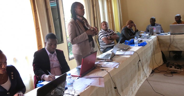
RCMRD has been conducting a two week training on Land Cover Mapping in Rwanda from 17th October, 2016. The training was officially opened by Dr. Caudine Uwera,

Geospatial science plays an important role in ensuring both food and nutritional security in agricultural systems, specifically, in realizing United Nation’s Sustainable

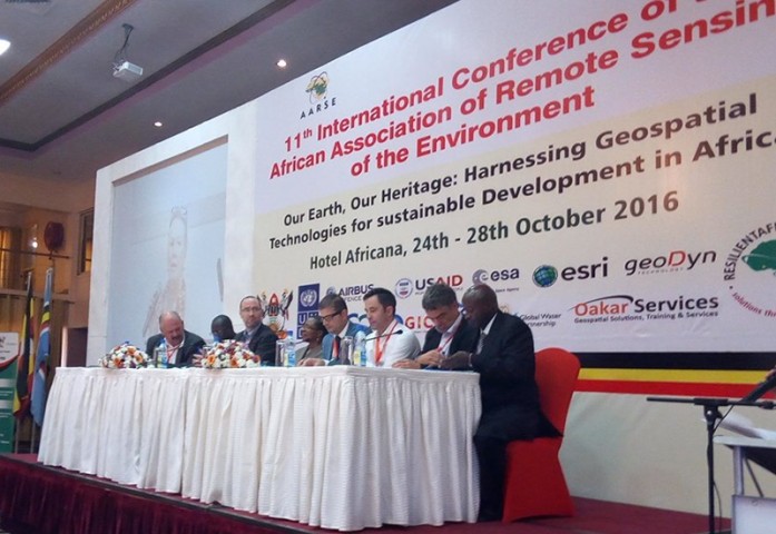
Six senior staff from RCMRD attended the eleventh African Association of Remote Sensing of the Environment (AARSE) International Conference, which took place in

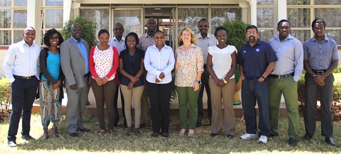
The Applied Science Team (AST) led by Stephanie Granger and Narendra Das from the NASA Jet Propulsion Lab (JPL) conducted a three-day Regional Hydrologic Extremes Assessment System (RHEAS) training workshop at RCMRD, Nairobi Kenya from 1-4th November, 2016. The training aimed at operationalizing and automating various features of RHEAS and building the capacity of RCMRD/SERVIR E&SA technical team in using it. RHEAS combines two models (DSSAT (crop model) and VIC (hydrological model)) to form the East Africa Drought and Agricultural Productivity Assessment and Prediction system. The system is expected to provide drought and yield assessments (with uncertainty levels) for selected countries in the Eastern and Southern Africa region at county/sub-regional levels. The system has a hydrologic model that can make estimations of both the current time period and future time periods.