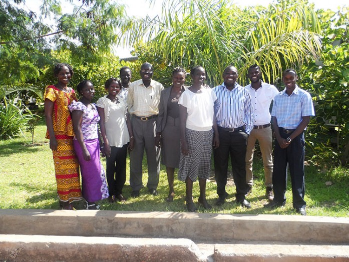
The Regional Centre for Mapping of Resources for Development (RCMRD) held a three-day National Geoportal technical training workshop from 25th – 27th August, 2015 in Juba, South Sudan. The aim of the workshop was to train participants from the South Sudan National Bureau of Statistics (NBS) on the use and administration of the South
Sudan geoportal. In 2014, RCMRD and SERVIR-Eastern & Southern Africa partnered with the South Sudan NBS to develop and implement the geoportal. As a component of the National Spatial Data Infrastructure, the goal of the geoportal is to enhance the capacity of South Sudan government agencies and non-governmental institutions in collaborative geospatial data creation, sharing and management.
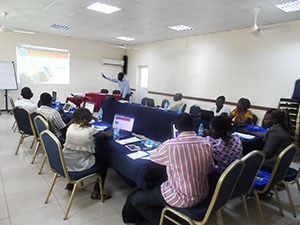
Allan Maungu, SERVIR Eastern and Southern Africa GIS System Developer, takes participants through the training
Professionals from the GIS, Remote Sensing and Cartography department of the NBS, who are the custodians of the geoportal were taken through different modules including web-based spatial data management, interactive mapping, metadata editing, and geoportal administration. Discussions were also held on core aspects of the geoportal including security, scalability, standards and spatial data policies.


