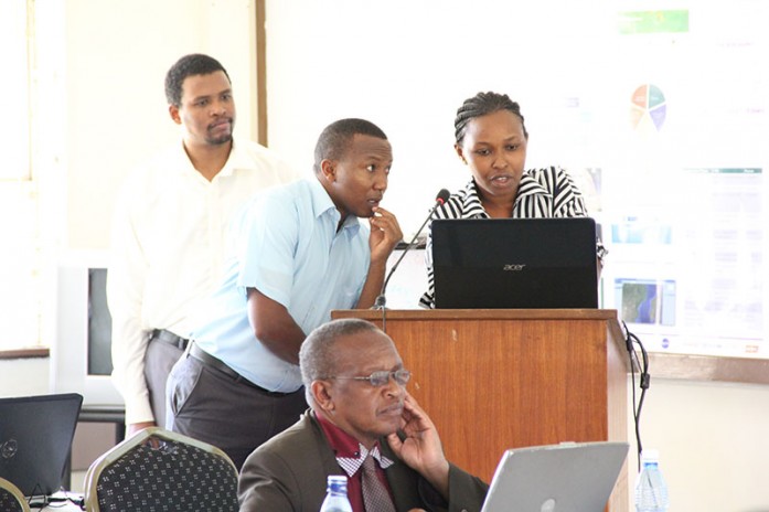
The Regional Centre for Mapping of Resources for Development (RCMRD) hosted a one-day SERVIR products and applications workshop on 9th September, 2015. The workshop was officially opened by Dr. Hussein Farah, RCMRD’s Director General. Also present were Vincent Mtaroni, Ag. Director, RS/GIS and Mapping Department, Dr. Robinson Mugo, Earth Observations Lead, and Anastasia Wahome, GIS and Database Applications Lead.
The workshop was attended by a number of stakeholders from academic, government and non-governmental, regional and local institutions with interest in the application of geospatial technologies in dealing with climate change effects and natural resources and environmental management. In his speech, Dr. Farah said he was looking forward to having more engagements and discussions on the use of geoinformation and related tools for the benefit of the people in different areas.
The workshop aimed to fulfill several objectives including giving an opportunity to policymakers, experts, and users of spatial information to discuss products, applications and tools developed by the RCMRD/SERVIR-Eastern and Southern Africa Project team; sharing knowledge, experiences and challenges in developing products and applications related to geoinformation technology; creating a community of practice made up of policy and technical stakeholders to support uptake of these tools, applications and products within the region and beyond; and increasing awareness on the availability, usefulness and importance of RCMRD/SERVIR-Eastern and Southern Africa products, tools and applications.

Prof. Onywere from Kenyatta University voicing his views during the workshop.
These tools, applications and products can be accessed here
Photo Link
Flickr https://www.flickr.com/photos/128418604@N04/sets/72157657968198359


