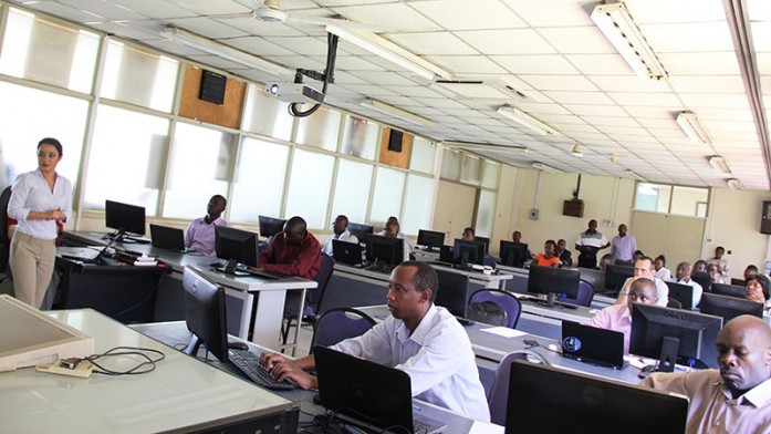
The Regional Centre for Mapping of Resources for Development (RCMRD), the Woods Hole Research Center (WHRC) and the American Museum of Natural History (AMNH) are holding a three-day workshop on Tools for Carbon emissions Estimation and Mapping in East Africa in Nairobi, Kenya. The workshop participants are specialized
technicians from the Eastern African countries. The major objective of the workshop is to present and work with open source tools for carbon emissions estimation, assess the accuracy of land cover maps and train participants on using unmanned aerial vehicles (UAVs) for mapping forest degradation. This workshop will help participants get familiar with tools and methods used in mapping carbon emissions in East Africa. WHRC is involved in a number of projects that aim to promote the development and use of remote sensing information, mobile and Cloud mapping technologies for sustainable forest conservation policy analysis and to enhance discussions dealing with environmental and development issues in Africa. The workshop started on 22nd March and will end on 24th March, 2016.
See workshop photos here


