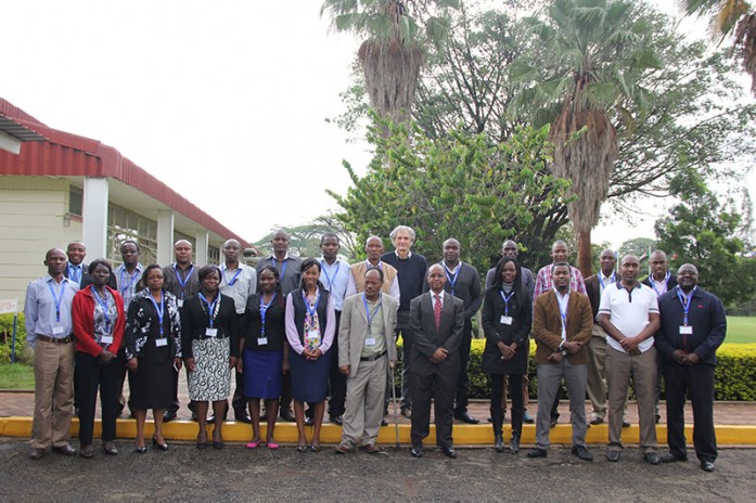
The Regional Centre for Mapping of Resources for Development (RCMRD) through the Stimulating Innovation for Global Monitoring of Agriculture (SIGMA) program is holding a 2-week national training workshop starting 25th April to 6th May, 2016. The training is being conducted by Food and Agriculture Organization’s (FAO) Dr. Antonio Di Gregorio.
The training participants are from institutions in Kenya dealing with agriculture, environment, remote sensing and GIS. The training will include FAO’s Land Cover methodology, standards and tools with focus on the most recent Land Cover Classification System (LCCS 3) and the Land Cover Meta Language (LCML ISO standards) using the updated Open source Mapping Device Change Analysis (MadCat) software to develop a land cover database, and to describe, step by step, procedures to follow and techniques to adopt in performing the mapping, segmentation, sampling and change detection for environmental monitoring.
See photos here


