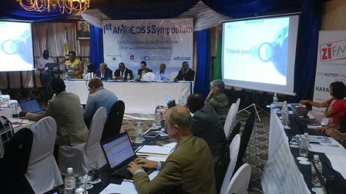
The Regional Centre for Mapping of Resources for Development (RCMRD) took part in the first AfriGEOSS Symposium in Victoria Fall, Zimbabwe from 27-29th April, 2016. The first symposium of the AfriGEOSS initiative was hosted by the Research Council of Zimbabwe (RCZ) on behalf of the government of Zimbabwe and opened by Hon. Ambassador Simon Khaya Moyo, Minister for Policy Coordination and Promotion for Socio-economic Ventures in the President’s office. The event was also attended by Ms. Barbara Ryan, Group on Earth Observations (GEO) Secretariat Director and Dr. Phil Mjwara, GEO Co-Chairperson representing Africa and Director General, Department of Science and Technology, South Africa. In his opening remarks, Hon. Ambassador Simon Khaya Moyo reiterated the importance of Earth Observation and its role in national development, particularly for Africa.
The symposium’s theme “Earth Observations for the Africa We Want” drew the symposium discussions to focus on ensuring AfriGEOSS activities respond to the broader African agendas and objectives such as the African Union (AU) Agenda 2063 with the objectives of understanding the role of Earth Observations in the implementation of African policies for sustainable development; Identifying means and ways of mainstreaming Earth Observations in the decision making process in Africa; Reviewing the AfriGEOSS implementation approach and developing a detailed technical and financial programme; and building synergies with GEO initiatives and international initiatives relevant to Africa with continental initiatives.
The AfriGEOSS initiative, developed within the GEO framework, will strengthen the link between the current GEO activities with existing capabilities and initiatives in Africa and will provide the necessary framework for countries and organizations to access and leverage ongoing bilateral and multilateral Earth Observation-based initiatives across Africa, thereby creating synergies and minimizing duplication for the benefit of the entire continent.
RCMRD’s delegation was led by Prof. Kiema, Director, Remote Sensing, GIS and Mapping who made presentations on Forestry/ GHG Mapping/ MESA IGAD Thema and the SERVIR Programme- achievements and impacts. RCMRD is a participating organization of GEO. Read more


