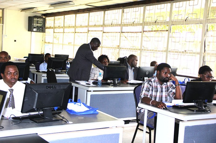
The Regional Centre for Mapping of Resources for Development (RCMRD) is holding a 3-week training workshop on Application of Geo-Information for Disaster Risk Reduction in Kenya, starting 9th to 27th May, 2016. The training has attracted participants from the Directorate of Resource Surveys and Remote Sensing (DRSRS), Ministry
of Mining, and Survey of Kenya. The training was opened by Prof. Kiema, Director, Remote Sensing, GIS & Mapping Department. In his opening speech, the Ag. Director General reiterated RCMRD’s support to member States while underscoring the important role played by RCMRD in developing technical programs to address environmental challenges in Africa as a whole. The training will cover a number of areas including review of remote sensing and geo-information systems processes and methodologies, data acquisition, assessment of data for land degradation and landslides assessments, approaches to environmental disasters, hazards and risks geo-assessments, geospatial modelling, spatial analysis, and ground verification and validation. View photos here


