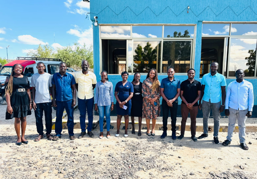
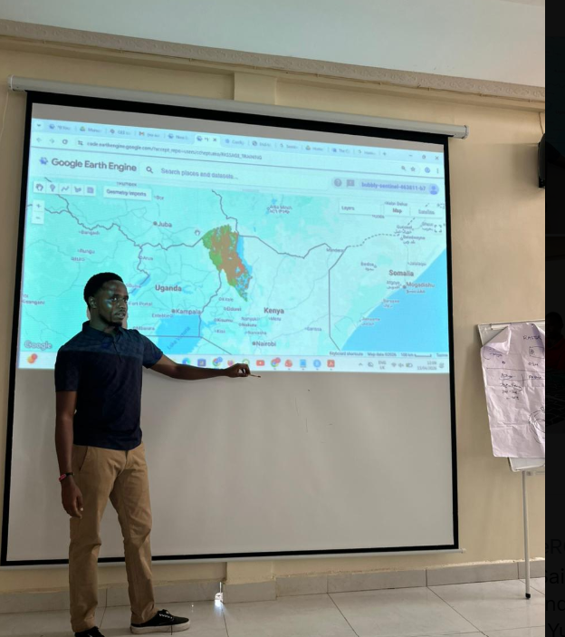
Facilitated by Angela Too and Connel Cheptumo, under the Earth Observation and GIS Unit the sessions adopted a highly practical, hands-on approach that allowed participants to interact directly with satellite imagery and analytical tools. Using Google Earth Engine, a cloud-based platform for processing large-scale geospatial data, participants quickly learned how to run scripts and generate environmental maps. By the second day, most had successfully navigated the platform independently, reflecting a strong uptake of the technology. The integration of outputs into the R programming language introduced participants to more advanced data analysis and visualization techniques, although many noted that this component would benefit from further dedicated training.