Roysambu, Kasarani
Call: +254 723 786161 / +254 735 981098 | ISO 9001:2015


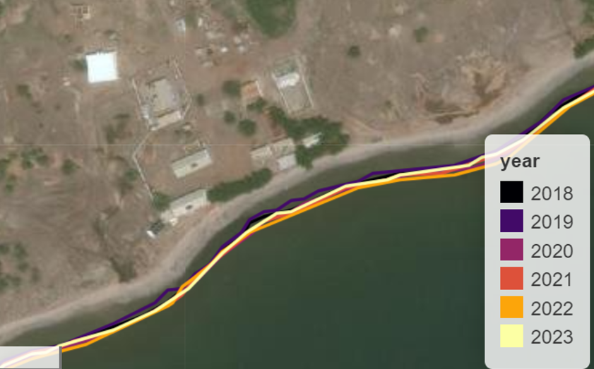
From October 6 to 12, 2024, the Regional Centre for Mapping of Resources for Development (RCMRD) under the Digital Earth Africa (DE Africa) initiative, funded by Geoscience Australia conducted a field mission in Djibouti. This mission is a key component of a six-month project on “Coastline Erosion Mapping,” aimed at utilizing Earth Observation data to identify and map hotspots of coastline erosion. By employing advanced tools and technologies, this initiative seeks to address the pressing challenges of coastal degradation and promote sustainable management practices.
Over the course of six days, RCMRD collaborated with the Centre d’Étude et de Recherche de Djibouti (CERD) to conduct field data collection, engage national stakeholders, and gather ground labels for erosion hotspots. The partnership between RCMRD, CERD, and local communities played a role in collecting data needed to calibrate and validate erosion mapping models. This mission emphasized a coordinated approach, with two dedicated teams, including CERD experts, working closely with stakeholders and community members. The teams collected data on coastline changes, erosion trends, and the underlying causes of these changes. Local informants provided invaluable insights into the impacts of erosion, highlighting the threats posed by sea-level rise, extreme weather events, and human activities.