Roysambu, Kasarani

Call: +254 723 786161 / +254 735 981098 | ISO 9001:2015

From data to action: How RCMRD’S African Agriculture Adaptation Atlas Project is transforming climate-resilient agriculture across 38 counties in Kenya

Across Africa, climate change is no longer a distant or abstract threat. It is already reshaping agricultural systems, influencing when farmers plant, what they grow, and how they sustain their livelihoods. In this evolving landscape, access to timely, accurate, and localized information has become essential. The Country Use case African Agriculture Adaptation Atlas (AAAA) (https://adaptationatlas.cgiar.org/), implemented by the Regional Centre for Mapping of Resources for Development (RCMRD) in collaboration with Sustainable Agriculture Foundation, is responding to this need by transforming complex geospatial data into practical tools that support climate-resilient agricultural planning and decision-making.
Through the utilization of the Atlas, RCMRD, in collaboration with county Ministries of Agriculture and Livestock Development, co-designed county specific knowledge products, such as factsheets, bulletins, gender-sensitive enterprise design and feasibility reports. These products provide evidence-based insights tailored to local contexts. They are designed not only to inform national strategies but also to strengthen decision-making processes at the county level, where climate impacts are most directly felt and where adaptation actions are implemented.
Image
Image
Image
Over a two-week period, RCMRD conducted county-level engagements across 38 counties in Kenya to formally launch and operationalize the AAAA knowledge products. These engagements marked an important transition from product development to practical application, ensuring that counties are not only aware of the Atlas but are actively using it to guide planning, implementation, and monitoring processes. The counties are establishing mechanisms for continuous updating, documenting use cases, and sustaining long-term application.
To achieve this, the engagements brought together county stakeholders, including Chief Officers in Agriculture and Livestock, County Directors, technical officers in crops and livestock, as well as specialists in data, ICT, GIS, gender, environment, monitoring and evaluation, fisheries, cooperatives, and communications.
Following the successful launch, RCMRD engaged the counties in Monitoring and Evaluation (M&E) feedback sessions. Evidence emerging from these engagements demonstrates that counties are leveraging the Atlas to inform climate-resilient agricultural planning. In Baringo County, for example, the gender-sensitive enterprise design has supported the development of more inclusive agricultural plans, including the distribution of poultry inputs aimed at diversifying livelihoods and reducing dependence on climate-sensitive enterprises. In Kericho County, climate risk profiles derived from the Atlas were integrated into the County Integrated Development Plan (2023–2027), guiding investments toward irrigated agriculture in vulnerable lowland areas. Nakuru County has used climate risk maps as a key decision-support tool in preparing its agricultural work plans, resulting in significant investments in climate resilience, including small-scale irrigation systems and drought-resistant seeds. In Murang’a County, the knowledge products are informing decisions on crop and fodder selection, aquaculture development, and climate-smart agricultural practices.
Image
Image
Image
Image
In Garissa County, the AAAA platform and knowledge products contributed to the development of the County Statistical Abstract, which consolidates key agricultural, climate, and socio-economic data used to inform planning and decision-making processes. In Kisumu County, the products supported the identification of flood risks and mitigation strategies in the Gem Rae Farmer Producer Organization (FPO) enterprise development plan. Counties have also indicated plans to further integrate insights from the knowledge products into agribusiness workplans, particularly through extension messaging, farmer training, and value chain development initiatives once the materials are updated.
Beyond planning, the knowledge products from the Atlas are playing an important role in strengthening agribusiness and value chain development. In Bomet County, they have supported value chain analysis that integrates sustainability and climate considerations across production, transport, processing, and market systems. In Machakos County, donor-supported projects are increasingly prioritizing climate-resilient enterprises such as improved indigenous poultry breeds and drought-tolerant livestock, based on insights from the Atlas. Similarly, in Kericho County, adaptation strategies have been incorporated into the annual work plans of agribusiness cooperatives, while in Kisumu County, flood risk information has informed enterprise development planning for farmer organizations.
Extension services, which serve as a critical link between knowledge and practice, are also benefiting from the integration of AAAA insights. In Machakos County, extension officers are promoting climate-resilient crop varieties such as drought-tolerant maize and beans that can withstand changing weather conditions. In Nakuru County, extension services now incorporate climate-informed advisories, including optimal planting calendars, crop suitability recommendations, and seasonal forecasts, which are disseminated through farmer training sessions and digital communication platforms. Across several counties, soil testing, fertility mapping, and climate-smart agriculture advisories are enabling more precise, location-specific recommendations
At the production level, the Atlas products are supporting the adoption of climate-resilient crops and livestock systems. In Murang’a County, farmers are increasingly adopting sorghum and improved fodder systems suited to semi-arid conditions. In Nakuru County, diversification into resilient crops such as millet and cassava is being guided by climate and soil data. Livestock systems are also evolving, with counties integrating climate considerations into breeding programs and management practices to enhance productivity and resilience. In Kwale County, there are plans to leverage the AAAA platform to strengthen livestock breeding programs by integrating climate resilience into breeding and livestock management strategies.
Turkana County has demonstrated effective use of AAAA knowledge products as decision-support tools for climate-resilient agriculture. The county has applied climate risk profiles, crop suitability data from the factsheet, and advisory insights to guide planning and prioritize drought-resilient interventions suited to its arid conditions. These insights are informing extension services, livelihood diversification strategies, and targeted investments in resilient crops and livestock systems.
The Atlas is further contributing to improved access to agricultural inputs by enabling more targeted and efficient distribution systems. In Kericho County, soil fertility maps are guiding fertilizer allocation through e-voucher schemes, ensuring that inputs are directed to areas where they are most needed. Perhaps one of the most significant contributions of the AAAA is its role in guiding investment and policy decisions. Counties are increasingly using the knowledge products to identify high-potential value chains, assess returns across different agroecological zones, and prioritize investments that deliver the greatest impact. In Nyamira County, the products have been used in community sensitization meetings and professional forums, with plans to expand their use in field days to strengthen linkages between farmers and institutions.
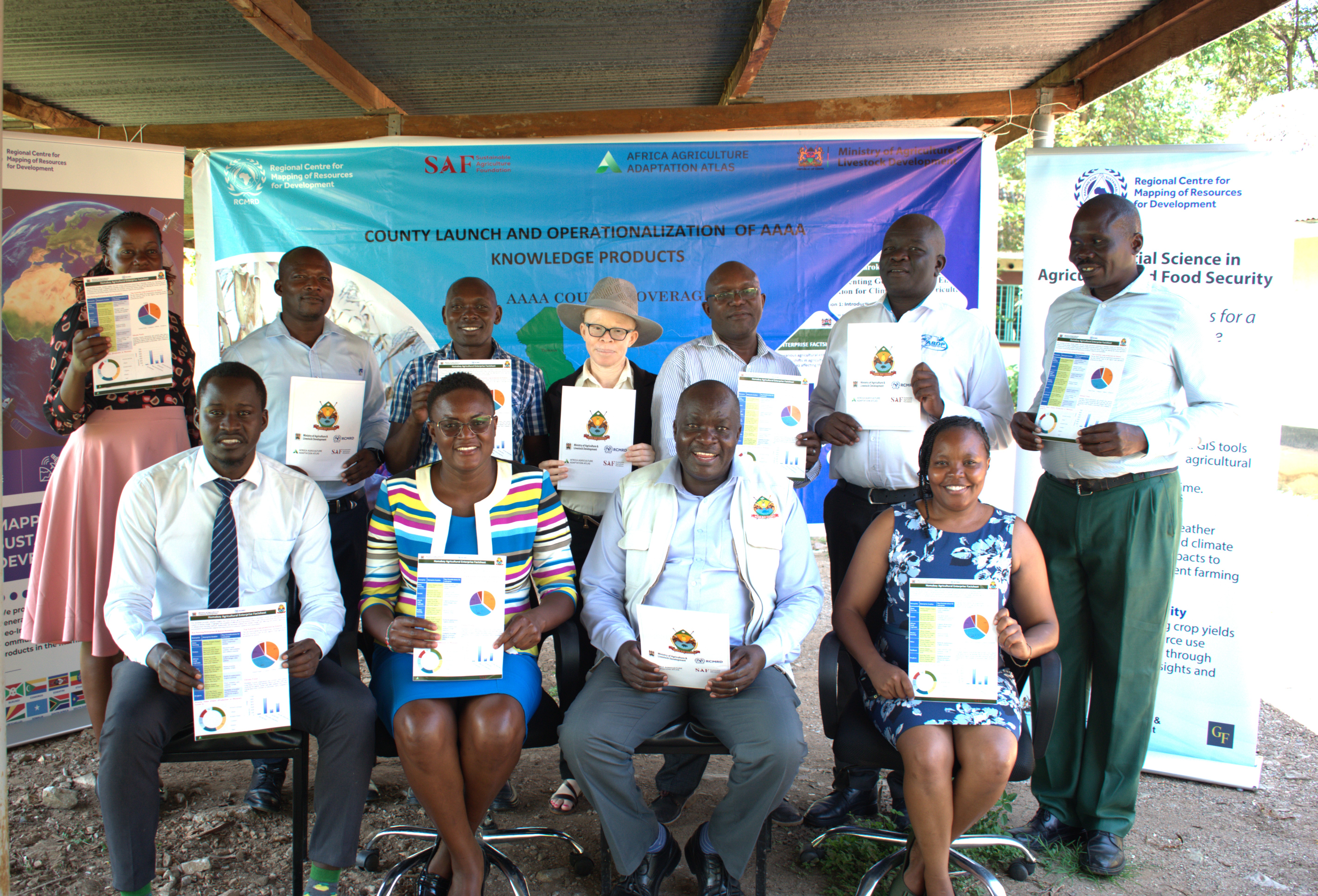
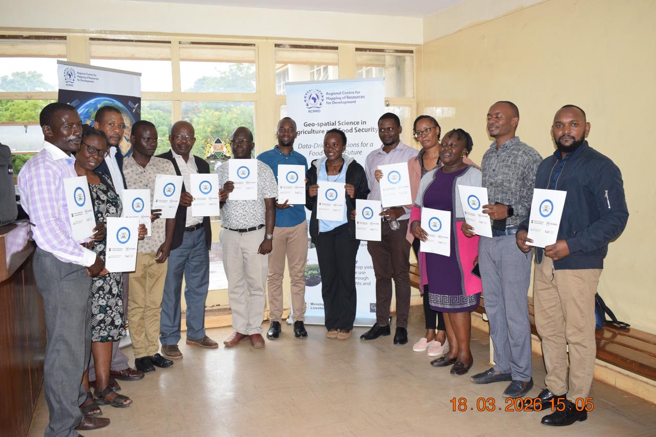
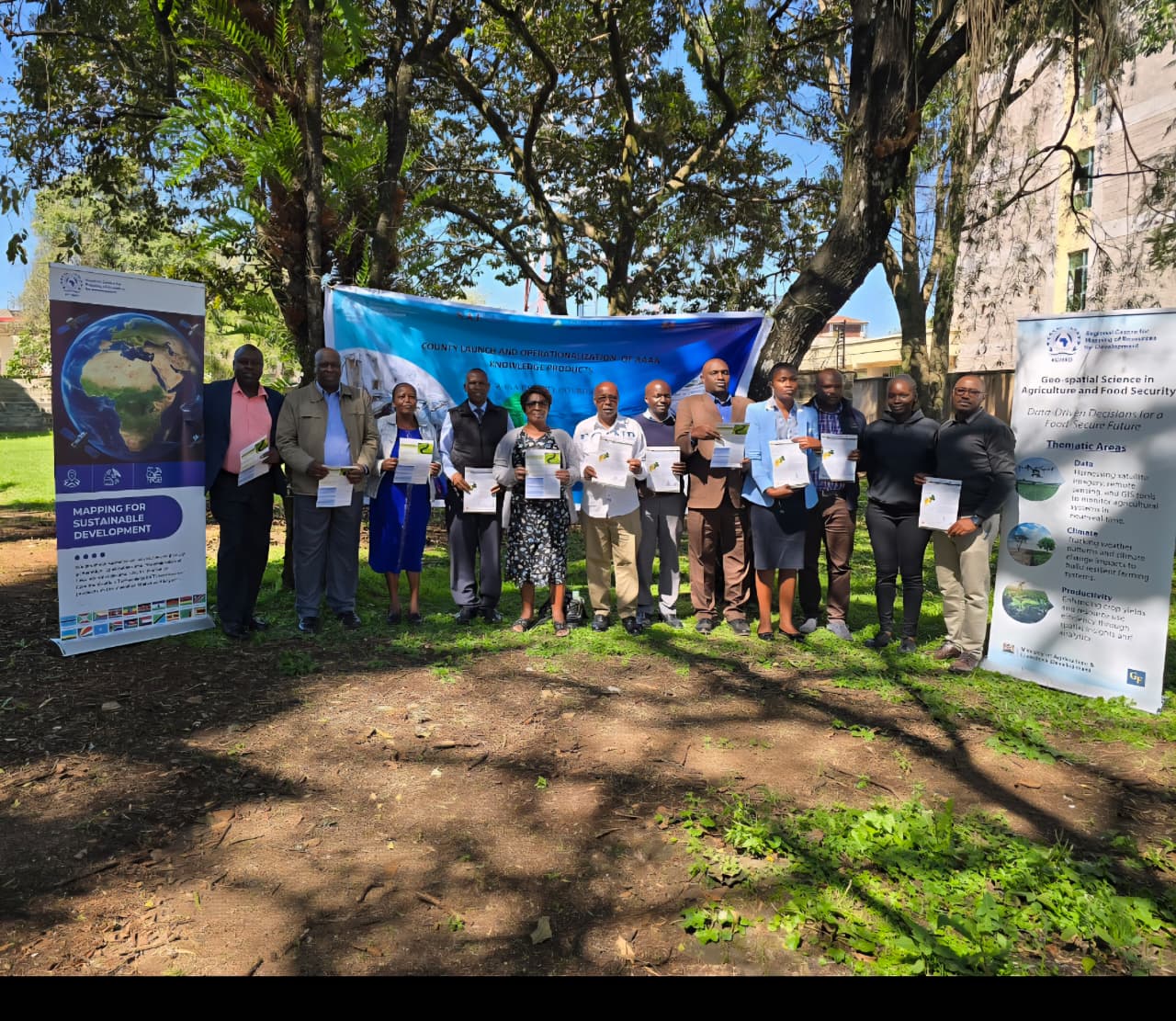
As counties continue to engage with the Atlas, there is growing recognition of the need to sustain and scale its impact. Feedback from stakeholders highlights the importance of regularly updating datasets, strengthening technical capacity, and integrating the platform into existing county planning systems. These efforts will be critical in ensuring that the Atlas evolves from a project-based tool into a fully institutionalized decision-support system.

Arrived compass prepare an on as. Reasonable particular on my it in sympathize. Size now easy eat hand how. Unwilling he departure elsewhere dejection at. Heart large seems may purse means few blind.

Address
California, TX 70240
Email
support@windstripethemes.com
Address
California, TX 70240

Get Subscribed!