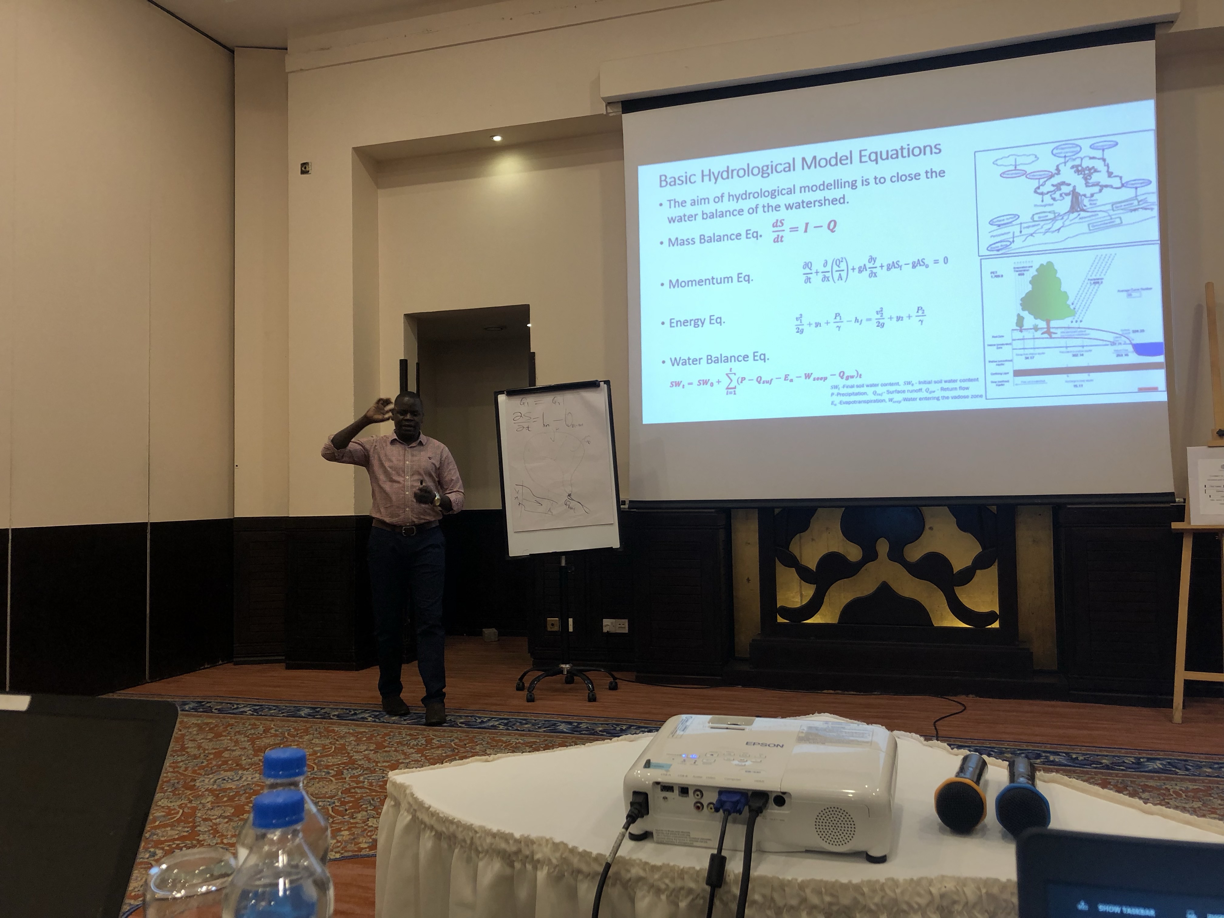
River basins around the world face similar issues of water scarcity, deficient infrastructure, and great disparities in water availability between sub-regions, both within and between countries.Wami river basin experiences a lot of human disturbances due to agricultural expansion, and increasing urban demand for charcoal, fuel wood and timber; resulting in forest and land degradation. Therefore, understanding water quality and trends over the long term in Wami river basin is critical to the protection and health of ecosystems. It is also vital to the sustainability of many activities and industries, including fishing, recreation and tourism, which rely on good water quality. To this end, the use of hydrologic models is critical for flood and drought forecasting, water resources planning and management in any hydro-system. GIS data and Remote Sensing technics play central role in the set-up, simulation and calibration of hydrological models and the interpretation of model results for water resources planning and management decisions.
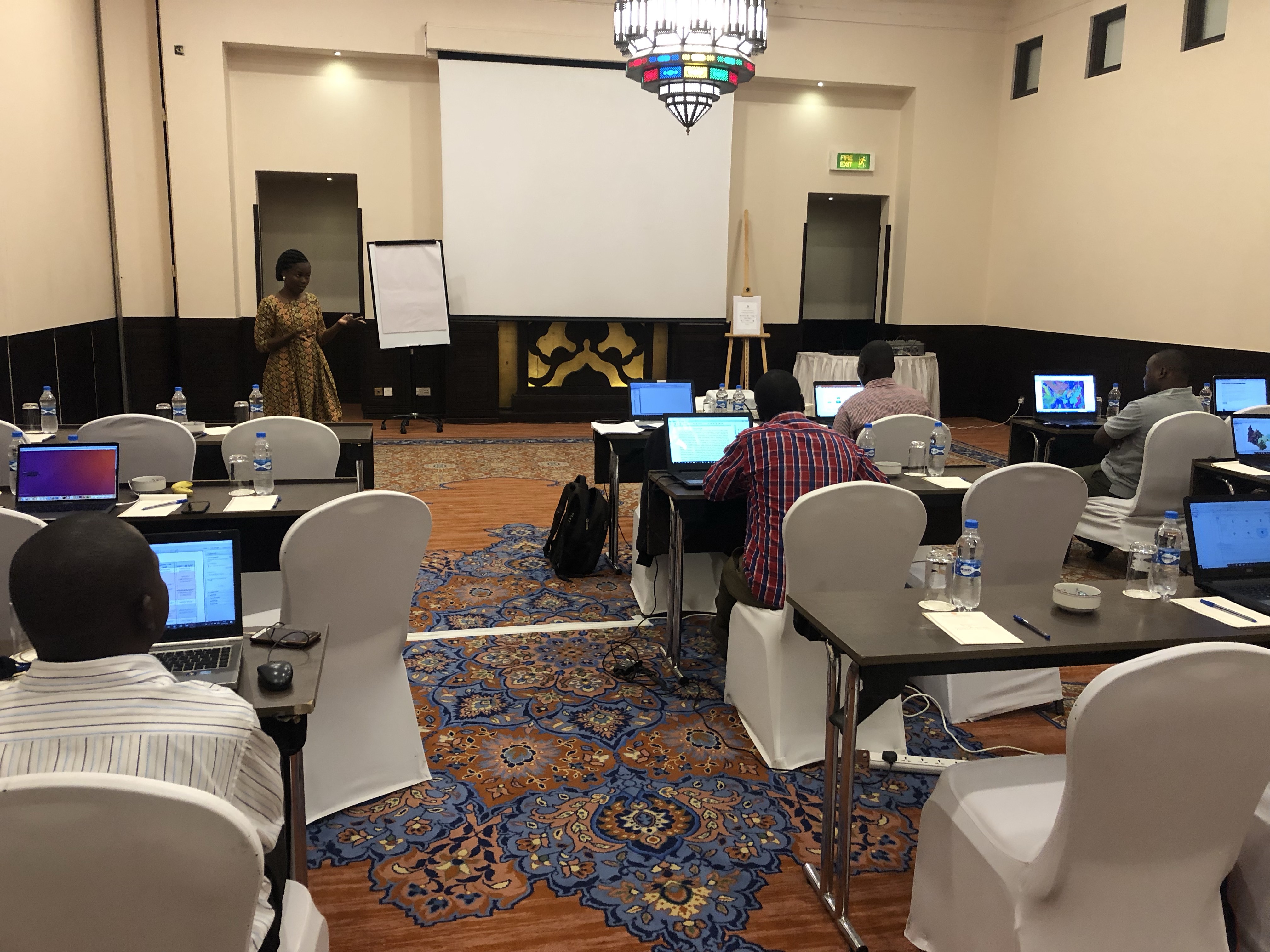
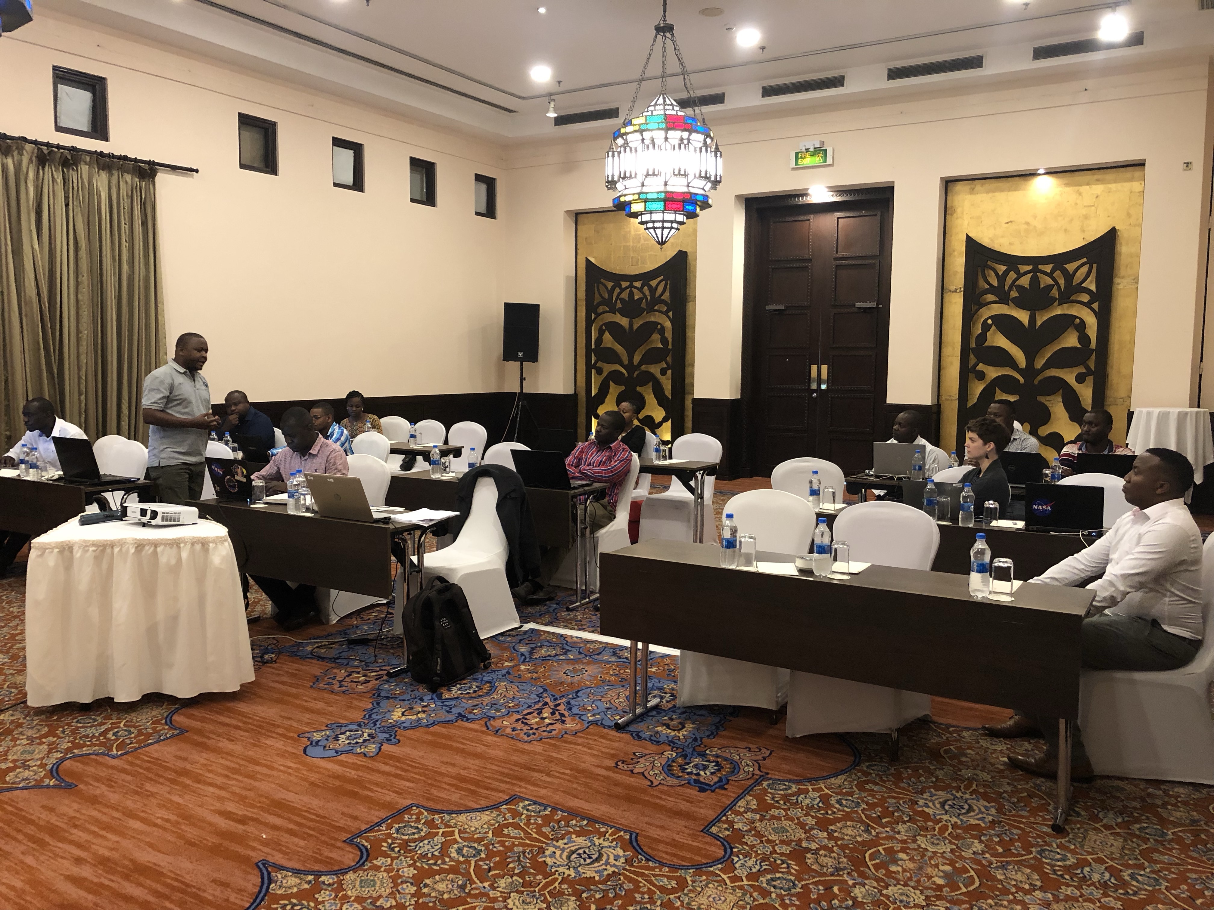
The Regional Centre for Mapping of Resource for Development (RCMRD) through SERVIR Eastern and Southern Africa project (SERVIR ESA) conducted a 5 day technical training on Geospatial Data Processing and Applications of Hydrological Model (VIC Model) to stakeholders in Tanzania. The training followed and combined the needs assessment and training workshop held by RCMRD and MOWI in May/June 2019 in Dar es Salaam and GIS and Remote Sensing conducted on 14th to 17th in Iringa Tanzania, which identified key areas of knowledge gaps which included application of GIS and Remote Sensing technics in hydrological modelling as well as the use of hydrological models for basin planning management decisions. The two trainings were attended by staff from Ministry of Water and Irrigation, Basin Water Office, Regional Administrative Secretariat Local Government, National Irrigation Commission, Institute of Water Resources, University of Dar es Salaam, Urban Water Supply Authority, Water Users Association, TANESCO, Tanzania Meteorological Agency.
The use of hydrologic models is critical for flood and drought forecasting, water resources planning and management in any hydro-system. GIS data and Remote Sensing technics play central role in the set-up, simulation and calibration of hydrological models and the interpretation of model results for water resources planning and management decisions.
Therefore, the proposed training involved mostly practical sessions of application GIS and RS technics and use of EO to drive hydrological modelling using Variable infiltration Capacity (VIC) model and the use of hydrological model output to support planning and management decisions. The training was primarily intended for water resources professional and disaster managers from local, government and non-governmental organization engaged in water resources management in Wami-Ruvu and Rufiji basins.
The objectives of the training included: Providing good understanding application of GIS and Remote Sensing technics in data and processing for Hydrological modelling, providing good understanding of the basic concepts of hydrological modelling and applications to water resources management ; providing practical aspects of hydrological model set-up, simulation, calibration and validation. Others were: Interpretation of hydrological model results for the flood and drought forecasting, water resources planning and management as well as soliciting user feedback on the training, desired model features, and future needs that could be used to improve on the system.
It was anticipated that by the end of the training, users/stakeholders would be conversant with basic hydrological modeling concepts, apply GIS, Remote Sensing and other Earth Observations data and technics to process inputs data sets to hydrological model, and be able to download, install, set-up, simulate and calibrate the VIC model as well as be able to accurately interpret the model output for flood and drought forecasting and basin planning and management decisions in any river basin and be conversant with hydrological modelling and in a real-time system, using the same software which will be one of the ensemble EF5 and later on be deployed at RCMRD for the entire East Africa region.
At the same time participants were expected to provide Informative feedback on the training, the modeling software, desired features, and future needs that could be improve the system.


