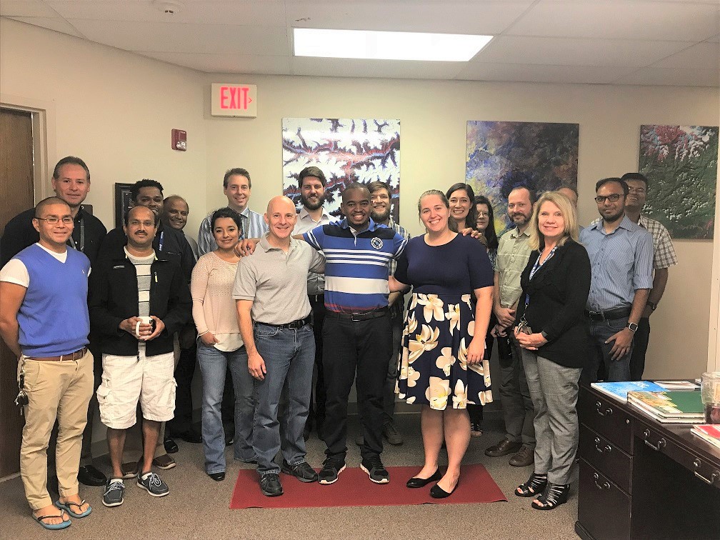
SERVIR, in the context of its ongoing collaboration with SilvaCarbon, is building global capacity for the use of Synthetic Aperture Radar (SAR) for forest monitoring applications and biomass estimation.
To that end, a number of trainings in a range of topics (for example mapping deforestation, forest height estimation) were given at the SERVIR hubs in Africa and Asia in the first half of 2018.
Purpose
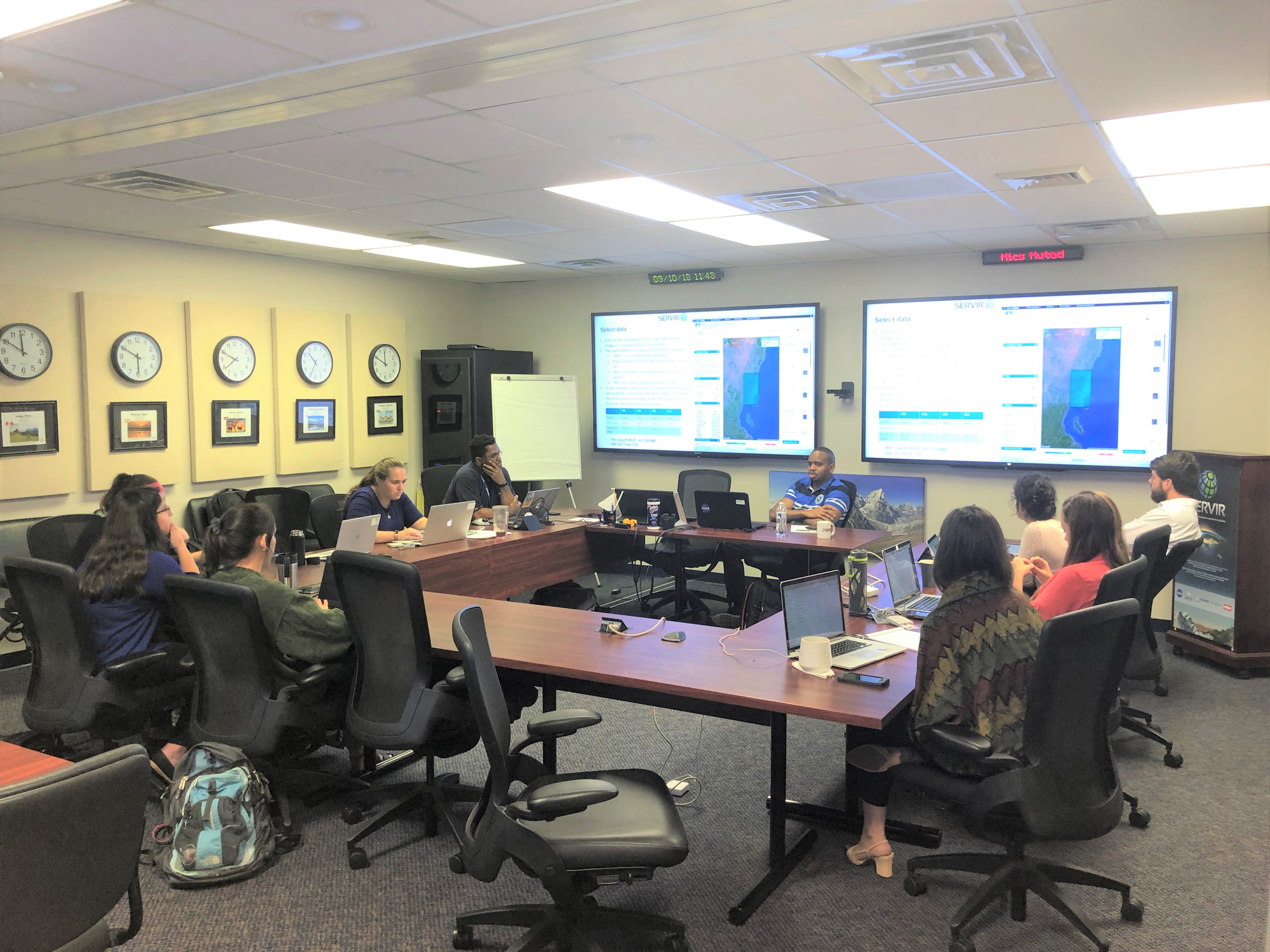
This training summarized the highlights of the lectures and hands-on exercises previously provided by Dr. Marc Simard (NASA/JPL), focusing on the use of SAR data for mangrove identification and Dr. Hans Andersen (USFS), forcusing on sampling design. Emily C. Adams the NASA-SERVIR Eastern and Southern Africa Science Coordination Lead and Dr. Kenneth Mubea RCMRD were the Instructors.

Radar Remote Sensing of Mangrove Forests
Millions of people live along tropical coasts with their livelihood depending on its services, which include coastal protection, fisheries and coal production. Mangrove forests cover thin strips of land along the tropical coast, but they are endangered by climate change and human activity. Its peoples are at risk too. Radar offers the possibility to monitor the health of mangrove forest day and night, and irrespective of cloud cover. In this course, we will introduce mangrove forests, and teach how to use radar remote sensing to map mangrove forest structure and also monitor expansion and loss of mangrove forests.
Sampling Designs for SAR-Assisted Forest Carbon Monitoring
International efforts to reduce carbon emissions from the forest sector have created increased demands on the capabilities of national, and regional, forest monitoring systems to provide timely, accurate information on forest carbon stocks and changes due to deforestation and degradation. There is increasing interest in the development of new sampling designs for monitoring of forest biomass/carbon that can efficiently utilize the low-cost mapped information on forest structure (biomass/carbon) at the global scale that is increasingly available with the recent and future launch of several satellite SAR missions.

For this reason, sampling designs and statistical modelling/estimation frameworks are increasingly sought that provide the basis for sound, statistically-rigorous assessment of uncertainty, utilize a fewer number of expensive field plots and more extensive, efficient use of less-expensive remotely-sensed information, and provide flexibility to accommodate a variety of field plot configurations and remote sensing data acquisition strategies/resolutions. In this workshop, we discuss several important considerations in the assessment of uncertainty in forest biomass surveys and how these considerations should factor into the design and implementation of a sampling design for biomass inventory and monitoring using spaceborne SAR in remote regions.


