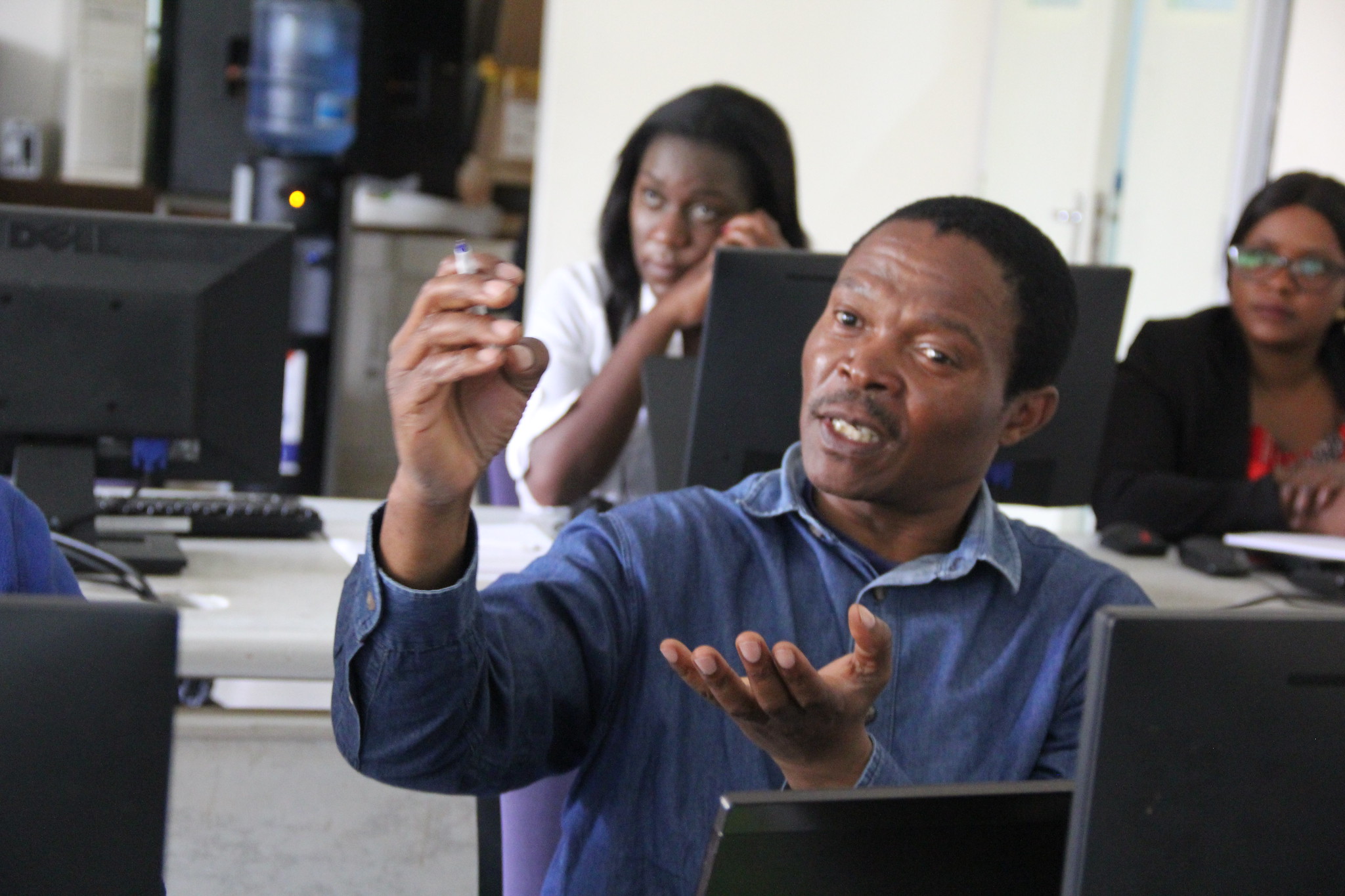
During the week of 14th – 18th October, 2019 RCMRD conducted a training on Application of SAR for Forest Biomass Analysis. This training is part of a series of activities focused on building capacity and decision-making capabilities provided by RCMRD in conjunction with SERVIR and NASA. The training was given by Edward Ouko LULC & Ecosystems Lead and David Ongo a GIS Technician. Mr. Degelo Sendabo the Remote Sensing Officer coordinated the training. Most of the participants in the training included public officials.
SAR- Synthetic Aperture Radar – produces fine resolution images from a radar system. They are active sensors carried by satellites that emit radio waves at different frequencies in the microwave and do not need sunlight to “illuminate” the targets, these radio waves suffer little or no interference from the atmosphere making it possible to acquire images in places where clouds prevail over long periods of time, such as rainforests. With these images it is possible to perform robust time series analysis and detect changes in the landscape, such as flooded areas, deforestation, degradation, regeneration, fires, agricultural areas, and biomass variation, thus becoming great complementary information to images from optical sensors aboard satellites like the Landsat series and Sentinel-2 for example.
The focus of this training was to bring radar basic concepts, pre-processing and applications of SAR data closer to the technicians who produce relevant information about ecosystems monitoring. And who often face issues working with optical data due to weather events and/or high cloud cover.The use of SAR for remote sensing is particularly suited for tropical countries. By proper selection of operating frequency, the microwave signal can penetrate clouds, haze, rain and fog and precipitation with very little attenuation, thus allowing operation in unfavourable weather conditions that preclude the use of visible/infrared system, the participants were told.

This training aimed at training stakeholders in Sentinel satellites data analysis for various applications. In addition, this training provided knowledge on theories of microwave radar and optical remote sensing data analysis and hands‐on practice in Sentinel data analysis tools and techniques focusing on crop area mapping and growth monitoring, land use and land cover mapping, and vegetation mapping.
See photos here: https://flic.kr/s/


