Information plays an important role in the formation and implementation of policy. The provision of timely, accurate, useful information can spell the difference between a desirable policy outcome and an indifferent or even damaging one. Making such information widely accessible can elevate the policy debate within government as well as between government and citizens. Driven by the digital revolution and fast-growing remote sensing technologies, Geographic Information Systems (GIS) is re-engineering our view of the world and solving problems in unexpected ways. The use and applicability of spatial data in Africa has grown by leaps and bounds during the past few years. Spatial technologies are these days being used for several purposes which include mapping the spread of diseases, discovery of natural resources, monitoring of natural disasters, monitoring of soil and vegetation conditions etc. All this has helped a great deal towards enhancing and accomplishing the Sustainable Development Goals in Africa.
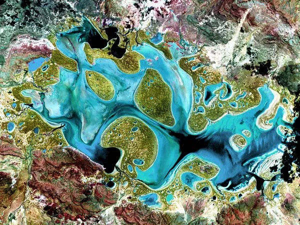
Caption: Sample, Satellite Imagery
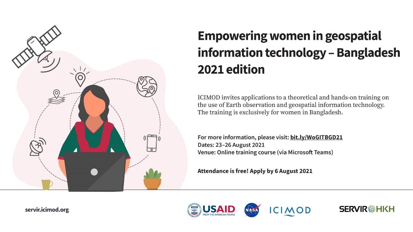
Although Governments play a vital role in resource management and decision making, their engagement and participation in the adoption of GIS tools is very low in Sub-Saharan Africa. In context, the Regional Centre for Mapping of Resource for Development (RCMRD) through its SERVIR E&SA program has focused on strengthening national and institutional capacities on the use of GIS in improving resource management and making informed decisions. The one-week training conducted in Lusaka in November 2021, on “the application of GIS and Remote Sensing” aimed at introducing the fundamentals of GIS and RS as well as their applications and building institutional capacity for sustainable development by maximizing the use of existing geo-data resources in their respective departments. The training workshop covered a wide range of topics, including principles of geographic information system (GIS), basic concepts of remote sensing (RS), GIS data use and visualization, geoprocessing and analytical querying, remote sensing, image interpretation and mapping, calculation of spectral indices, map production, spatial database systems, and data publishing using open-source tools (Postgres and GeoServer).
To test the effectiveness of the training, participants were assigned tasks to complete by following the training manual developed for this training. The training had impressive outcomes but more importantly, the training survey done indicated overall satisfaction from all the participants. Below are views expressed by some of the workshop participants: “The overall content of the training workshop was both challenging as well as exciting. Through short lectures, practical exercises and peer-driven discussions, we learnt the basics of GIS and how to use RS techniques to classify land uses in Zambia using QGIS which is a freely available software. The knowledge gained is very important and when applied in our activities we will have a better understanding of ecosystems such as forest cover or productivity in water bodies. This is important for decision making. Another participant said, “Among other methods, we learnt about digitization and attributes which are important tasks for a GIS specialist. For this task QGIS provided many tools for efficient capturing of resources both existing and old such as schools. The query and analysis, has introduced us to tools that we can use to know where to place new resources, which ares have deficiency that need to be quickly addressed and prioritized. And the fact that there’s possibilities of data integration even with population data is quite a It was interesting to see the possibilities of open-source tools such as QGIS perform spatial data analysis on spatial databases.”
Caption: GIS and RS Spectrum
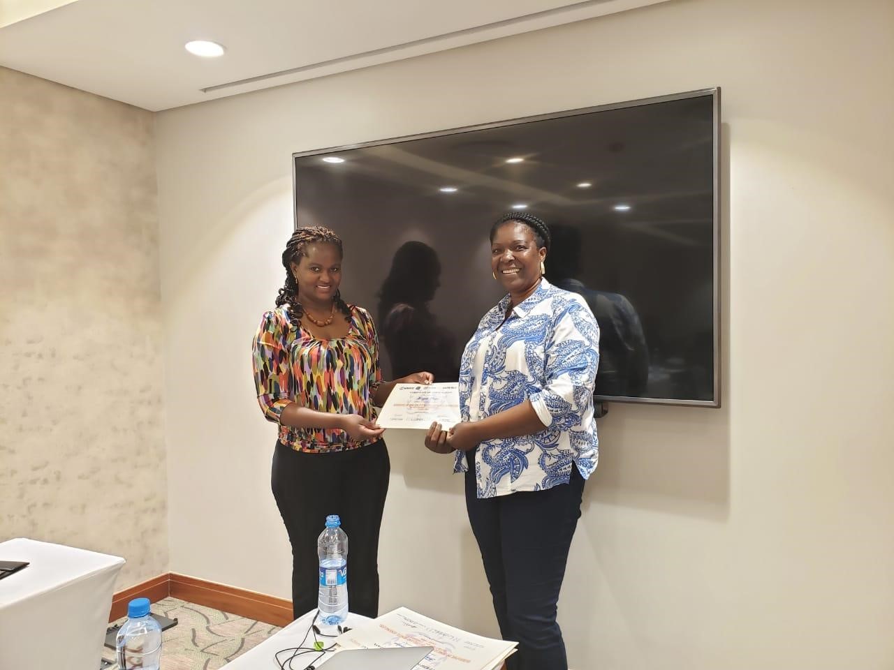
Caption: Participation Certificate Award


