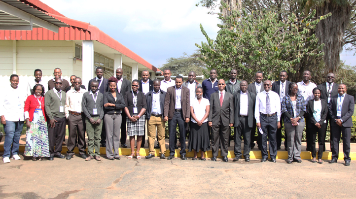
One of the core objectives of SERVIR-E&SA is to improve the Capacity to use Information. Building the capacity of analysts and decision makers in government, civil society groups, and the media to integrate geospatial and Earth observation data, including climate data, and technologies into their analysis, policy, planning, management, and communications.

This goes as far as providing user-tailored data and tools for decision-making. The tools, products and services range from decision support tools, applications, models, dissemination to training. In collaboration with NASA and other international scientist, SERVIR E&SA continues to provide information on climate related developmental issues.
Desired outcome.
- Improved capacity of RCMRD to function as regional service provider
- Improved capacity of analysts and decision-makers to use earth observation information and geospatial information technologies
- Improved awareness of and access to geospatial data, products, and tools
- Increased provision of user-tailored geospatial data, products, and tools to inform decision-making
In this regards various initiatives that are geared towards achieving the desired outcome has already being rolled out. They include
- User needs assessment in Uganda, Rwanda, Tanzania and Kenya.
- Technical Capacity building for EAC experts in climate change vulnerability assessments and mapping (Kenya, Tanzania, Rwanda)
- Capacity building training for NRT and LWF on basic GIS and remote sensing.


