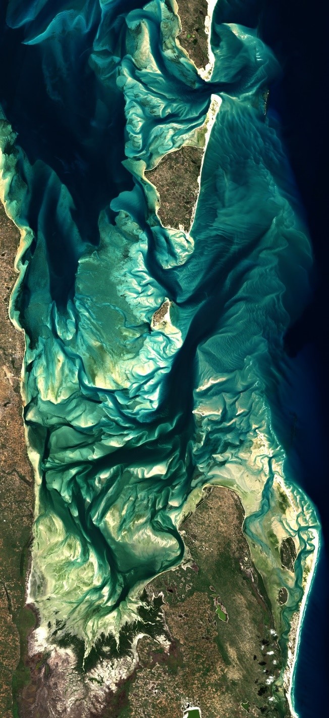
African nations can now access high-resolution satellite images in the Digital Earth Africa (DE Africa) platform that will enable countries to monitor changes that relate to people and the environment due to the impacts of COVID-19 and other critical challenges. DE Africa has made available a vast amount of data captured by The European Space Agency’s Sentinel-2 satellites in a format that makes it accessible and suitable for general use. Satellite images captured by Sentinel-2 are particularly important for Africa because they offer ten-metre resolution and are captured every five days, so land and water can be analysed in unprecedented detail.
Digital Earth Africa (DE Africa)released its first operational analysis-ready Earth observation (EO) data for all of Africa, available for anyone across the continent. Using free and open images captured by the European Space Agency’s (ESA) Sentinel-2 satellites, DE Africa translates the data into a format that makes it suitable for anyone to use. Images are captured at a high resolution of ten metres and captured every five days, so land and water can be analysed in unprecedented detail. DE Africa provides it in an analysis-ready format shortly after they are captured.

Satellite imagery can be used to address many challenges faced by the African continent as it enables countries to actively monitor and manage natural resources and respond to crises, said DE Africa Managing Director, Dr Adam Lewis. “We are pleased to announce the availability of this new data within the DE Africa platform. It is the first analysis-ready data at the continental scale for Africa, meaning it is made available shortly after images are captured and provided in a familiar image file format.”
“Optimising the availability and accessibility of satellite data places Africa in a better position to drive decisions across the continent. It addresses the key problem of making vast amounts of data being captured by satellites available, findable, accessible and suitable, providing an opportunity for a larger range of non-specialist people to use the valuable information,” Dr Lewis said. Managing Director Earth Observation at the South African National Space Agency and Co-chair of the DE Africa Technical Advisory Committee, Ms Andiswa Mlisa, said that not only is this an important milestone for the program but it comes at an important time. “We are already seeing data play a key role in building systems and solutions for the response and recovery of COVID-19 in Africa, and now access to DE Africa’s first operational satellite data means we can use it to support decision making much easier than before.” “DE Africa will provide these satellite images not only directly to users but will also integrate with other information platforms and solutions already supporting the COVID-19 response in Africa.” “Whether that is greater access to water sources or addressing feared food security shortages through the ability to map food crops.”
More information about DE Africa is available at: digitalearthafrica.org


