
Malawi Hazards and Vulnerability Atlas Launched
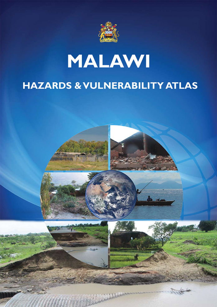
The first hazards and vulnerability Atlas was launched on Tuesday 18th August, 2015 in Lilongwe, Malawi. The Atlas was officially launched by the Principal Secretary of Disaster Management Affairs, Malawi, in the presence of the Principal Secretary of Lands, Housing & Urban Development, Malawi, and the Principal Secretary of Defense, Malawi. The Atlas contains maps and statistics that clearly show the different hazards such as floods, droughts, diseases, and earth quakes, and their frequency, intensity and location in a spatial manner. It also gives details of vulnerability of the population to these hazards.
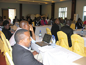
Participants during the launch of the first hazards and vulnerability Atlas
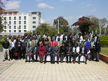
Participants pose for a group photo during the launch of the hazards and vulnerability Atlas
The Atlas was produced by RCMRD in collaboration with the Department of Disaster Management Affairs and the Surveys and Mapping Department of Malawi. The United States Agency for International Development (USAID) and The United Nations Development Programme (UNDP) provided financial support for the project.


