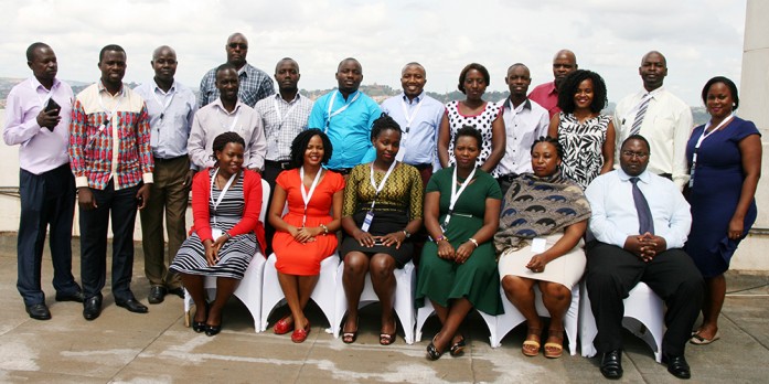
RCMRD/SERVIR E&SA held a week-long training on Climate Change Vulnerability Mapping Training in Kampala, Uganda beginning 20–24 March, 2017. The training was
conducted by the SERVIR E&SA Vulnerability Impacts and Assessments (VIA) team for national technical experts on technologies being applied in East Africa to assess climate change vulnerability to key development sectors.
The training builds on the PREPARED’s Climate Change VIAs in the East African Community and the Lake Victoria Basin and RCMRD’s VIA work in Malawi, and in the Northern rangelands of Kenya. The training materials and tools being used are open-source, for example, GeoCLIM and R for statistics. The VIAs use historical climate data from national meteorological agencies and future climate scenarios from ICPAC. Additionally, the experts are using ESRI’s ArcGIS for spatial analysis and mapping. The aim of vulnerability assessments in this context is to identify current and plausible future impacts of climate change, the sensitivities of people and ecosystems to the impacts, and the existing capacities that can support adjustment to the impacts through policy interventions in resilience building. The training is supported by SERVIR E&SA, RCMRD, PREPARED, ICPAC and FEWS NET.
The training attracted participants from the Ministry of Lands Housing & Urban Development (MoLHUD), Ministry of Water and Environment, Uganda Bureau of Statistics(UBoS), Ministry of East African Community Affairs, Ministry of Agriculture Animal Industry and Fisheries, Uganda National Meteorology Authority(UNMA), Ministry of Works and Transport, National Forest Authority(NFA), Makerere University, Kilimo Trust, Air Water Earth and ESIPPS.
*GeoCLIM is designed for climatological analysis of historical rainfall and temperature data. It was developed by USGS FEWS NET in support of the USAID PREPARED and Global Climate Change activities http://chg.geog.ucsb.edu/tools/geoclim/
*R is a free software environment for statistical computing and graphics https://www.r-project.org/
*PREPARED (Planning for Resilience in East Africa through Policy, Adaptation, Research and Economic Development) is a USAID funded climate change adaptation project for East Africa which aims at strengthening the resiliency and sustainability of East African economies, trans-boundary freshwater ecosystems, and communities.
*ICPAC IGAD Climate Prediction and Applications Centre http://www.icpac.net/
*FEWS NET FEWS NET, the Famine Early Warning Systems Network, is a leading provider of information and analysis on food insecurity. Created in 1985 by the US Agency for International Development (USAID), and the US Department of State, after devastating famines in East and West Africa, FEWS NET today is a valuable resource to a vast community of governments, international relief agencies, NGOs, journalists, and researchers planning for, responding to, and reporting on humanitarian crises https://www.fews.net/


